Home
States
Colorado
Connecticut
Maine
Massachusetts
New Hampshire
New York
Rhode Island
Utah
Vermont
View All
Lists
NE 4,000 Footers
NE 100 Highest
NH 4,000 Footers
NH 100 Highest
NH 52 With A View
NH Belknap Range
NH Ossipee 10
Links
Trail Conditions
Trip Log
Sunrises
Sunsets
About
|
Sayre Peak
Woodstock, NH
Trailheads, measurements, times, distances, and maps are all approximate and relative to the hike(s) as shown below.
The Al Merrill Loop
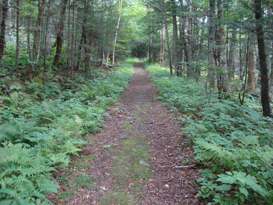
Route: Asquam Ridge Trail, Al Merrill Loop, unknown trail, (Sayre Peak), unknown trail, Al Merrill Loop, Asquam Ridge Trail
Jog on a cloudy day. Good footing on the southern portion of the Al Merrill Loop. No views from the ground on Sayre Peak.
| Hike Ratings |
|
Getting To Trailhead: |
Easy |
| Destination: |
Sayre Peak |
|
Length: |
Moderate |
|
Steepness: |
Moderate |
|
Navigation: |
Easy |
|
Views: |
Excellent |
|
Crowds: |
Minimal |
|
| Hike Stats |
|
Date Hiked: |
Wednesday, August 3, 2011 |
| Parking Elevation: |
2,460' |
| Destination: |
Sayre Peak |
| Time Elapsed: |
00:22 |
| Trailhead Elevation: |
2,460' |
| Summit Elevation: |
3,157' |
| Vertical Gain: |
717' |
|
|
| Hike Time Elapsed: |
01:40 |
| Hike Vertical Gain: |
1,567' |
|
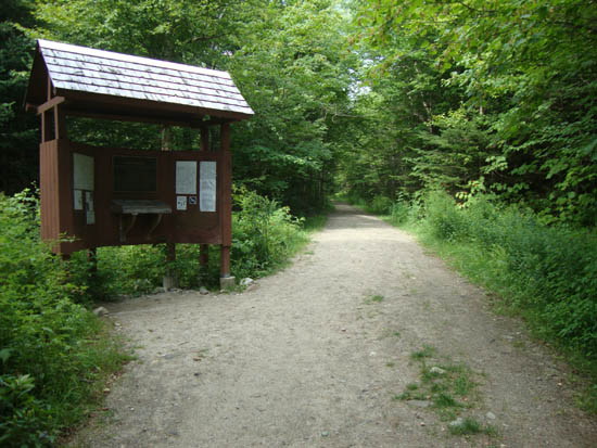
The Asquam Ridge Trail upper trailhead
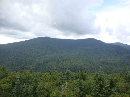
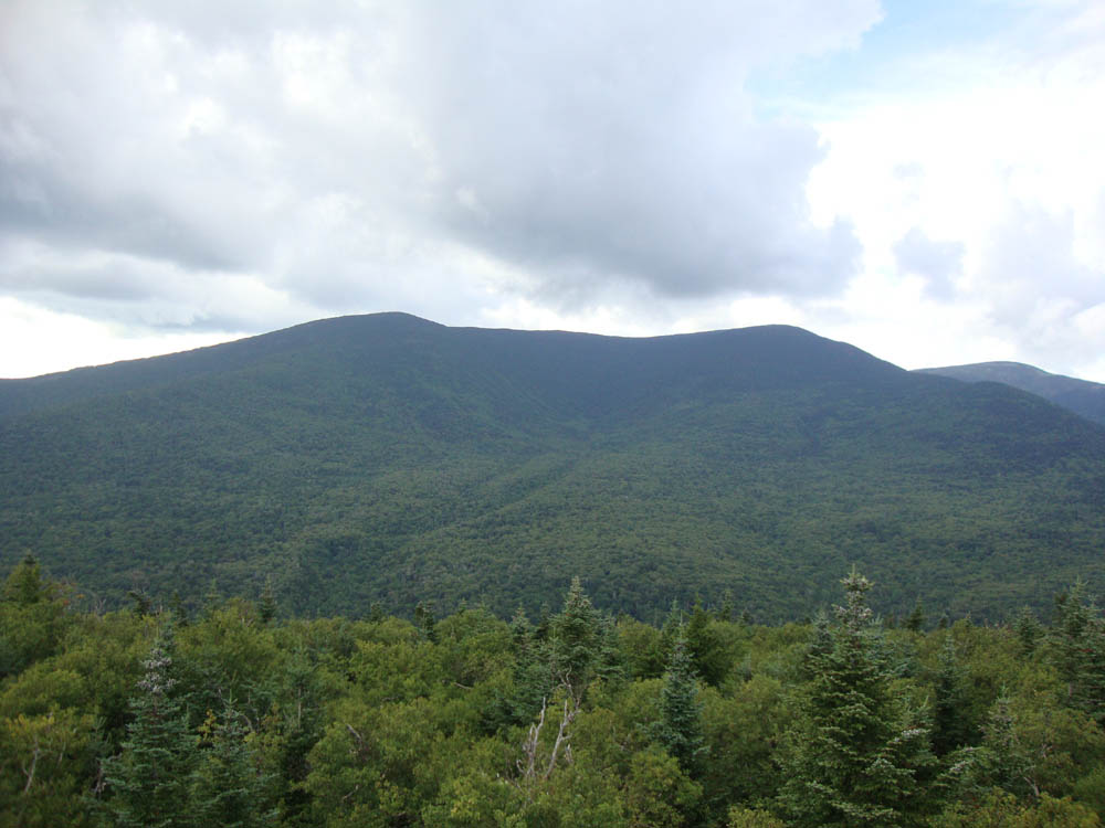
Looking toward Moosilauke from an object on Sayre Peak
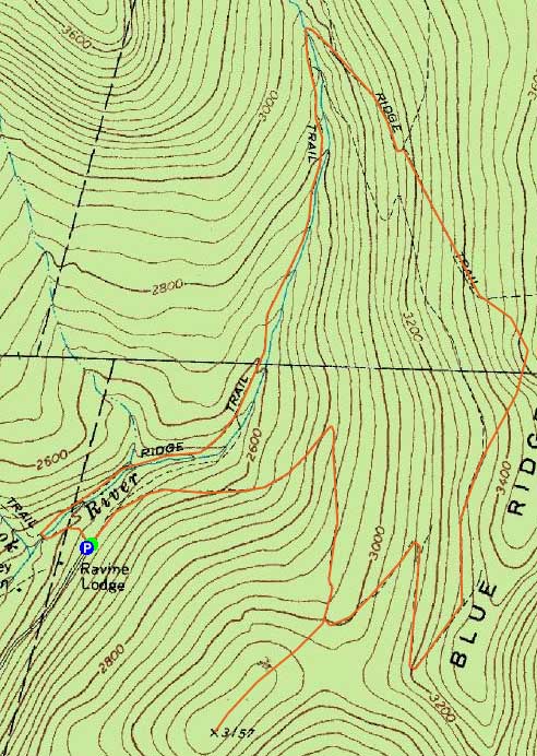

Directions to trailhead: Take Route 112 West to Route 118 south/west. Ravine Road will be on the right shortly after the height of land. Go down this dirt road and bear right. Limited parking available on the side of the road. The Asquam-Ridge Trail starts at the kiosk at the end of the road.
Back to Sayre Peak Profile
|