Home
States
Colorado
Connecticut
Maine
Massachusetts
New Hampshire
New York
Rhode Island
Utah
Vermont
View All
Lists
NE 4,000 Footers
NE 100 Highest
NH 4,000 Footers
NH 100 Highest
NH 52 With A View
NH Belknap Range
NH Ossipee 10
Links
Trail Conditions
Trip Log
Sunrises
Sunsets
About
|
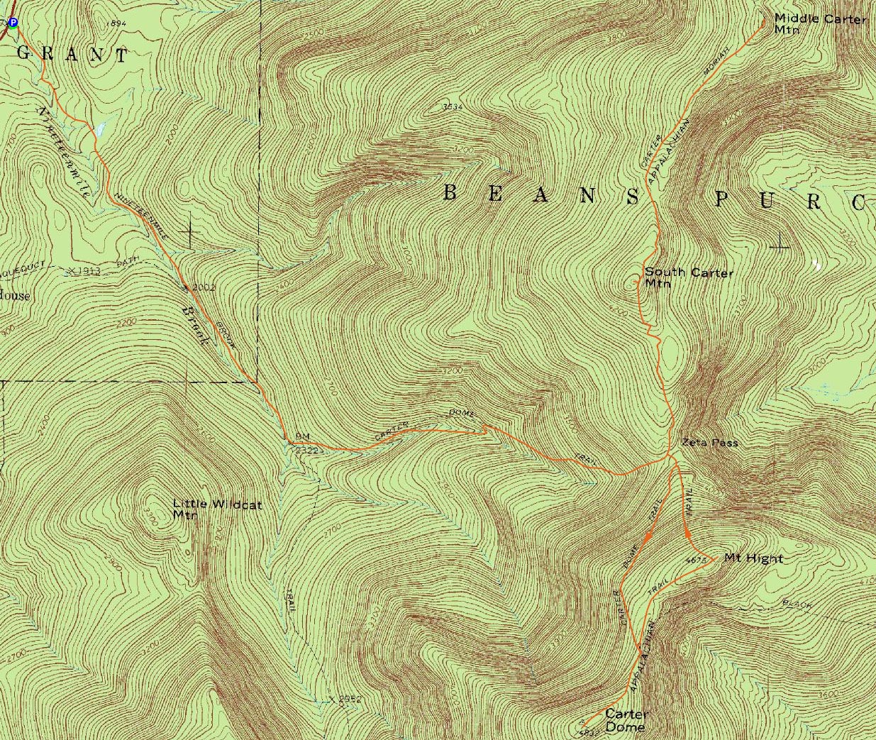
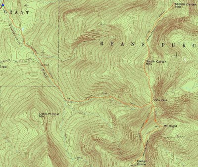
South Carter Mountain, Middle Carter Mountain, Carter Dome, Mt. Hight
Green's Grant, NH, Bean's Purchase, NH
Trailheads, measurements, times, distances, and maps are all approximate and relative to the hike(s) as shown below.
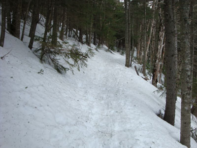
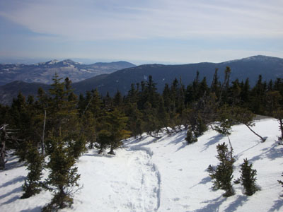
Looking up the Carter Dome Trail on the way to South Carter
Route: Nineteen Mile Trail, Carter Dome Trail, Carter-Moriah Trail, (South Carter Mountain), Carter-Moriah Trail, (Middle Carter Mountain), Carter-Moriah Trail, (South Carter Mountain), Carter-Moriah Trail, Carter Dome Trail, Carter-Moriah Trail, (Carter Dome), Carter-Moriah Trail, (Mt. Hight), Carter-Moriah Trail, Carter Dome Trail, Nineteen Mile Trail
Though I had been hoping for a nice warm day on the Presidentials, advanced forecasts were showing some wind as the weekend approached. Thus, the Carters seemed like a good alternative.
Arriving at the Nineteen Mile Brook ice skating rink "parking lot," I had to re-park after having my vehicle start to slide while we were getting ready. Finally on the trail, we worked our way up to Zeta Pass under cloudy skies with winds whipping around. Reaching South Carter on broken out trail, we could see pretty much everything above us (Hight, Middle Carter) was in the clouds.
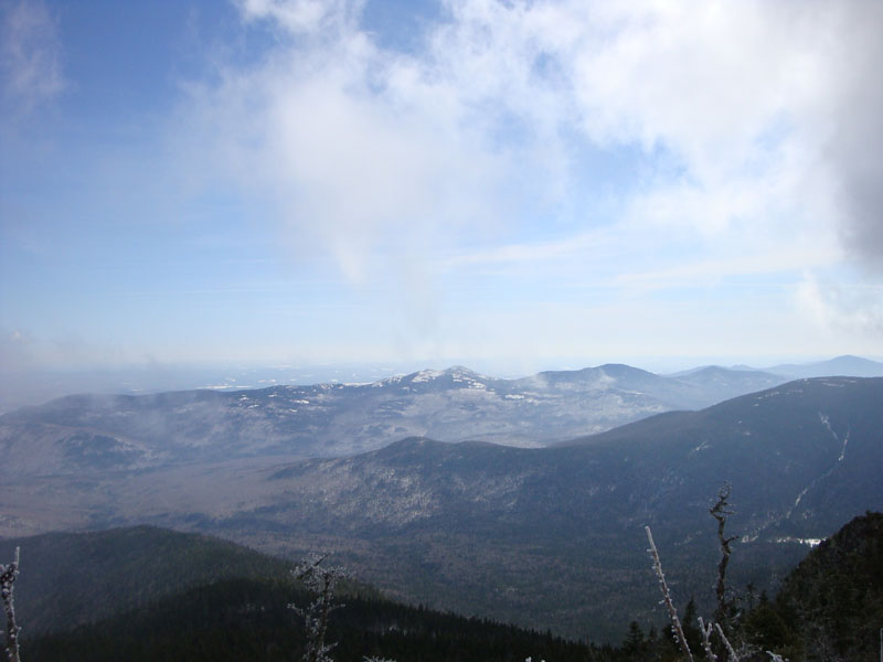
The Carter-Moriah Trail to Middle Cater was not broken out - the wide variety of weather over the previous days made for interesting trailbreaking. While the ridge was out of the clouds for the most part, Middle Carter was obscured as we reached. Loitering for a bit, we had some nice glimpses of the Evans Notch area as the clouds tried to move out. Turning around and working our way back to South Carter, the blue sky finally started to show, making for a very nice ridge walk.
Back on South Carter, we did a very short bushwhack to the east just south of the summit, reaching a small ledge that provided excellent views to the south and east.
Our next stop was Carter Dome - a somewhat gradual, but nonetheless plentiful climb. While it had seemed like a different world a month and a half earlier, it was even more interested on this day - huge snow drifts on the west side of the ridge. A drift just west of the summit looked to be twelve feet deep - quite a nice place to stand for exclusive views! While the vistas are limited in the summer, we could had tremendous views to the south, west, and north and some directional views to the east. Though we were spotted at the Wildcat ski area parking lot, we felt we had done enough for the day and decided to backtrack. Along the way, we made a brief detour over to Mt. Hight, via a somewhat hard to follow trail (due to all sorts of snowshoe tracks going various directions). While things were starting to cloud up to the south and west, there were still some nice blue sky views to be had from the rocky summit.
Other than the steep descent off Mt. Hight, we had a fairly gradual hike back to the parking lot. A nice spring day!
| Hike Ratings |
|
Getting To Trailhead: |
Easy |
| Destination: |
South Carter Mountain |
|
Length: |
Moderate |
|
Steepness: |
Difficult |
|
Navigation: |
Easy |
|
Views: |
Excellent |
|
Crowds: |
Minimal |
| Destination: |
Middle Carter Mountain |
|
Length: |
Moderate |
|
Steepness: |
Difficult |
|
Navigation: |
Moderate |
|
Views: |
Excellent |
|
Crowds: |
Minimal |
| Destination: |
Carter Dome |
|
Length: |
Difficult |
|
Steepness: |
Difficult |
|
Navigation: |
Easy |
|
Views: |
Excellent |
|
Crowds: |
Moderate |
| Destination: |
Mt. Hight |
|
Length: |
Difficult |
|
Steepness: |
Difficult |
|
Navigation: |
Moderate |
|
Views: |
Excellent |
|
Crowds: |
Minimal |
|
| Hike Stats |
|
Date Hiked: |
Saturday, March 7, 2009 |
| Hike Commenced: |
9:01 AM |
| Parking Elevation: |
1,485' |
| Destination: |
South Carter Mountain |
| Ascent Commenced: |
9:01 AM |
| Summit Reached: |
11:49 AM |
| Time Elapsed: |
02:48 |
| Trailhead Elevation: |
1,485' |
| Summit Elevation: |
4,430' |
| Vertical Gain: |
3,015' |
| Destination: |
Middle Carter Mountain |
| Ascent Commenced: |
11:51 AM |
| Summit Reached: |
12:56 PM |
| Time Elapsed: |
01:05 |
| Trailhead Elevation: |
4,430' |
| Summit Elevation: |
4,610' |
| Vertical Gain: |
595' |
| Destination: |
Carter Dome |
| Ascent Commenced: |
1:05 PM |
| Summit Reached: |
3:24 PM |
| Time Elapsed: |
02:19 |
| Trailhead Elevation: |
4,675' |
| Summit Elevation: |
4,832' |
| Vertical Gain: |
1,307' |
| Destination: |
Mt. Hight |
| Ascent Commenced: |
3:51 PM |
| Summit Reached: |
4:18 PM |
| Time Elapsed: |
00:27 |
| Trailhead Elevation: |
4,832' |
| Summit Elevation: |
4,675' |
| Vertical Gain: |
165' |
|
|
| Hike Ended: |
6:19 PM |
| Hike Time Elapsed: |
09:18 |
| Hike Vertical Gain: |
5,162' |
|
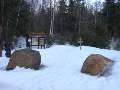
The Nineteen Mile Brook Trail trailhead on Route 16
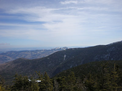
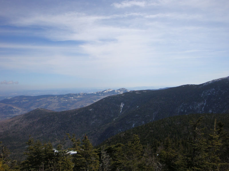
Looking at the Baldfaces from near the summit of South Carter
The Carter-Moriah Trail between South and Middle Carter
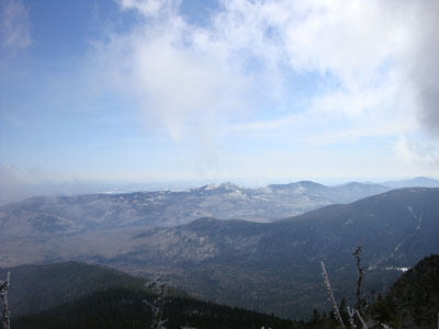
Looking at the Baldfaces from near the summit of Middle Carter
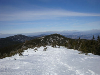
Looking down the Carter-Moriah Trail near Carter Dome

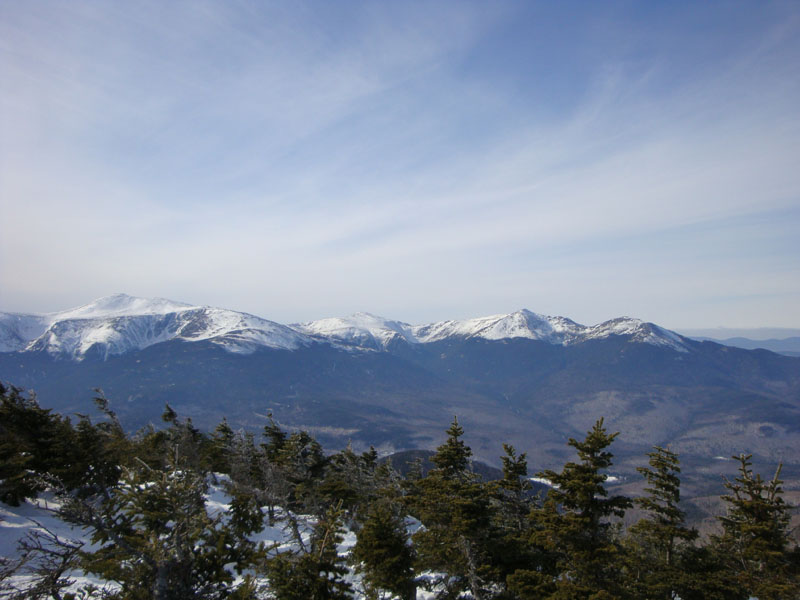
Looking at Washington, Jefferson, Adams, and Madison from Carter Dome
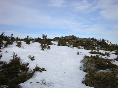
The Carter-Moriah Trail near Mt. Hight

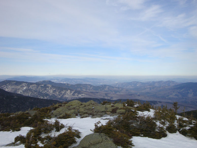
Looking northeast into Maine from Mt. Hight

Directions to trailhead: Take Route 16 North past the Mt. Washington Auto Road entrance. Shortly thereafter, the Nineteen Mile Brook Trail WMNF fee parking area and trailhead are on the right side of the road, immediately after the brook.
Back to South Carter Mountain Profile
Back to Middle Carter Mountain Profile
Back to Carter Dome Profile
Back to Mt. Hight Profile
|