Home
States
Colorado
Connecticut
Maine
Massachusetts
New Hampshire
New York
Rhode Island
Utah
Vermont
View All
Lists
NE 4,000 Footers
NE 100 Highest
NH 4,000 Footers
NH 100 Highest
NH 52 With A View
NH Belknap Range
NH Ossipee 10
Links
Trail Conditions
Trip Log
Sunrises
Sunsets
About
|
South Moat Mountain, Middle Moat Mountain
Albany, NH
Trailheads, measurements, times, distances, and maps are all approximate and relative to the hike(s) as shown below.
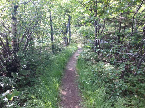
The Moat Mountain Trail
Route: Moat Mountain Trail
Trail was generally dry. Lots of blueberries in bloom, slowing hiking speed. Went all the way to Red Ridge Trail and back.
Good idea to have a general sense of where the trail goes, as its very easy to wander off it onto herd paths due to a lack of markings.
| Hike Ratings |
|
Getting To Trailhead: |
Easy |
| Destination: |
South Moat Mountain |
|
Length: |
Moderate |
|
Steepness: |
Difficult |
|
Navigation: |
Moderate |
|
Views: |
Excellent |
|
Crowds: |
Minimal |
| Destination: |
Middle Moat Mountain |
|
Length: |
Moderate |
|
Steepness: |
Difficult |
|
Navigation: |
Moderate |
|
Views: |
Excellent |
|
Crowds: |
Minimal |
|
| Hike Stats |
|
Date Hiked: |
Thursday, July 5, 2012 |
| Parking Elevation: |
650' |
| Destination: |
South Moat Mountain |
| Time Elapsed: |
01:02 |
| Trailhead Elevation: |
650' |
| Summit Elevation: |
2,770' |
| Distance: |
2.7 miles |
| Vertical Gain: |
2,235' |
| Destination: |
Middle Moat Mountain |
| Time Elapsed: |
00:12 |
| Trailhead Elevation: |
2,770' |
| Summit Elevation: |
2,805' |
| Vertical Gain: |
205' |
|
|
| Hike Time Elapsed: |
03:22 |
| Hike Vertical Gain: |
3,375' |
|
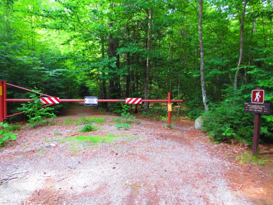
Moat Mountain Trail trailhead
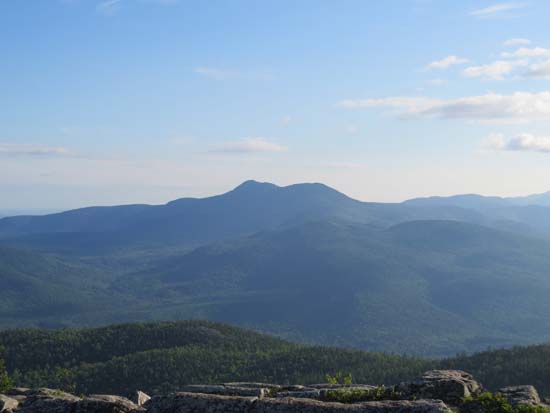
Looking at Mt. Chocorua from South Moat Mountain
The Moat Mountain Trail

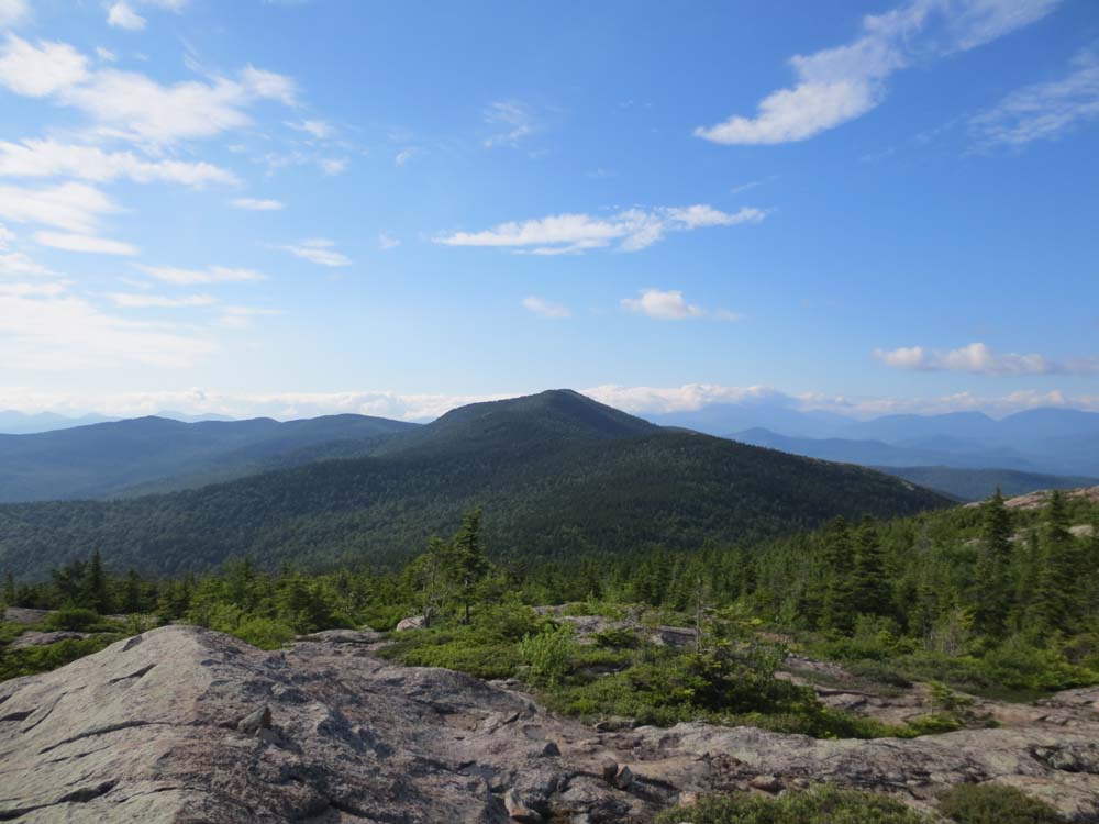
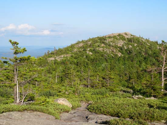
Looking at North Moat from Middle Moat Mountain
Directions to trailhead: Take Route 16 North into Conway. Take a left at the first set of downtown lights onto West Side Road. Soon after, take a left onto Passaconaway Road. A few minutes down the road, the Moat Mountain Trail trailhead and WMNF fee parking area will be on the right. If you pass the picnic area on your left, you've gone just a little bit too far.
Back to South Moat Mountain Profile
Back to Middle Moat Mountain Profile
|