Home
States
Colorado
Connecticut
Maine
Massachusetts
New Hampshire
New York
Rhode Island
Utah
Vermont
View All
Lists
NE 4,000 Footers
NE 100 Highest
NH 4,000 Footers
NH 100 Highest
NH 52 With A View
NH Belknap Range
NH Ossipee 10
Links
Trail Conditions
Trip Log
Sunrises
Sunsets
About
|
Stinson Mountain
Rumney, NH
Trailheads, measurements, times, distances, and maps are all approximate and relative to the hike(s) as shown below.

The Stinson Mountain Trail
Route: Stinson Mountain Trail
Trail had 1-6" of snowpack on it with a breakable crust on top. I barebooted roundtrip without much issue (apart from ice coating the summit), though the areas of 6" (short lived, about 3/4 of the way up) were a little vexing. Would have been too bony to snowshoe. A few areas of open mud as well.
| Hike Ratings |
|
Getting To Trailhead: |
Easy |
| Destination: |
Stinson Mountain |
|
Length: |
Moderate |
|
Steepness: |
Moderate |
|
Navigation: |
Easy |
|
Views: |
Excellent |
|
Crowds: |
Minimal |
|
| Hike Stats |
|
Date Hiked: |
Friday, December 5, 2014 |
| Parking Elevation: |
1,495' |
| Destination: |
Stinson Mountain |
| Time Elapsed: |
00:43 |
| Trailhead Elevation: |
1,495' |
| Summit Elevation: |
2,900' |
| Distance: |
1.8 miles |
| Vertical Gain: |
1,415' |
|
|
| Hike Time Elapsed: |
01:31 |
| Hike Vertical Gain: |
1,425' |
|

The Stinson Mountain Trail trailhead on Doetown Road

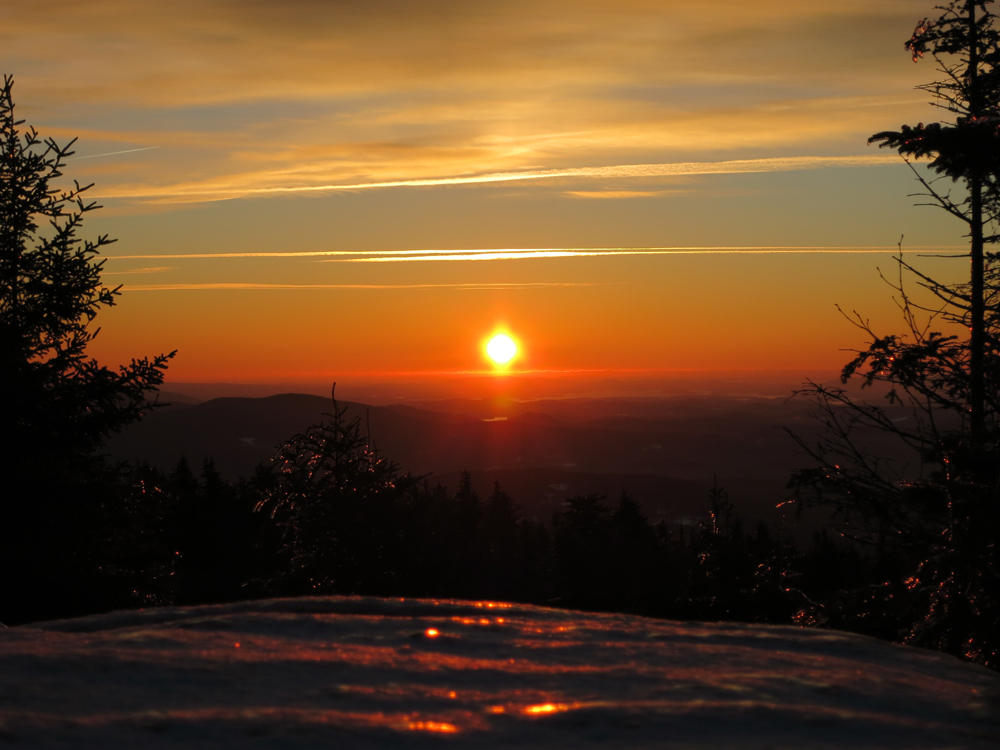
The sunrise from Stinson Mountain

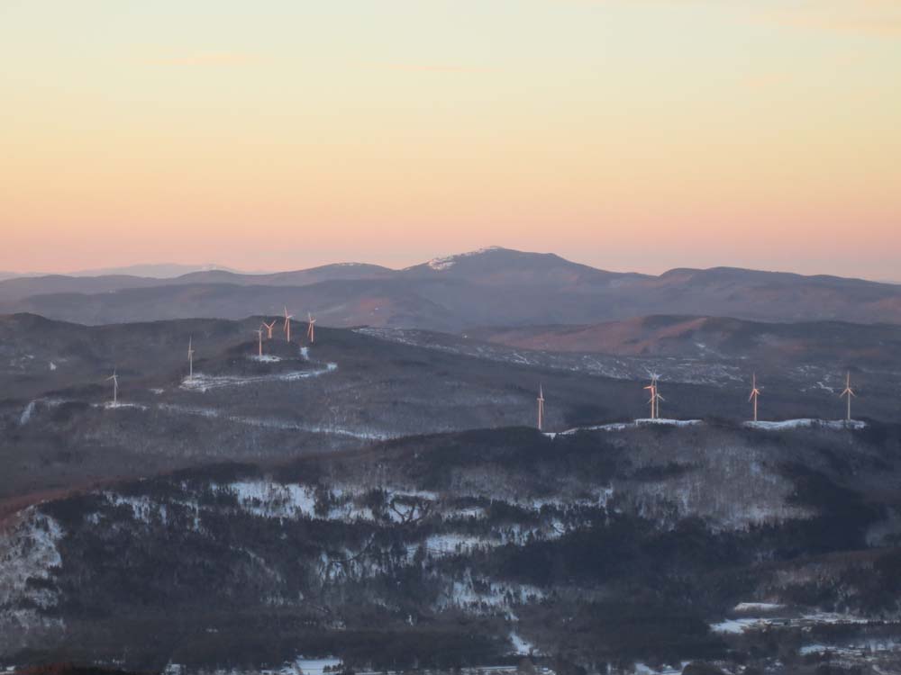
The Spanish Imposition at sunrise
Directions to trailhead: Take Route 25 to Rumney. Take Main Street (it will become Stinson Lake Road) north, then take a right onto Cross Road. When Cross Road intersects Doetown Road, take a right. The small parking area and trailhead will be a bit down this road on the left.
Back to Stinson Mountain Profile
|