Home
States
Colorado
Connecticut
Maine
Massachusetts
New Hampshire
New York
Rhode Island
Utah
Vermont
View All
Lists
NE 4,000 Footers
NE 100 Highest
NH 4,000 Footers
NH 100 Highest
NH 52 With A View
NH Belknap Range
NH Ossipee 10
Links
Trail Conditions
Trip Log
Sunrises
Sunsets
About
|
Sugarloaf
Stratford, NH
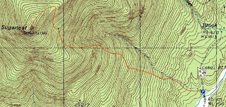
Trailheads, measurements, times, distances, and maps are all approximate and relative to the hike(s) as shown below.
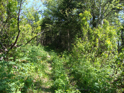
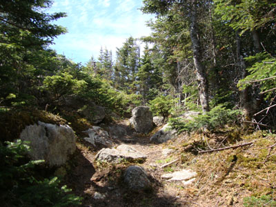
Looking up the Sugarloaf Mountain Trail
Route: Sugarloaf Mountain Trail
With the Quebec wildfires filling up the state with smoke, conditions weren't particularly great for hiking. Surprisingly, though in theory closer to Canada, the smoke wasn't quite as bad as in the Lakes Region. Nonetheless, we chose to take it easy on the ascent, as to minimize the effects of breathing in the smoke.
The Sugarloaf Mountain Trail trailhead was slightly tricky to find, but nonetheless fairly obvious - a wooden post with a "CT" trailmarker pointed up the grassy driveway to a cabin. In addition, there was a "Sugarloaf Mt. Trail" sign offset from the road slightly, also to the left of this driveway.
Continuing straight past the cabin and through a gate, we followed the snowmobile/old Jeep road of a trail uphill. Though never wicked steep, it was nonetheless a grind. While there weren't any view ledges along the way, there were nonetheless some views from the trail, as well as the old cabin clearing.
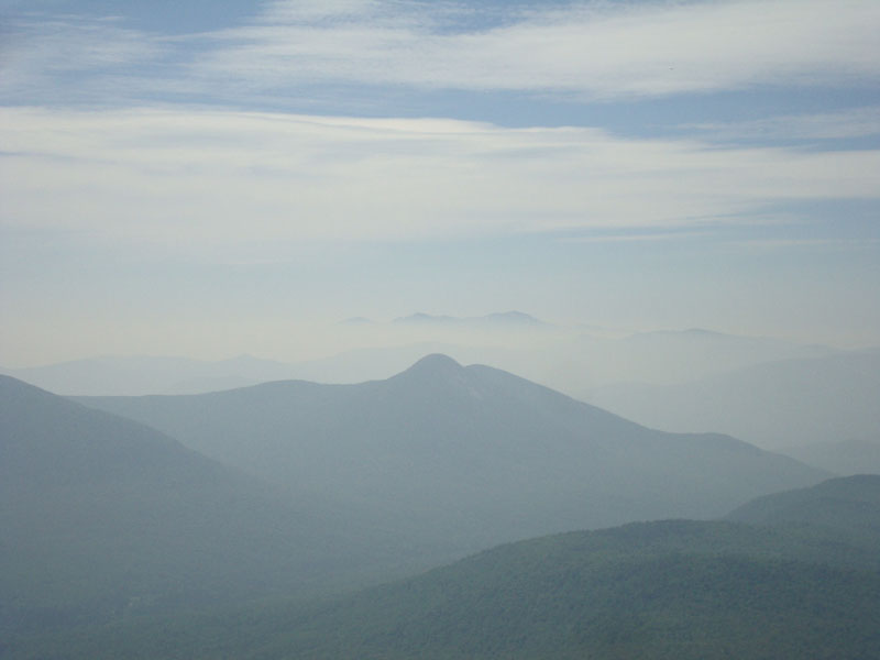
Reaching the ledgy summit, we had views in nearly all directions. Though very limited due to the smoke, the views were quite interesting - the Presidentials were standing over a smoke undercast.
After an extended stay on the summit, we headed back into the lower elevation smoke.
| Hike Ratings |
|
Getting To Trailhead: |
Easy |
| Destination: |
Sugarloaf |
|
Length: |
Moderate |
|
Steepness: |
Moderate |
|
Navigation: |
Easy |
|
Views: |
Excellent |
|
Crowds: |
Minimal |
|
| Hike Stats |
|
Date Hiked: |
Monday, May 31, 2010 |
| Hike Commenced: |
8:47 AM |
| Parking Elevation: |
1,530' |
| Destination: |
Sugarloaf |
| Ascent Commenced: |
8:47 AM |
| Summit Reached: |
10:09 AM |
| Time Elapsed: |
01:22 |
| Trailhead Elevation: |
1,530' |
| Summit Elevation: |
3,710' |
| Distance: |
2.1 miles |
| Vertical Gain: |
2,190' |
|
|
| Hike Ended: |
11:50 AM |
| Hike Time Elapsed: |
03:03 |
| Hike Distance: |
4.2 miles |
| Hike Vertical Gain: |
2,200' |
|
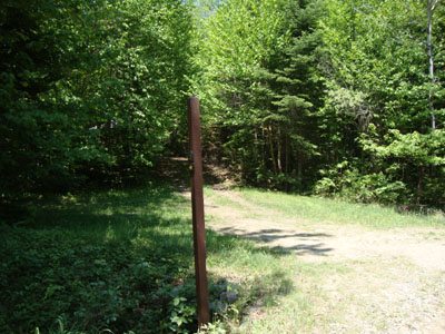
The Sugarloaf Mountain Trail trailhead
Looking up the Sugarloaf Mountain Trail
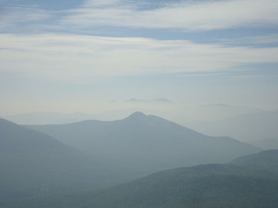
Looking at the Percy Peaks, as well as the Presidentials in a smoke undercast, from Sugarloaf


Back to Sugarloaf Profile
|