Home
States
Colorado
Connecticut
Maine
Massachusetts
New Hampshire
New York
Rhode Island
Utah
Vermont
View All
Lists
NE 4,000 Footers
NE 100 Highest
NH 4,000 Footers
NH 100 Highest
NH 52 With A View
NH Belknap Range
NH Ossipee 10
Links
Trail Conditions
Trip Log
Sunrises
Sunsets
About
|
Mt. Sunapee
Newbury, NH
Trailheads, measurements, times, distances, and maps are all approximate and relative to the hike(s) as shown below.
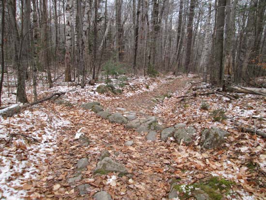
The Summit Trail
Route: Summit Trail, ski trails
Lower half of the trail was generally snow free with a dusting in the woods. Upper half of trail had some patchy black ice and blue ice, as well as a dusting of snow. I didn't put on my light traction, but some may want it. Ski area is not yet open, but they're making quite a lot of snow right now.
| Hike Ratings |
|
Getting To Trailhead: |
Easy |
| Destination: |
Mt. Sunapee |
|
Length: |
Moderate |
|
Steepness: |
Moderate |
|
Navigation: |
Easy |
|
Views: |
Excellent |
|
Crowds: |
Moderate |
|
| Hike Stats |
|
Date Hiked: |
Saturday, November 22, 2014 |
| Parking Elevation: |
1,260' |
| Destination: |
Mt. Sunapee |
| Time Elapsed: |
00:43 |
| Trailhead Elevation: |
1,320' |
| Summit Elevation: |
2,726' |
| Vertical Gain: |
1,506' |
|
|
| Hike Time Elapsed: |
01:44 |
| Hike Vertical Gain: |
1,566' |
|
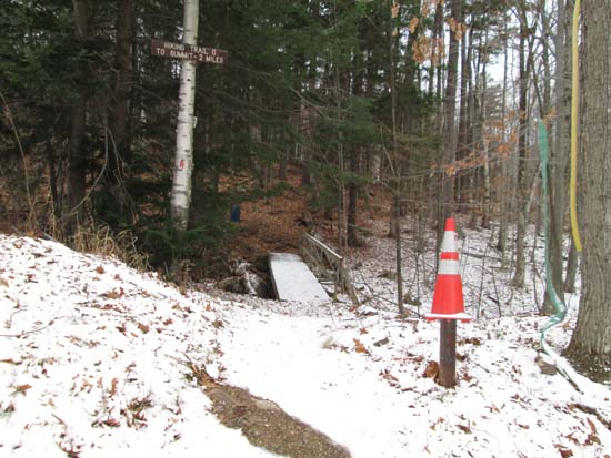
The Summit Trail trailhead off the Lower Ridge ski trail
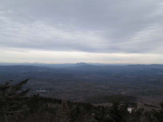
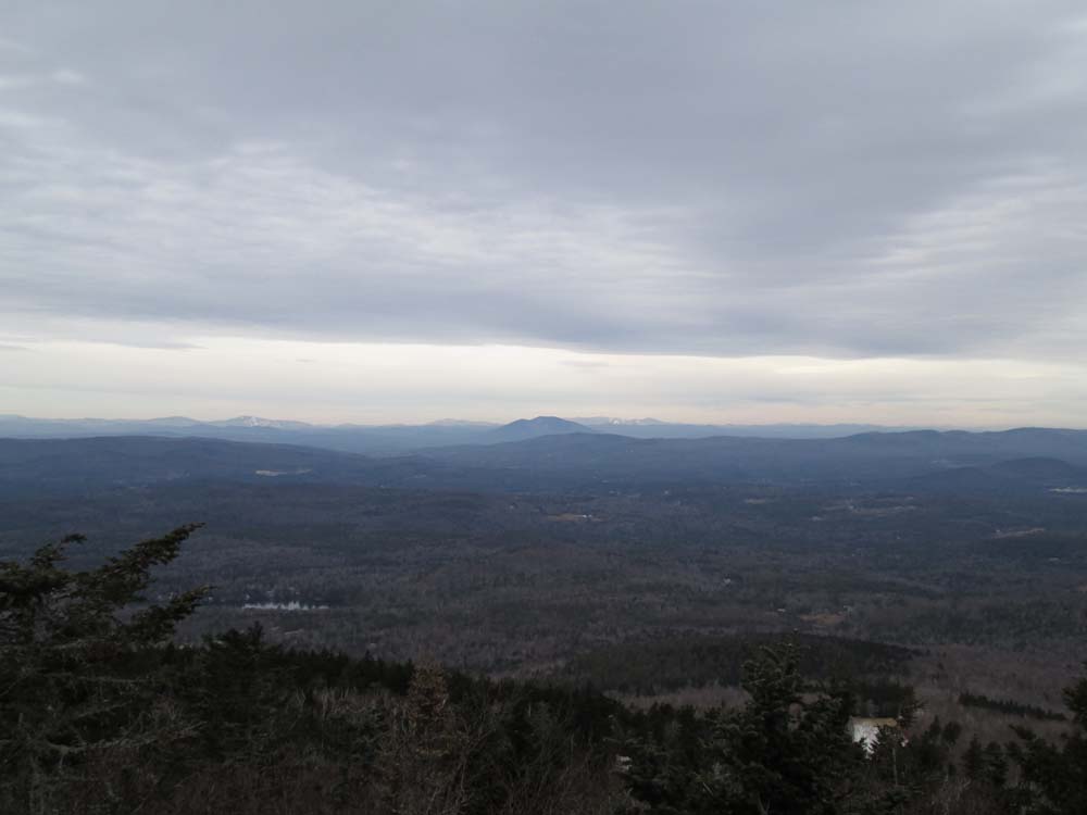
Okemo, Ascutney, and Killington as seen from Sunapee
Directions to trailhead: From the Mount Sunapee ski area parking lot, continue past the upper lodge and maintenance building, staying to the right of the summit lift. The Summit Trail trailhead will be on the right soon thereafter.
Back to Mt. Sunapee Profile
|