Home
States
Colorado
Connecticut
Maine
Massachusetts
New Hampshire
New York
Rhode Island
Utah
Vermont
View All
Lists
NE 4,000 Footers
NE 100 Highest
NH 4,000 Footers
NH 100 Highest
NH 52 With A View
NH Belknap Range
NH Ossipee 10
Links
Trail Conditions
Trip Log
Sunrises
Sunsets
About
|
Tenney Mountain
Groton, NH, Plymouth, NH
Trailheads, measurements, times, distances, and maps are all approximate and relative to the hike(s) as shown below.

Looking down the ski trails
Route: Ski trails, access road, (Tenney Mountain Northeast Peak), access road, bushwhack, ski trails
With a few hours of "light" remaining and the need to get more exercise, I headed down to Tenney Mountain. With the ski area closed, backcountry skiers had taken over the slopes. I followed a nicely packed snowshoe trail up the lower portion of the mountain, then broke out a route directly to the abandoned upper mountain area. Once again, I didn't quite get what I suspect would be good views from the near-summit vista near the tower. From the tower area, I bushwhacked into a small col, crossed some snowshoe tracks (wasn't expecting to see any out this far!), then climbed up two small, wooded bumps (the one further back seemed to be slightly higher) in fairly open woods (no views though).
For the descent, I followed snowshoe and snowmobile tracks back to the parking lot, arriving after dark.
| Hike Ratings |
|
Getting To Trailhead: |
Easy |
| Destination: |
Tenney Mountain |
|
Length: |
Moderate |
|
Steepness: |
Difficult |
|
Navigation: |
Difficult |
|
Views: |
Moderate (due to weather) |
|
Crowds: |
Moderate |
|
| Hike Stats |
|
Date Hiked: |
Sunday, February 27, 2011 |
| Parking Elevation: |
850' |
| Destination: |
Tenney Mountain |
| Time Elapsed: |
01:41 |
| Trailhead Elevation: |
860' |
| Summit Elevation: |
2,350' |
| Vertical Gain: |
1,520' |
|
|
| Hike Time Elapsed: |
02:26 |
| Hike Vertical Gain: |
1,560' |
|

The bottom of the ski trail to the right of the main lodge

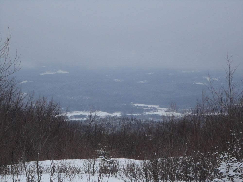
Slight views into the valley from the northeast peak of Tenney Mountain


Directions to trailhead: Take Route 25 West from Plymouth. At the rotary, take Route 3A South. The Tenney Mountain access road will eventually be on the right. Following the signs for the ski area, there is a parking lot at the top of the access road, adjacent to the main lodge.
Back to Tenney Mountain Profile
|