Home
States
Colorado
Connecticut
Maine
Massachusetts
New Hampshire
New York
Rhode Island
Utah
Vermont
View All
Lists
NE 4,000 Footers
NE 100 Highest
NH 4,000 Footers
NH 100 Highest
NH 52 With A View
NH Belknap Range
NH Ossipee 10
Links
Trail Conditions
Trip Log
Sunrises
Sunsets
About
|
The Horn, The Bulge, Mt. Cabot
Berlin, NH, Kilkenny, NH
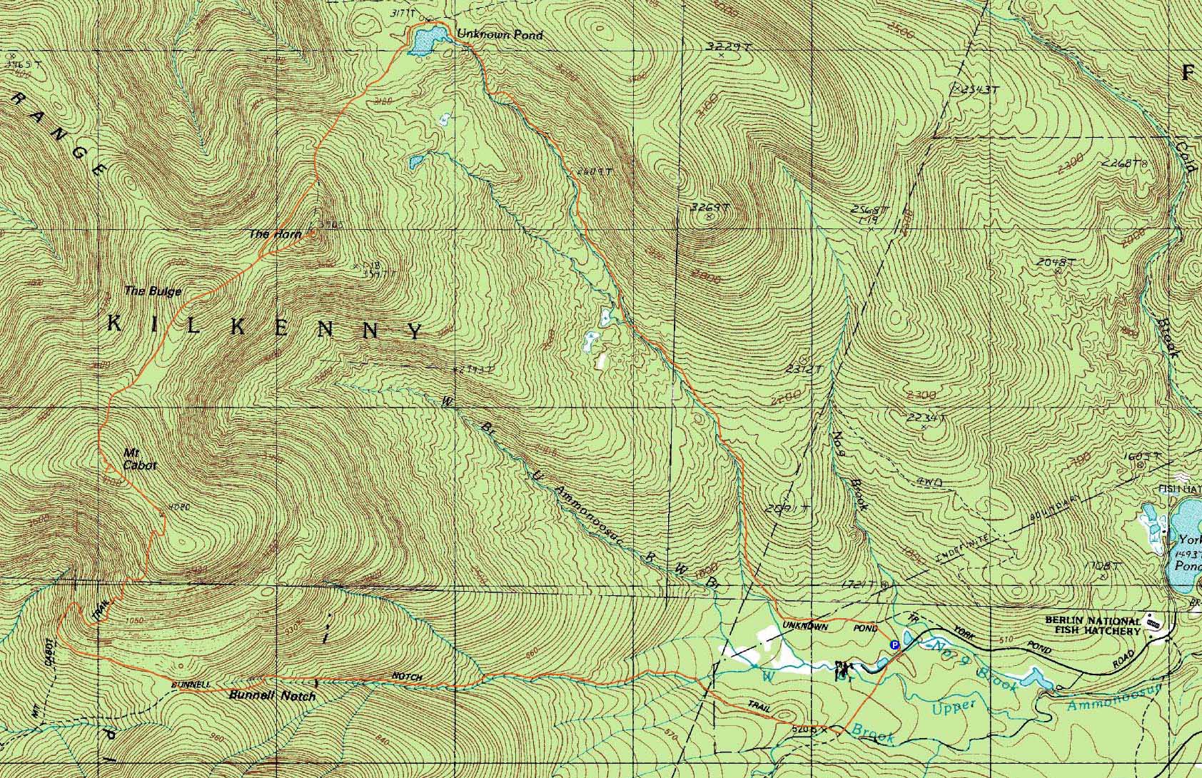
Trailheads, measurements, times, distances, and maps are all approximate and relative to the hike(s) as shown below.
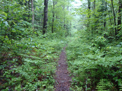
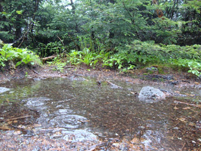
Looking up the Unknown Pond Trail
Route: Unknown Pond Trail, Kilkenny Ridge Trail, The Horn spur trail, (The Horn), The Horn spur trail, Kilkenny Ridge Trail, (The Bulge), Kilkenny Ridge Trail, (Mt. Cabot), Kilkenny Ridge Trail, Bunnell Notch Trail, York Pond Trail
Three days prior, the some of the area weather forecasts were calling for a partly sunny day with a slight chance of showers. The night prior, the forecasts showed minimal rain during the morning, followed by moderate rain in the late afternoon. The morning of, however, the forecast shifted to moderate rain all day long.
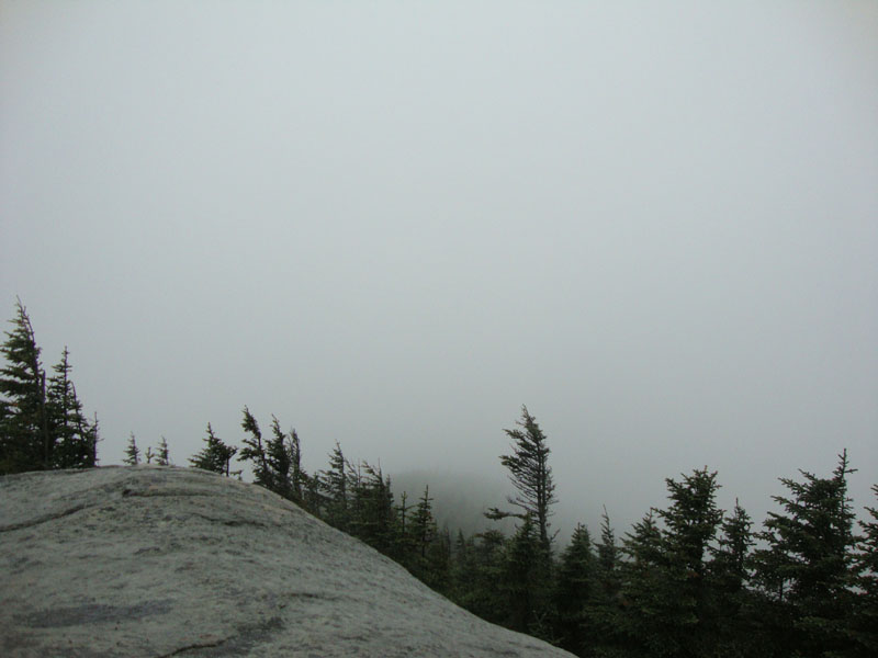
Starting in the rain at the Unknown Pond Trail trailhead, we made the steady but mild climb to Unknown Pond. Since the rain had only started recently, the trail was in generally decent shape. Passing the socked in pond, we eventually made our way up to the Horn, taking care while scrambling up the rocky ledges near the summit.
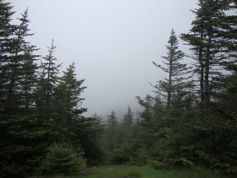
After enjoying no views, we headed back to the Kilkenny Ridge Trail and up to the Bulge. Since there aren't any views to speak of on trail here anyway, we didn't miss much.
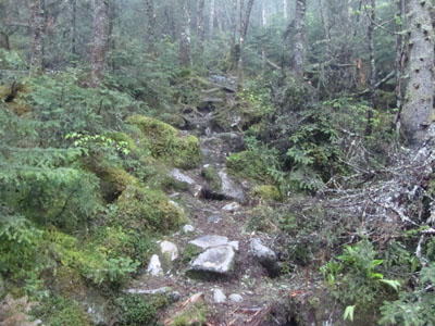
After the somewhat steep climb to Cabot, we quickly retreated to the cabin, passing by the socked in old-firetower-vista. After regrouping in the cabin a bit, we headed back out into the rain and descended to the Bunnell Notch Trail. Portions of the descent were basically like walking in a brook bed.
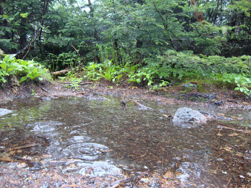
The final portion of the hike out, along the logging roads, was rather sloppy. The largest water crossing was running high, resulting in submerged stepping stones. In addition, significant portions of the roadbed were either flooded with a few inches of water or else covered in mud.
We ended up making it back to the parking lot around the advertised access road gate closing. While the gate was closed as we went to leave, we were able to let ourselves out without any issues.
| Hike Ratings |
|
Getting To Trailhead: |
Easy |
| Destination: |
The Horn |
|
Length: |
Moderate |
|
Steepness: |
Very Difficult |
|
Navigation: |
Easy |
|
Views: |
Minimal (due to weather) |
|
Crowds: |
Minimal |
| Destination: |
The Bulge |
|
Length: |
Moderate |
|
Steepness: |
Very Difficult |
|
Navigation: |
Easy |
|
Views: |
Minimal |
|
Crowds: |
Minimal |
| Destination: |
Mt. Cabot |
|
Length: |
Difficult |
|
Steepness: |
Difficult |
|
Navigation: |
Easy |
|
Views: |
Minimal (due to weather) |
|
Crowds: |
Minimal |
|
| Hike Stats |
|
Date Hiked: |
Sunday, June 6, 2010 |
| Hike Commenced: |
8:37 AM |
| Parking Elevation: |
1,680' |
| Destination: |
The Horn |
| Ascent Commenced: |
8:37 AM |
| Summit Reached: |
11:37 AM |
| Time Elapsed: |
03:00 |
| Trailhead Elevation: |
1,680' |
| Summit Elevation: |
3,905' |
| Distance: |
4.9 miles |
| Vertical Gain: |
2,530' |
| Destination: |
The Bulge |
| Ascent Commenced: |
11:45 AM |
| Summit Reached: |
12:11 PM |
| Time Elapsed: |
00:26 |
| Trailhead Elevation: |
3,905' |
| Summit Elevation: |
3,950' |
| Vertical Gain: |
305' |
| Destination: |
Mt. Cabot |
| Ascent Commenced: |
12:14 PM |
| Summit Reached: |
12:49 PM |
| Time Elapsed: |
00:35 |
| Trailhead Elevation: |
3,950' |
| Summit Elevation: |
4,170' |
| Vertical Gain: |
485' |
|
|
| Hike Ended: |
3:48 PM |
| Hike Time Elapsed: |
07:11 |
| Hike Vertical Gain: |
3,635' |
|
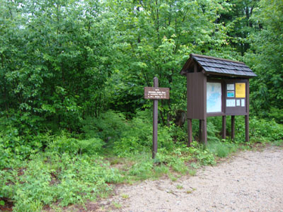
The Unknown Pond Trail trailhead near York Pond Road
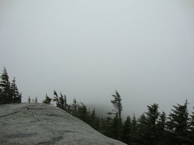
Rain on the Horn
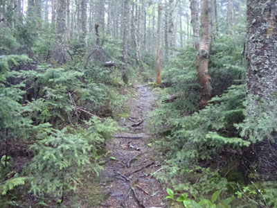
The Kilkenny Ridge Trail on the way to the Bulge
Rain on the Bulge
The Kilkenny Ridge Trail to Mt. Cabot
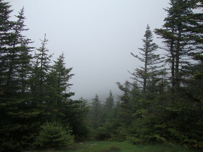
Rain from the Mt. Cabot former firetower location
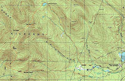

Directions to trailhead: Take Route 16 to Berlin, then take Route 110 northwest. York Pond Road will eventually be on the left. Continue through the Fish Hatchery (do be aware that the gates are only open during the day, usually 8 AM - 4 PM). The driveway to the Unknown Pond Trail parking area will eventually be on the right. The trailhead is next to the kiosk.
Back to The Horn Profile
Back to The Bulge Profile
Back to Mt. Cabot Profile
|