Home
States
Colorado
Connecticut
Maine
Massachusetts
New Hampshire
New York
Rhode Island
Utah
Vermont
View All
Lists
NE 4,000 Footers
NE 100 Highest
NH 4,000 Footers
NH 100 Highest
NH 52 With A View
NH Belknap Range
NH Ossipee 10
Links
Trail Conditions
Trip Log
Sunrises
Sunsets
About
|
Tumble Dick Mountain, Sugar Hill
Stewartstown, NH, Dixville, NH
Trailheads, measurements, times, distances, and maps are all approximate and relative to the hike(s) as shown below.

The snowmobile trail toward the col
Route: Cohos Trail, snowmobile trail, bushwhack
From the plowed boat launch, we followed the Cohos Trail, which soon entered onto a snowmobile corridor.
We followed the corridor to just before the height of land, then bushwhacked in decent woods to the wooded, flat summit of Tumble Dick Mountain.
We then backtracked to the corridor and followed it to the Sugar Hill height of land, leaving it in a somewhat open area and soon finding the recognized hightpoint.
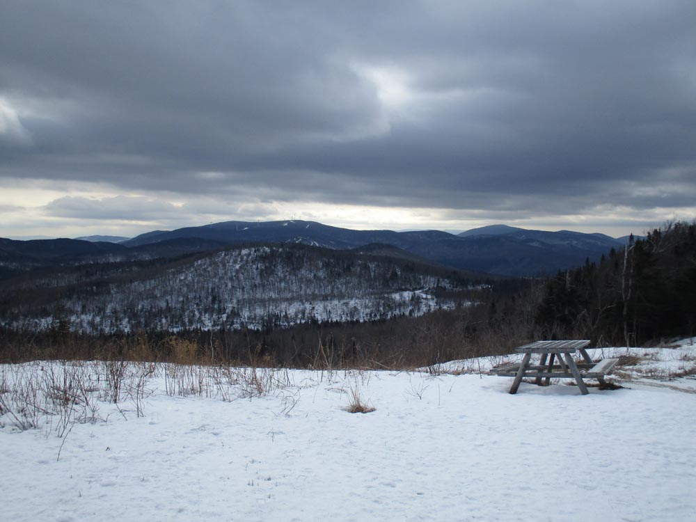
We then returned to the corridor and continued downhill a bit to a very nice view toward Dixville Peak, before retracing our steps.
| Hike Ratings |
|
Getting To Trailhead: |
Moderate |
| Destination: |
Tumble Dick Mountain |
|
Length: |
Moderate |
|
Steepness: |
Easy |
|
Navigation: |
Difficult |
|
Views: |
Minimal |
|
Crowds: |
Minimal |
| Destination: |
Sugar Hill |
|
Length: |
Moderate |
|
Steepness: |
Easy |
|
Navigation: |
Moderate |
|
Views: |
Excellent |
|
Crowds: |
Minimal |
|
| Hike Stats |
|
Date Hiked: |
Saturday, February 6, 2016 |
| Parking Elevation: |
2,260' |
| Destination: |
Tumble Dick Mountain |
| Time Elapsed: |
00:53 |
| Trailhead Elevation: |
2,260' |
| Summit Elevation: |
2,907' |
| Vertical Gain: |
707' |
| Destination: |
Sugar Hill |
| Time Elapsed: |
00:28 |
| Trailhead Elevation: |
2,907' |
| Summit Elevation: |
2,985' |
| Vertical Gain: |
285' |
|
|
| Hike Time Elapsed: |
02:53 |
| Hike Vertical Gain: |
1,102' |
|

Departing from the Little Diamond Pond parking area

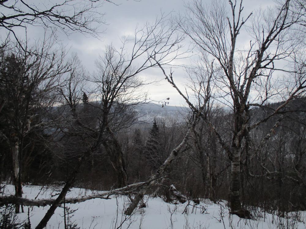
Slight views below the summit of Tumble Dick Mountain

The snowmobile trail to Sugar Hill

Looking south at Dixville Peak from the southwest Sugar Hill viewpoint


Directions to trailhead: Route 26 East from Colebrook, then Diamond Pond Road. Parking available at boat launch (plowed in winter) on southwest shore of Little Diamond Pond.
Back to Tumble Dick Mountain Profile
Back to Sugar Hill Profile
|