Home
States
Colorado
Connecticut
Maine
Massachusetts
New Hampshire
New York
Rhode Island
Utah
Vermont
View All
Lists
NE 4,000 Footers
NE 100 Highest
NH 4,000 Footers
NH 100 Highest
NH 52 With A View
NH Belknap Range
NH Ossipee 10
Links
Trail Conditions
Trip Log
Sunrises
Sunsets
About
|
Tumbledown Dick Mountain
Brookfield, NH
Trailheads, measurements, times, distances, and maps are all approximate and relative to the hike(s) as shown below.

The road to the summit
Route: Woods roads
From the T junction on Pleasant Valley Road, I went right (left is gated) and descended, then climbed to the height of land, where I took a left onto the road that ascends to the summit ledge. The roads were rocky, but otherwise dry.
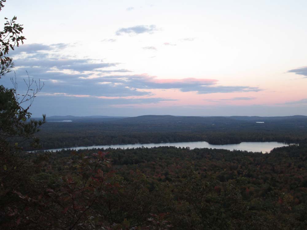
Nice views southeast, south, and southwest from the ledges, looking at the Moose Mountains, Copple Crown, and the Belknaps. Nice foliage on the Moose Mountains and Copple Crown.
| Hike Ratings |
|
Getting To Trailhead: |
Easy |
| Destination: |
Tumbledown Dick Mountain |
|
Length: |
Easy |
|
Steepness: |
Easy |
|
Navigation: |
Easy |
|
Views: |
Excellent |
|
Crowds: |
Minimal |
|
| Hike Stats |
|
Date Hiked: |
Thursday, October 9, 2014 |
| Parking Elevation: |
990' |
| Destination: |
Tumbledown Dick Mountain |
| Time Elapsed: |
00:09 |
| Trailhead Elevation: |
990' |
| Summit Elevation: |
1,147' |
| Distance: |
0.7 miles |
| Vertical Gain: |
217' |
|
|
| Hike Time Elapsed: |
00:32 |
| Hike Vertical Gain: |
277' |
|

The road heading south from Pleasant Valley Road

Looking east at Kingswood Lake from Tumbledown Dick Mountain

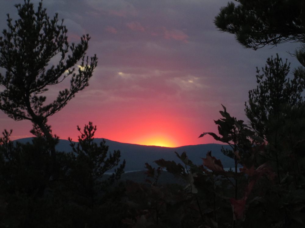
The sunset as seen from Tumbledown Dick Mountain


Directions to trailhead: From Route 28 in Wolfboro near Kingswood High School, take Pleasant Valley Road. Eventually at the top of the hill, continue past the final house to a T intersection, where there may room to park. Continue on foot on the road downhill to the right.
Back to Tumbledown Dick Mountain Profile
|