Home
States
Colorado
Connecticut
Maine
Massachusetts
New Hampshire
New York
Rhode Island
Utah
Vermont
View All
Lists
NE 4,000 Footers
NE 100 Highest
NH 4,000 Footers
NH 100 Highest
NH 52 With A View
NH Belknap Range
NH Ossipee 10
Links
Trail Conditions
Trip Log
Sunrises
Sunsets
About
|
West Royce Mountain
Beans Purchase, NH
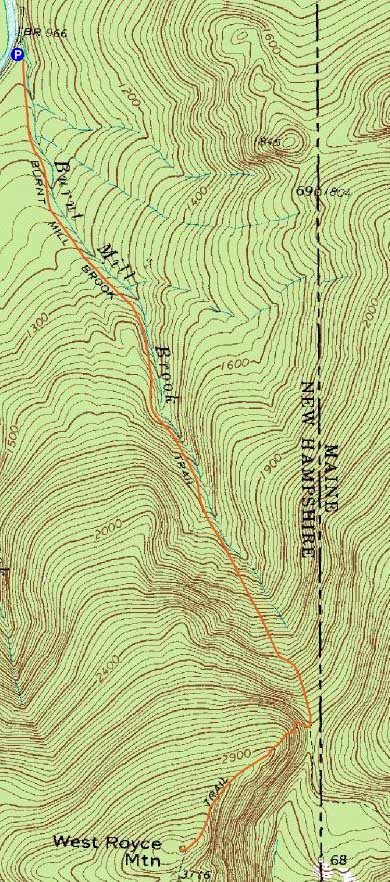
Trailheads, measurements, times, distances, and maps are all approximate and relative to the hike(s) as shown below.
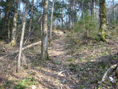
Looking up the Burnt Mill Brook Trail
Route: Burnt Mill Brook Trail, Royce Trail, (West Royce Mountain), Royce Trail, Burnt Mill Brook Trail
Needing to get out and enjoy the nice weather despite a bum knee, I decided to take a potentially tame trek up to West Royce Mountain from the Wild River valley.
The first part of the Burnt Mill Brook Trail was pretty tame before eventually steepening up a bit as it reached the height of land. Though perhaps not quite as scenic, it nonetheless reminded me of the Bee Line Trail to Mt. Chocorua. Oddly, my knee was sore on the ascent (usually it's the reverse).
The Royce Trail started with some rough, slippery, and steep sections. Later on, the trail became surrounded in a beautiful carpet of moss.
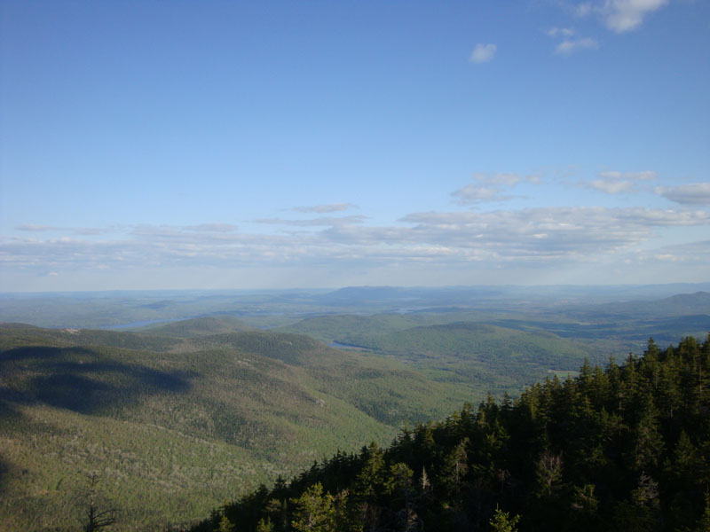
Reaching West Royce Mountain, I followed a herd path to the remains of the old firetower. Other than footings, some wire, and other assorted pieces, there wasn't much to see. Back on the Royce Trail, I backtracked a bit and explored some nice view ledges, with vistas ranging from Kearsarge North Mountain to East Royce Mountain.
I couldn't help but notice some fresh moose tracks on my way back down the Burnt Mill Brook Trail - must have missed him/her by only a few minutes!
| Hike Ratings |
|
Getting To Trailhead: |
Easy |
| Destination: |
West Royce Mountain |
|
Length: |
Moderate |
|
Steepness: |
Difficult |
|
Navigation: |
Easy |
|
Views: |
Excellent |
|
Crowds: |
Minimal |
|
| Hike Stats |
|
Date Hiked: |
Monday, May 11, 2009 |
| Hike Commenced: |
4:22 PM |
| Parking Elevation: |
975' |
| Destination: |
West Royce Mountain |
| Ascent Commenced: |
4:22 PM |
| Summit Reached: |
5:46 PM |
| Time Elapsed: |
01:24 |
| Trailhead Elevation: |
975' |
| Summit Elevation: |
3,210' |
| Distance: |
2.7 miles |
| Vertical Gain: |
2,315' |
|
|
| Hike Ended: |
7:27 PM |
| Hike Time Elapsed: |
03:05 |
| Hike Vertical Gain: |
2,395' |
|
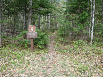
The Burnt Mill Brook Trail trailhead
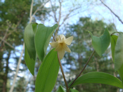
Bellwort as seen along the Burnt Mill Brook Trail
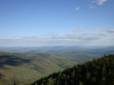
Looking southeast from near the summit of West Royce Mountain
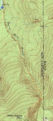

Directions to trailhead: From Route 113 in Evans Notch, take Wild River Road. The Burnt Mill Brook Trail trailhead and parking area will be a few minutes up this road, on the left, shortly after crossing a one lane bridge.
Back to West Royce Mountain Profile
|