Home
States
Colorado
Connecticut
Maine
Massachusetts
New Hampshire
New York
Rhode Island
Utah
Vermont
View All
Lists
NE 4,000 Footers
NE 100 Highest
NH 4,000 Footers
NH 100 Highest
NH 52 With A View
NH Belknap Range
NH Ossipee 10
Links
Trail Conditions
Trip Log
Sunrises
Sunsets
About
|
Whiteface Mountain
Gilford, NH
Trailheads, measurements, times, distances, and maps are all approximate and relative to the hike(s) as shown below.

Looking up the jeep road
Route: Jeep roads, Whiteface Trail, (Whiteface Mountain), Whiteface Trail, Piper Whiteface Trail
Tried the jeep road approach to mix things up and see if it was a time saver. Kind of nasty looking due to all of the mud/water pits. Not really a time or vertical saver. Opted for the trailed route on the way back. In essence, I walked past the Piper-Whiteface Trail trailhead on Belknap Mountain Road and then beared right onto the unmaintained jeep road portion. This dipped a little bit, then gradually climbed to a height of land. Just prior to reaching the height of land, I took a left onto another jeep road, which, after dropping to a somewhat flooded area, climbed up to the Whiteface Mountain Trail jeep road junction.
Mud was generally all frozen. Pooled water on the jeep road, as well as along the ridge in the normal places, with a thin crust of ice on top. No issues avoiding.
New signage at a few junctions.
| Hike Ratings |
|
Getting To Trailhead: |
Easy |
| Destination: |
Whiteface Mountain |
|
Length: |
Moderate |
|
Steepness: |
Moderate |
|
Navigation: |
Moderate |
|
Views: |
Excellent |
|
Crowds: |
Minimal |
|
| Hike Stats |
|
Date Hiked: |
Thursday, December 13, 2012 |
| Parking Elevation: |
1,050' |
| Destination: |
Whiteface Mountain |
| Time Elapsed: |
00:24 |
| Trailhead Elevation: |
1,060' |
| Summit Elevation: |
1,664' |
| Vertical Gain: |
739' |
|
|
| Hike Time Elapsed: |
01:08 |
| Hike Vertical Gain: |
794' |
|

The start of the unmaintained road at the end of Belknap Mountain Road

Looking southwest from Whiteface Mountain

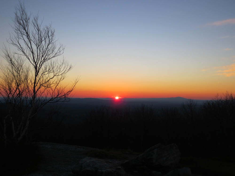
The sunset as seen from Whiteface Mountain
Directions to trailhead: From Route 11A East (from Route 3), take a right on Hoyt Road. Continue down this road as it becomes Belknap Mountain Road. At the end of this road, take a left. There will eventually be a turnaround area with a private road sign. Park here, and continue up the road on foot. The Piper Whiteface Trail trailhead will be on the left side of the road. The jeep road is just past this trailhead, on the right.
Back to Whiteface Mountain Profile
|