Home
States
Colorado
Connecticut
Maine
Massachusetts
New Hampshire
New York
Rhode Island
Utah
Vermont
View All
Lists
NE 4,000 Footers
NE 100 Highest
NH 4,000 Footers
NH 100 Highest
NH 52 With A View
NH Belknap Range
NH Ossipee 10
Links
Trail Conditions
Trip Log
Sunrises
Sunsets
About
|
Mt. Mansfield - The Chin, Mt. Mansfield - The Nose
Stowe, VT, Underhill, VT
Trailheads, measurements, times, distances, and maps are all approximate and relative to the hike(s) as shown below.
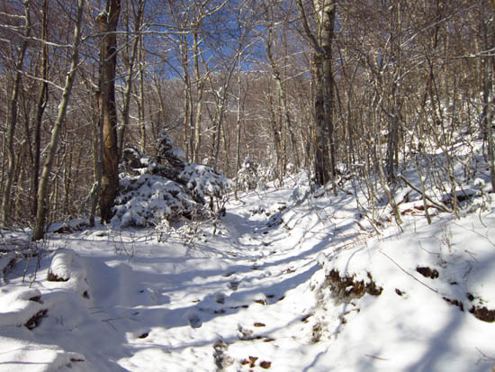
Looking up the Long Trail
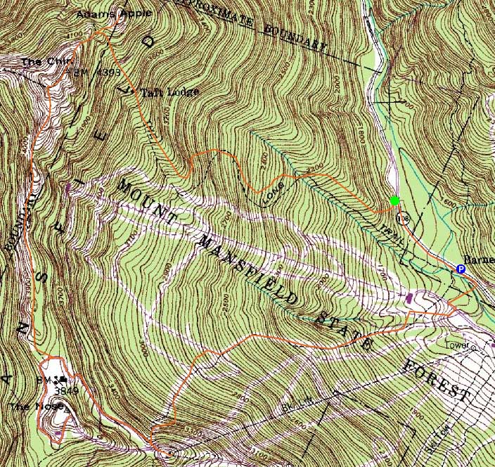
Route: Route 108, Long Trail, Adams Apple Trail, (Adams Apple), Adams Apple Trail, Long Trail, (The Chin), Long Trail, auto road, unknown trail, (The Nose), unknown trail, auto road, ski trails
Tricky conditions due to 1-2" of powder on top of blue ice. Ascent to The Chin from Eagle Pass was particularly tough due to the ice.
| Hike Ratings |
|
Getting To Trailhead: |
Easy |
| Destination: |
Mt. Mansfield - Adams Apple |
|
Length: |
Moderate |
|
Steepness: |
Difficult |
|
Navigation: |
Easy |
|
Views: |
Excellent |
|
Crowds: |
Minimal |
| Destination: |
Mt. Mansfield - The Chin |
|
Length: |
Moderate |
|
Steepness: |
Very Difficult |
|
Navigation: |
Moderate |
|
Views: |
Excellent |
|
Crowds: |
Moderate |
| Destination: |
Mt. Mansfield - The Nose |
|
Length: |
Moderate |
|
Steepness: |
Difficult |
|
Navigation: |
Difficult |
|
Views: |
Excellent |
|
Crowds: |
Moderate |
|
| Hike Stats |
|
Date Hiked: |
Saturday, December 3, 2011 |
| Parking Elevation: |
1,540' |
| Time to Trailhead: |
00:07 |
| Destination: |
Mt. Mansfield - Adams Apple |
| Time Elapsed: |
01:35 |
| Trailhead Elevation: |
1,620' |
| Summit Elevation: |
4,393' |
| Vertical Gain: |
2,525' |
| Destination: |
Mt. Mansfield - The Chin |
| Time Elapsed: |
00:24 |
| Trailhead Elevation: |
1,620' |
| Summit Elevation: |
4,393' |
| Vertical Gain: |
353' |
| Destination: |
Mt. Mansfield - The Nose |
| Time Elapsed: |
01:08 |
| Trailhead Elevation: |
4,393' |
| Summit Elevation: |
4,060' |
| Vertical Gain: |
410' |
|
|
| Hike Time Elapsed: |
04:57 |
| Hike Vertical Gain: |
3,348' |
|
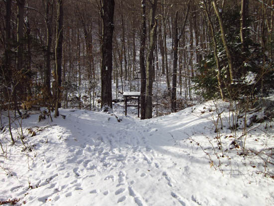
The Long Trail trailhead off Route 108
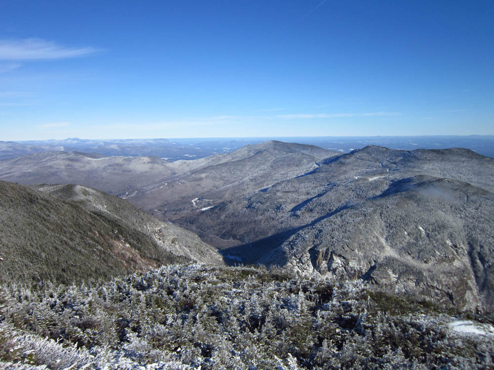
Looking toward Smugglers Notch from Adams Apple
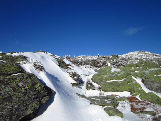
Looking the Long Trail above Eagle Pass
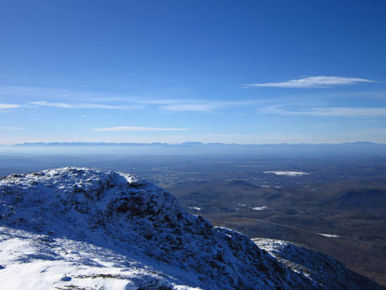
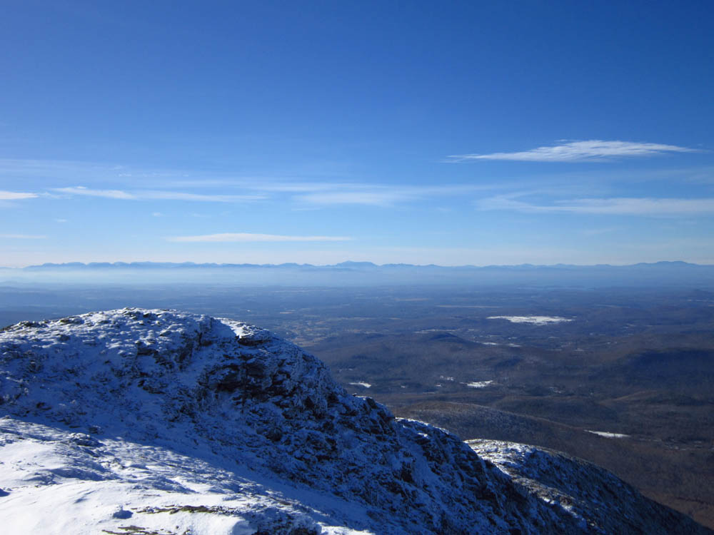
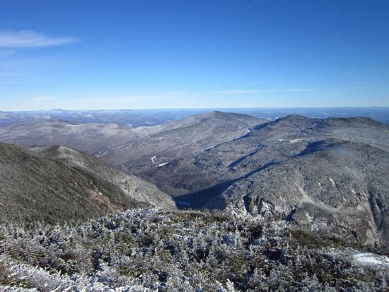
Looking at the Adirondacks from near the Mt. Mansfield summit
The Long Trail on the way to the Nose
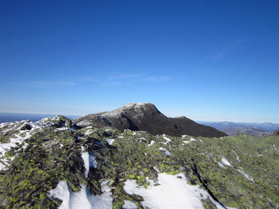
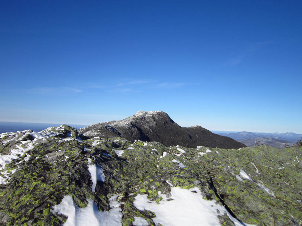
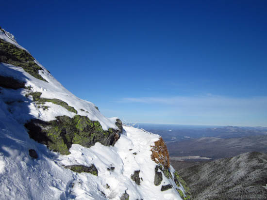
Mt. Mansfield as seen from the Nose
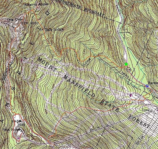

Directions to trailhead: Take Route 108 North from Stowe. In winter, the road is gated just past the ski area gondola parking lot entrance. There is plowed parking just past that entrance, on the right. The Long Trail will eventually be on the left.
Back to Mt. Mansfield - Adams Apple Profile
Back to Mt. Mansfield - The Chin Profile
Back to Mt. Mansfield - The Nose Profile
|