Home
States
Colorado
Connecticut
Maine
Massachusetts
New Hampshire
New York
Rhode Island
Utah
Vermont
View All
Lists
NE 4,000 Footers
NE 100 Highest
NH 4,000 Footers
NH 100 Highest
NH 52 With A View
NH Belknap Range
NH Ossipee 10
Links
Trail Conditions
Trip Log
Sunrises
Sunsets
About
|
Camel's Hump
Duxbury, VT, Huntington, VT
Trailheads, measurements, times, distances, and maps are all approximate and relative to the hike(s) as shown below.

Looking down the Long Trail near the Camel's Hump summit
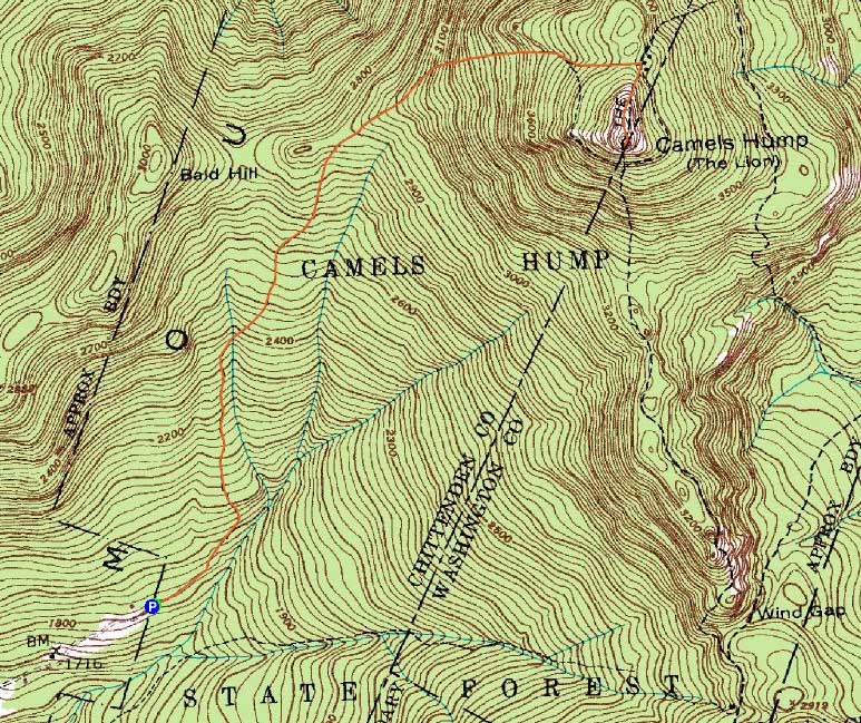
Route: Burrows Trail, Long Trail, (Camel's Hump), Long Trail, Burrows Trail
After hiking Mt. Mansfield, I felt like I still had enough time and energy to give Camel's Hump a try. Though I ended up arriving at the parking lot later than expected due to snow removal work on the access road, I still had enough daylight to give it a go.
The Burrows Trail was well packed and in good shape for snowshoeing. Never getting overly steep, it was a relatively easy climb as compared to most other New England 4,000 footers. Reaching the old shelter clearing, I added some additional layers and made my way up above treeline.
Though still cloudy (despite the partly sunny forecasts beaming out from Vermont Public Radio all day), the views were nonetheless decent. The winds, however, were cold and strong, so I didn't linger for long.
The descent went fairly smoothly and I found myself back at the trailhead well before dark.
| Hike Ratings |
|
Getting To Trailhead: |
Easy |
| Destination: |
Camel's Hump |
|
Length: |
Moderate |
|
Steepness: |
Moderate |
|
Navigation: |
Easy |
|
Views: |
Excellent |
|
Crowds: |
Minimal |
|
| Hike Stats |
|
Date Hiked: |
Wednesday, February 16, 2011 |
| Hike Commenced: |
2:48 PM |
| Parking Elevation: |
1,800' |
| Destination: |
Camel's Hump |
| Ascent Commenced: |
2:48 PM |
| Summit Reached: |
4:05 PM |
| Time Elapsed: |
01:17 |
| Trailhead Elevation: |
1,800' |
| Summit Elevation: |
4,083' |
| Distance: |
2.4 miles |
| Vertical Gain: |
2,333' |
|
|
| Hike Ended: |
5:02 PM |
| Hike Time Elapsed: |
02:14 |
| Hike Distance: |
4.8 miles |
| Hike Vertical Gain: |
2,363' |
|

The Burrows Trail trailhead

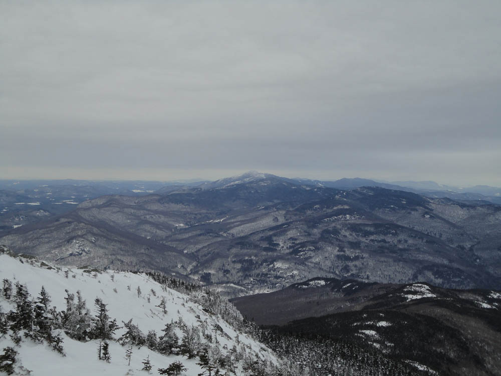
Looking at Mt. Mansfield from near the Camel's Hump summit


Directions to trailhead: From US 2 in Richmond, take Bridge Street south over the river, then take a right onto Huntington Road (eventually becoming Main Road). Continue through Huntington Village, eventually reaching Huntington Center. Take a left onto Camel's Hump Road. Continue on Camel's Hump Road to its end, where there is a dirt parking lot. The Burrows Trail starts at the back of the parking lot.
Back to Camel's Hump Profile
|