Home
States
Colorado
Connecticut
Maine
Massachusetts
New Hampshire
New York
Rhode Island
Utah
Vermont
View All
Lists
NE 4,000 Footers
NE 100 Highest
NH 4,000 Footers
NH 100 Highest
NH 52 With A View
NH Belknap Range
NH Ossipee 10
Links
Trail Conditions
Trip Log
Sunrises
Sunsets
About
|
Glebe Mountain
Londonderry, VT
Trailheads, measurements, times, distances, and maps are all approximate and relative to the hike(s) as shown below.
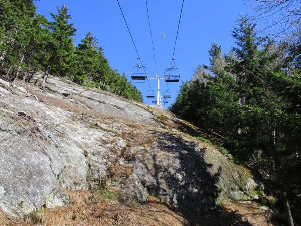
Looking up the steep lift line
Route: Ski trails, access road
Bee lined up the Black Chair lift line (the chairlift on the right when looking up the mountain). Some soggy areas and a few easily avoided patches of snow down low. Lift line gets fairly rugged higher up with some ledge scrambles. From the top of that lift, head just a few dozen feet to the west, then you'll pick up the tower access road that leads to the high point. Did not find a recognized high point, but pretty sure it's a tree just above the second communications tower. No views up here, but some very nice views if you walk down toward the Red Chair (up to Killington, over to Ascutney).
Descended the work road, which winds its way up the upper east side ski trails. Very rough walking, as it's large stone. Much better walking on the ski trails, especially right now with the grass still very short.
| Hike Ratings |
|
Getting To Trailhead: |
Easy |
| Destination: |
Burke Mountain |
|
Length: |
Moderate |
|
Steepness: |
Very Difficult |
|
Navigation: |
Moderate |
|
Views: |
Excellent |
|
Crowds: |
Minimal |
|
| Hike Stats |
|
Date Hiked: |
Sunday, May 13, 2018 |
| Parking Elevation: |
1,330' |
| Destination: |
Glebe Mountain |
| Time Elapsed: |
00:45 |
| Trailhead Elevation: |
1,389' |
| Summit Elevation: |
2,940' |
| Vertical Gain: |
1,576' |
|
|
| Hike Time Elapsed: |
01:58 |
| Hike Vertical Gain: |
1,730' |
|
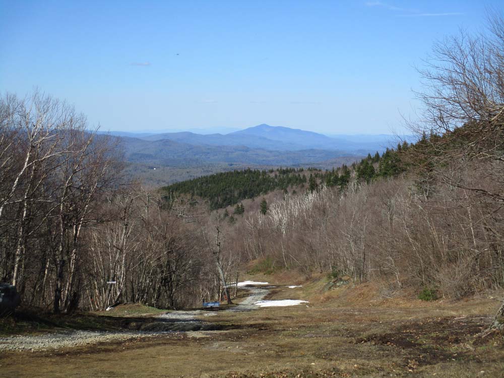
Looking up the ski area

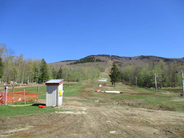
Looking northeast at Mt. Ascutney from near the top of the red chairlift
Directions to trailhead: Take Route 11 to Magic Mountain entrance; parking lots near the base lodge of the ski area.
Back to Glebe Mountain Profile
|