Home
States
Colorado
Connecticut
Maine
Massachusetts
New Hampshire
New York
Rhode Island
Utah
Vermont
View All
Lists
NE 4,000 Footers
NE 100 Highest
NH 4,000 Footers
NH 100 Highest
NH 52 With A View
NH Belknap Range
NH Ossipee 10
Links
Trail Conditions
Trip Log
Sunrises
Sunsets
About
|
Mt. Snow
Somerset, VT and Dover, VT
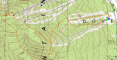
Trailheads, measurements, times, distances, and maps are all approximate and relative to the hike(s) as shown below.
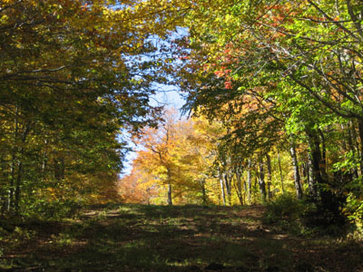
Upper Iron Run trail
Mt. Snow is a somewhat peaceful hike when ascended via Carinthia and Sunbrook. As one nears the main mountain, the presence of mountain bikers is known. Though the ski area isn't considered steep, hiking up intermediate ski trails is certainly a workout, especially in lower Carinthia on the beginning of Nitro.
I took Nitro to Upper Iron Run to Long John to Nugget to Milky Way to Thanks, Walt to Cloud Nine - talk about ski area trail count inflation!
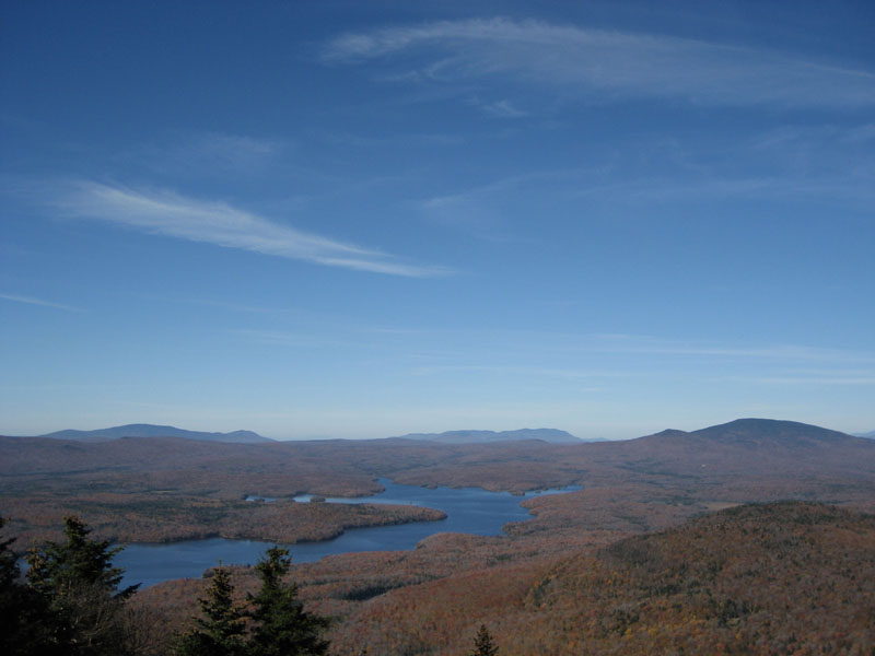
Despite the trails being pretty much empty in terms of hikers, the summit was packed due to a seasonal scenic chairlift ride. One could easily see Mt. Monadnock, Wachusett, Mt. Greylock, and points to the north.
| Hike Ratings |
|
Getting To Trailhead: |
Easy |
| Destination: |
Mt. Snow |
|
Length: |
Moderate |
|
Steepness: |
Difficult |
|
Navigation: |
Easy |
|
Views: |
Excellent |
|
Crowds: |
Heavy |
|
| Hike Stats |
|
Date Hiked: |
Sunday, October 8, 2006 |
| Hike Commenced: |
12:05 PM |
| Parking Elevation: |
1,960' |
| Destination: |
Mt. Snow |
| Ascent Commenced: |
12:06 PM at Nitro trailhead |
| Summit Reached: |
1:33 PM |
| Trailhead Elevation: |
1,965' |
| Summit Elevation: |
3,556' |
| Vertical Gain: |
1,874' |
| Hike Ended: |
2:56 PM |
| Hike Vertical Gain: |
2,079' |
|
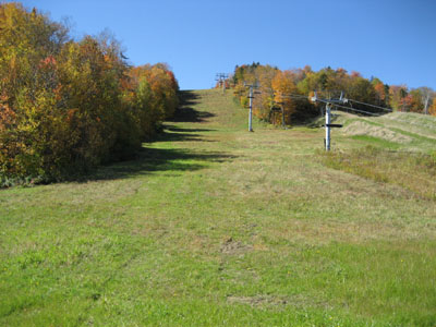
Nitro trailhead

Looking north over the Somerset Reservoir

Directions to trailhead: Take 100 North to the first signed Mt. Snow entrance (blinking traffic lights). Take a left at intersection, the Carinthia base area is on the right shortly thereafter.
Back to Mt. Snow Profile
|