Home
States
Colorado
Connecticut
Maine
Massachusetts
New Hampshire
New York
Rhode Island
Utah
Vermont
View All
Lists
NE 4,000 Footers
NE 100 Highest
NH 4,000 Footers
NH 100 Highest
NH 52 With A View
NH Belknap Range
NH Ossipee 10
Links
Trail Conditions
Trip Log
Sunrises
Sunsets
About
|
Cedar Swamp Mountain
Mount Desert, ME
Trailheads, measurements, times, distances, and maps are all approximate and relative to the hike(s) as shown below.

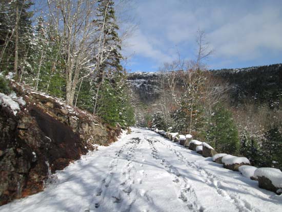
Looking up the Sargent South Ridge Trail
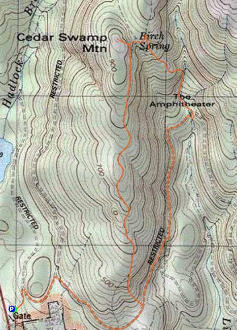
Route: Carriage roads, Sargent South Ridge Trail, Cedar Swamp Mountain Spur, Amphitheater Trail
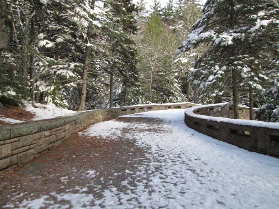
Carriage roads generally had 1-2" of snow remaining with bare spots widening during the day. Looks like folks had made it out on skis earlier. Very smooth, so no issue barebooting.
Sargent South Ridge Trail had some areas of dry ledge, wet ledge, black ice, blue ice, and snow drifts. About 3" of snow once up on the ridge a bit. Hard to follow in places, as the trail is marked for summer use.
Fortunately I took the side trip to Cedar Swamp Mountain (nice ledge views), as I missed my destination (Penobscot Mountain). I stayed on the ridge trail following the Amphitheater Trail junction near Birch Spring, but somehow ended up following a marked trail off the ridge down to the Amphitheater Trail soon thereafter. Since I wasn't enjoying the shoulder season conditions and trail finding, I opted not to backtrack. Amphitheater Trail was slow going on the steeps due to the hidden rock. Pretty near where it crosses under the bridge.
| Hike Ratings |
|
Getting To Trailhead: |
Easy |
| Destination: |
Cedar Swamp Mountain |
|
Length: |
Moderate |
|
Steepness: |
Difficult |
|
Navigation: |
Difficult |
|
Views: |
Excellent |
|
Crowds: |
Moderate |
|
| Hike Stats |
|
Date Hiked: |
Saturday, November 15, 2014 |
| Parking Elevation: |
230' |
| Destination: |
Cedar Swamp Mountain |
| Time Elapsed: |
00:45 |
| Trailhead Elevation: |
230' |
| Summit Elevation: |
942' |
| Vertical Gain: |
672' |
|
|
| Hike Time Elapsed: |
01:50 |
| Hike Vertical Gain: |
772' |
|
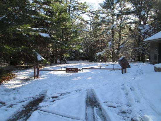
Entering the carriage roads from the gate house

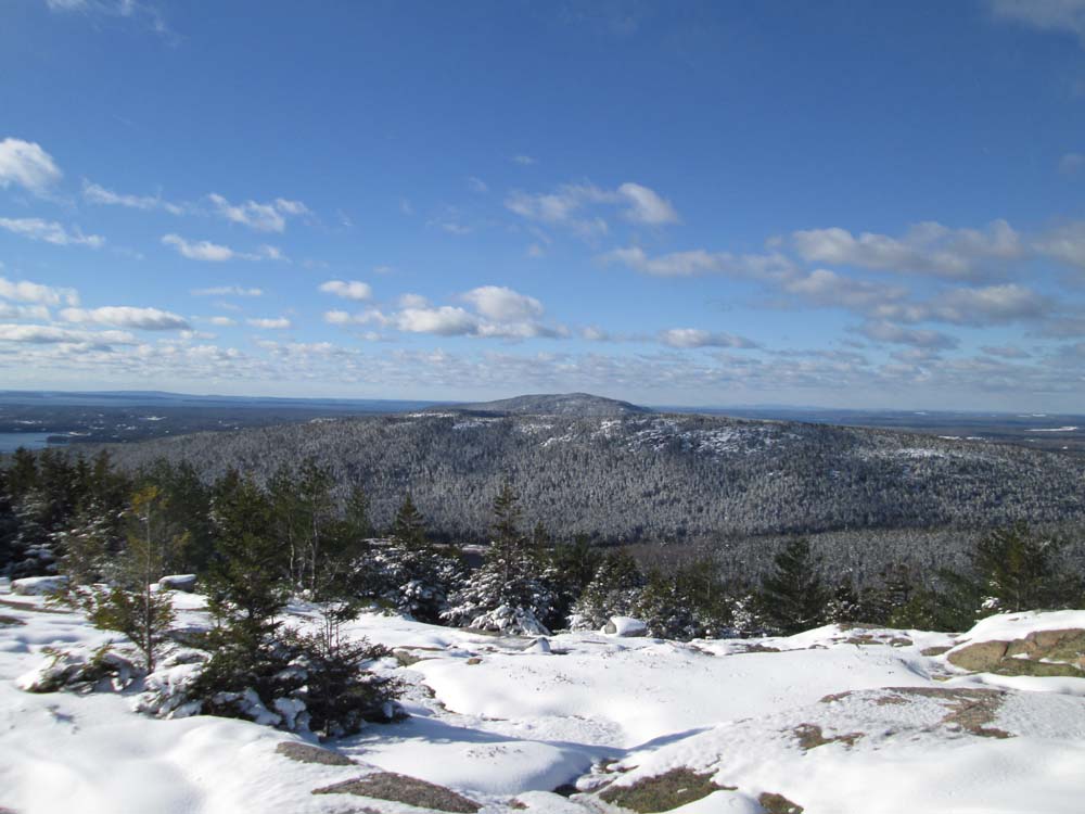
Norumbega Mountain as seen from Cedar Swamp Mountain
Amphitheater Bridge
A carriage road

Directions to trailhead: Take Route 198 south from Route 233. There is a parking lot adjacent to the gate house area on the left, south of Hadlock Pond.
Back to Cedar Swamp Mountain Profile
|