Home
States
Colorado
Connecticut
Maine
Massachusetts
New Hampshire
New York
Rhode Island
Utah
Vermont
View All
Lists
NE 4,000 Footers
NE 100 Highest
NH 4,000 Footers
NH 100 Highest
NH 52 With A View
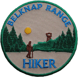
NH Belknap Range
NH Ossipee 10
Links
Trail Conditions
Trip Log
Sunrises
Sunsets
About
|
Belknap Range Peaks (12)
Per Belknap County Sportsmens Association
Summary
The Belknap Range, located south of Lake Winnipesaukee, features dozens of mountain peaks with many unique views. The Belknap County Sportsmens Association offers a patch to hikers who have hiked the dozen peaks in their Belknap Range list. In addition the Belknap Range Trail Tenders (BRATTS) offer a redlining patch to hikers who have hiked all of the trails in the range.
Range High Point
Belknap Mountain in Gilford at 2,382 feet.
Map
View the Google Map of the peaks on this page.
Mountain Profiles
Click on the name of the mountain or peak for maps, photos, and more.
|
| 2,000 Feet (4) |
|
|
| 1,000 Feet (8) |
| Mt. Mack | Gilford, NH | 1,945' |
| West Quarry Mountain | Alton, NH | 1,894' |
| Straightback Mountain | Alton, NH | 1,890' |
| Rand Mountain | Gilford, NH | 1,883' |
| Mt. Major | Alton, NH | 1,786' |
| Mt. Rowe | Gilford, NH | 1,680' |
| Mt. Anna | Gilmanton, NH | 1,670' |
| Whiteface Mountain | Gilford, NH | 1,664' |
|
|
