Home
States
Colorado
Connecticut
Maine
Massachusetts
New Hampshire
New York
Rhode Island
Utah
Vermont
View All
Lists
NE 4,000 Footers
NE 100 Highest
NH 4,000 Footers
NH 100 Highest
NH 52 With A View
NH Belknap Range
NH Ossipee 10
Links
Trail Conditions
Trip Log
Sunrises
Sunsets
About
|
Mt. Anna
Gilmanton, NH
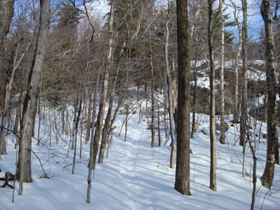
The Anna/Straightback Link trail
 Summary Summary
Mt. Anna, located west of Straightback Mountain, is part of the Belknap Range. While there are no views from its wooded summit, there is an outlook a few minutes southwest on the Blue Trail.
Summit Elevation
1,670 feet
Summit Facilities
None.
Trip Reports:
Click on the date for photos, timestamps, and maps.
| Date of Hike |
Trail(s) |
Length |
Steepness |
Vertical |
|
| November 25, 2020 |
Anna-Old Stage Road Link, more |
Moderate |
Moderate |
1,100' |
| April 12, 2020 |
Anna-Old Stage Road Link, more |
Moderate |
Moderate |
1,005' |
| November 10, 2017 |
Anna-Old Stage Road Link, more |
Moderate |
Moderate |
1,005' |
| September 10, 2016 |
Precipice Path, more |
Moderate |
Very Difficult |
955' |
| August 24, 2016 |
Anna-Old Stage Road Link, more |
Moderate |
Moderate |
1,005' |
| April 25, 2016 |
Precipice Path, more |
Moderate |
Very Difficult |
955' |
| June 24, 2015 |
Anna-Old Stage Road Link, more |
Moderate |
Difficult |
1,801' |
| May 5, 2014 |
Precipice Path, more |
Moderate |
Very Difficult |
955' |
| February 2, 2008 |
Mt. Major Trail, more |
Moderate |
Difficult |
2,306' |
|
More Information
- Belknap Range List
|
