Home
States
Colorado
Connecticut
Maine
Massachusetts
New Hampshire
New York
Rhode Island
Utah
Vermont
View All
Lists
NE 4,000 Footers
NE 100 Highest
NH 4,000 Footers
NH 100 Highest
NH 52 With A View
NH Belknap Range
NH Ossipee 10
Links
Trail Conditions
Trip Log
Sunrises
Sunsets
About
|
Deer Hill
Stow, ME
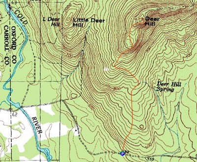
Trailheads, measurements, times, distances, and maps are all approximate and relative to the hike(s) as shown below.
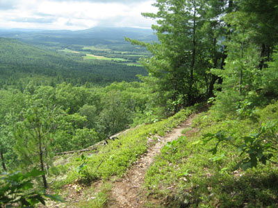
Looking down the Deer Hill Trail
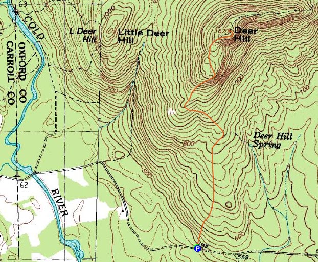
Route: Deer Hill Trail, (Deer Hill), Deer Hill Trail
In the middle of another long stretch of junk weather (a recurring theme this summer), I decided to at least get out for a short hike. Looking at the radar, it seemed like the White Mountains were going to get hit with some slow moving cells, so I decided to head out to the Maine border and check out Deer Hill.
I initially considered ascending via Deer Hill Road, but turned back when my truck was surrounded by deer flies near the trailhead.
My next attempt was via the Baldface Circle parking area. This was all well and fine until I reached the dam. Having never been here before, I could see how the crossing was normally possible - a series of alternating raised concrete slabs go across the dam. With the recent rains, the slabs were under 3-6 inches of water. Back to Deer Hill Road.
This time, I was determined to get onto the trail without deer flies. With my stuff ready, I was able to hit the trail right away, avoiding the pack of deer flies. This was short lived, however, as I picked up another one shortly up the trail.
The Deer Hill Trail was fairly gradual up to the spring path junction. Beyond that, the trail steepened up a bit, reaching some viewpoints shortly after a second trail junction. Just beyond the viewpoints, the trail reached a false summit, then continued into a small col, where things were a bit wet.
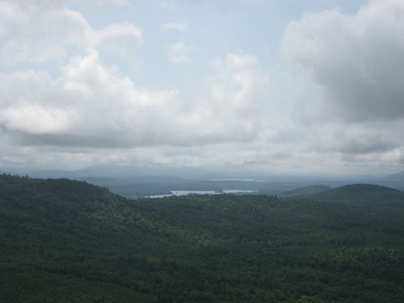
Soon there after, the trail reached another view ledge, and then the true summit. While things were fairly dark outside due to the clouds, some sun broke through for a bit. The view point had decent looks at points to the east and south - though some of the higher peaks, such as Pleasant Mountain, were in the clouds. While at the viewpoint, I heard a tree fall in the woods below, answering the age old question.
The descent was nice, as the sun continued to pop through the clouds. While I thought about doing a second hike, I decided not to get greedy - a goo decision, as the skies opened up later in the day.
| Hike Ratings |
|
Getting To Trailhead: |
Easy |
| Destination: |
Deer Hill |
|
Length: |
Moderate |
|
Steepness: |
Moderate |
|
Navigation: |
Easy |
|
Views: |
Excellent |
|
Crowds: |
Minimal |
|
| Hike Stats |
|
Date Hiked: |
Sunday, August 3, 2008 |
| Hike Commenced: |
10:46 AM |
| Parking Elevation: |
935' |
| Destination: |
Deer Hill |
| Ascent Commenced: |
10:46 AM |
| Summit Reached: |
11:16 AM |
| Time Elapsed: |
00:30 |
| Trailhead Elevation: |
500' |
| Summit Elevation: |
1,367' |
| Distance: |
1.3 miles |
| Vertical Gain: |
892' |
|
|
| Hike Ended: |
11:59 AM |
| Hike Time Elapsed: |
01:13 |
| Hike Distance: |
2.6 miles |
| Hike Vertical Gain: |
917' |
|
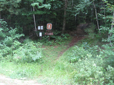
The Deer Hill Trail trailhead on Deer Hill Road
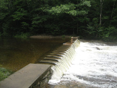
The dam reason I aborted my hike from the Baldface Circle parking lot

Looking toward the Kezar Lake from near the Deer Hill summit

Directions to trailhead: From US 302, take Maine 113 North into Evans Notch. Shortly before the Baldface Circle parking area, take a right onto Deer Hill Road. Continue up this dirt road past a WMNF gate. The Deer Hill Trail trailhead will sneak up on the left on a very slight curve. While there is no formal parking lot, there is room to park along the side of the road.
Back to Deer Hill Profile
|