Home
States
Colorado
Connecticut
Maine
Massachusetts
New Hampshire
New York
Rhode Island
Utah
Vermont
View All
Lists
NE 4,000 Footers
NE 100 Highest
NH 4,000 Footers
NH 100 Highest
NH 52 With A View
NH Belknap Range
NH Ossipee 10
Links
Trail Conditions
Trip Log
Sunrises
Sunsets
About
|
Snow Mountain
Upper Cupsuptic, ME
Trailheads, measurements, times, distances, and maps are all approximate and relative to the hike(s) as shown below.

Bushwhacking up the north side of Cupsuptic Snow
Route: Bushwhack
For the second hike of the day, we headed back down to Wiggle Brook Road from Kennebago Divide and White Cap, then over to near the height of land behind Cupsuptic Snow.
From there, we bushwhacked roughly due south in generally open woods, dealing with a few cliffbands and assorted steeps along the way.
After signing the summit canister, we dropped down a bit west, intially following a ridge through open to moderately thick spruce. We then dropped into the drainage, which was generally quite open and not overly wet. Awhile later, we found some old logging roads and herd paths, which brought us back to the intial hardwood stand we had started in, and directly to our vehicles.
| Hike Ratings |
|
Getting To Trailhead: |
Difficult |
| Destination: |
Snow Mountain |
|
Length: |
Moderate |
|
Steepness: |
Very Difficult |
|
Navigation: |
Difficult |
|
Views: |
Minimal |
|
Crowds: |
Minimal |
|
| Hike Stats |
|
Date Hiked: |
Saturday, July 9, 2011 |
| Parking Elevation: |
2,270' |
| Destination: |
Snow Mountain |
| Time Elapsed: |
01:34 |
| Trailhead Elevation: |
2,270' |
| Summit Elevation: |
3,784' |
| Vertical Gain: |
1,514' |
|
|
| Hike Time Elapsed: |
03:00 |
| Hike Vertical Gain: |
1,514' |
|

The beginning of the bushwhack

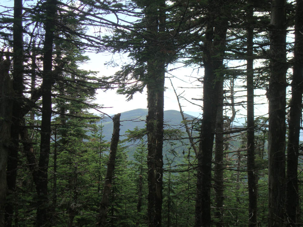
Slight views of West Kennebago Mountain from near the summit of Snow Mountain


Directions to trailhead: From Oquossoc, take Route 16 west, then take a right onto Morton Cutoff (logging road). After about 3.2 miles (from Route 16), take a right onto Lincoln Pond Road (may also be signed Tim Pond Road). Follow this until about 10.5 miles, then take a left onto another logging road (two culverts were washed out on this road in summer 2011, which will likely prohibit low to medium clearance vehicles from crossing without boards). At about 13.8 miles take a left onto Wiggle Brook Road. This road will eventually pass the northern slope of Cupsuptic Snow Mountain.
Back to Snow Mountain Profile
|