Home
States
Colorado
Connecticut
Maine
Massachusetts
New Hampshire
New York
Rhode Island
Utah
Vermont
View All
Lists
NE 4,000 Footers
NE 100 Highest
NH 4,000 Footers
NH 100 Highest
NH 52 With A View
NH Belknap Range
NH Ossipee 10
Links
Trail Conditions
Trip Log
Sunrises
Sunsets
About
|
Massaemett Mountain
Shelburne, MA
Trailheads, measurements, times, distances, and maps are all approximate and relative to the hike(s) as shown below. "Summit" photos may in fact not be at the actual summit - but instead at the best nearby vista.
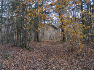
The trail after the water tank road ends
Massaemett is a convenient big mountain hike for Franklin County, Western Massachusetts standards.
| Hike Ratings |
|
Getting To Trailhead: |
Easy |
| Destination: |
Massaemett Mountain |
|
Length: |
Moderate |
|
Steepness: |
Moderate |
|
Navigation: |
Easy |
|
Views: |
Excellent |
|
Crowds: |
Minimal |
|
| Hike Stats |
|
Date Hiked: |
Tuesday, October 31, 2006 |
| Hike Commenced: |
3:42 PM |
| Parking Elevation: |
425' |
| Destination: |
Massaemett Mountain |
| Ascent Commenced: |
3:52 PM |
| Summit Reached: |
4:21 PM |
| Trailhead Elevation: |
560' |
| Summit Elevation: |
1,588' |
| Vertical Gain: |
1,028' |
| Hike Ended: |
5:30 PM |
| Hike Vertical Gain: |
1,163' |
|
Road to the water tank
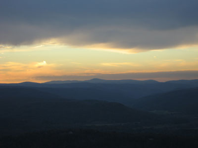
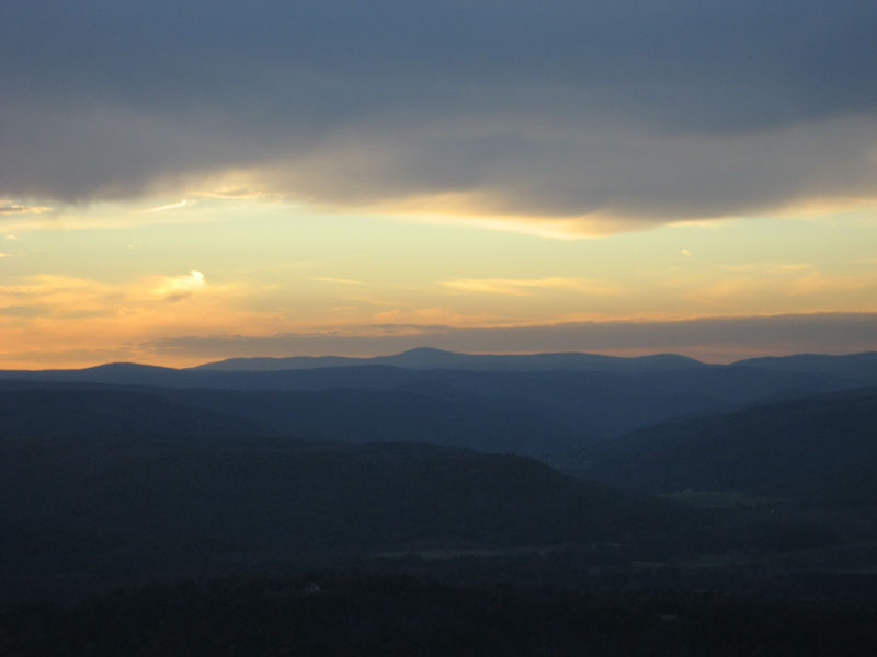
Looking west at Mt. Greylock
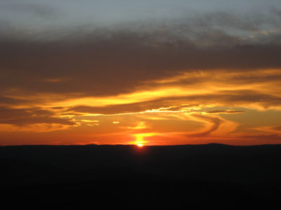
Looking west at the sunset
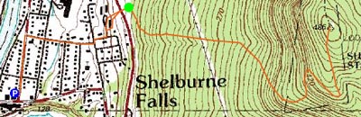

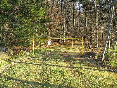
Directions to trailhead: From downtown Shelburne Falls parking, walk north on Main Street (not Bridge Street) then take a right onto Church Street. Bear left at the end of that street onto Highland Ave. Bear left onto a crushed rock road, cross Route 2, trailhead is at yellow gate.
Back to Massaemett Mountain Profile
|