Home
States
Colorado
Connecticut
Maine
Massachusetts
New Hampshire
New York
Rhode Island
Utah
Vermont
View All
Lists
NE 4,000 Footers
NE 100 Highest
NH 4,000 Footers
NH 100 Highest
NH 52 With A View
NH Belknap Range
NH Ossipee 10
Links
Trail Conditions
Trip Log
Sunrises
Sunsets
About
|
Massaemett Mountain
Shelburne, MA
Trailheads, measurements, times, distances, and maps are all approximate and relative to the hike(s) as shown below.
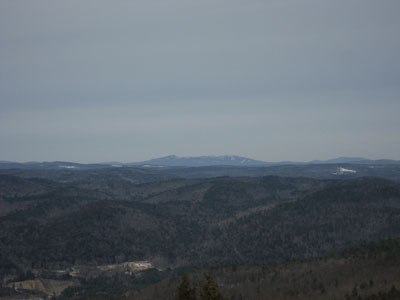
Almost a mirror image, but not quite
Recovering from a bad cold, I decided to try out my lungs during lunch. While I'm certainly still sick, I was able to make it up Massaemett nonstop without too much protesting in the form of coughing or wheezing.
This was most likely the last "late fall" hike of the season, as a one to two foot storm was set to hit later that night and cover the ground with more than the 1-4 inches that had been down thus far.
The weather was overcast with temperatures in the mid to upper teens. The trail still had an inch or two of snow on it with some isolated glaciers.
| Hike Ratings |
|
Getting To Trailhead: |
Easy |
| Destination: |
Massaemett Mountain |
|
Length: |
Moderate |
|
Steepness: |
Moderate |
|
Navigation: |
Easy |
|
Views: |
Excellent |
|
Crowds: |
Minimal |
|
| Hike Stats |
|
Date Hiked: |
Tuesday, February 13, 2007 |
| Hike Commenced: |
11:46 AM |
| Parking Elevation: |
560' |
| Destination: |
Massaemett Mountain |
| Ascent Commenced: |
11:46 AM |
| Summit Reached: |
12:15 PM |
| Trailhead Elevation: |
560' |
| Summit Elevation: |
1,588' |
| Vertical Gain: |
1,028' |
| Hike Ended: |
12:53 PM |
| Hike Vertical Gain: |
1,028' |
|
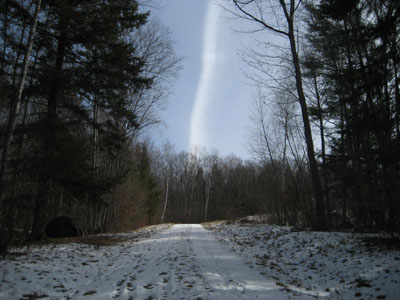
Road to the water tank
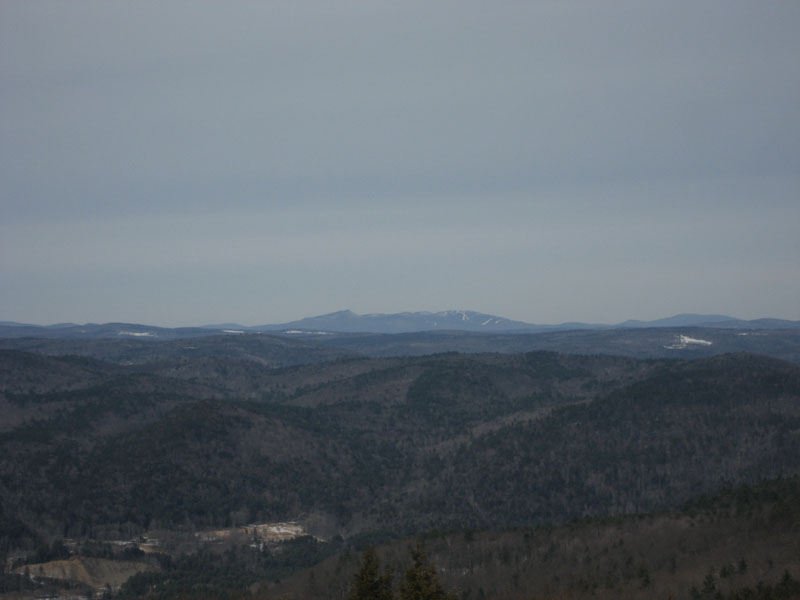
Looking north at Haystack and Mount Snow
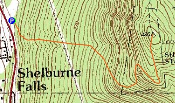

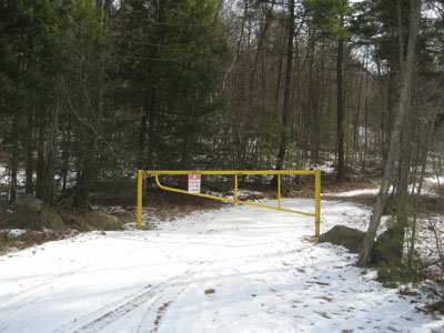
Directions to trailhead: Climbing a hill East on Route 2 after passing the 112 North exit, look for a small paved driveway on the left as the road levels out. The trail starts at the yellow gate.
Back to Massaemett Mountain Profile
|