Home
States
Colorado
Connecticut
Maine
Massachusetts
New Hampshire
New York
Rhode Island
Utah
Vermont
View All
Lists
NE 4,000 Footers
NE 100 Highest
NH 4,000 Footers
NH 100 Highest
NH 52 With A View
NH Belknap Range
NH Ossipee 10
Links
Trail Conditions
Trip Log
Sunrises
Sunsets
About
|
Massaemett Mountain
Shelburne, MA
Trailheads, measurements, times, distances, and maps are all approximate and relative to the hike(s) as shown below.
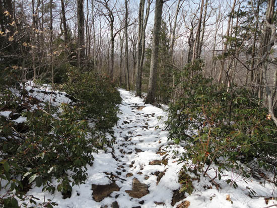
Heading up the trail to the Massaemett Mountain summit
The first hike of the day was Massaemett. Starting at the water tank road, there was an inch or two of wet, new snow. Reaching the summit, the views were good, though not far reaching due to isolated rain showers.
For the descent, the new snow was continuing to melt, revealing some bare ground.
| Hike Ratings |
|
Getting To Trailhead: |
Easy |
| Destination: |
Massaemett Mountain |
|
Length: |
Moderate |
|
Steepness: |
Moderate |
|
Navigation: |
Easy |
|
Views: |
Excellent |
|
Crowds: |
Minimal |
|
| Hike Stats |
|
Date Hiked: |
Saturday, April 2, 2011 |
| Parking Elevation: |
560' |
| Destination: |
Massaemett Mountain |
| Time Elapsed: |
00:35 |
| Trailhead Elevation: |
560' |
| Summit Elevation: |
1,588' |
| Vertical Gain: |
1,028' |
|
|
| Hike Time Elapsed: |
01:11 |
| Hike Vertical Gain: |
1,028' |
|
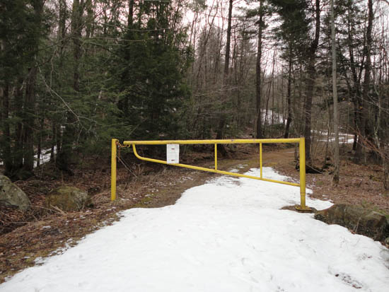
Road to the water tank
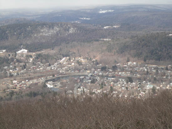
Shelburne Falls as seen from the Massaemett fire tower
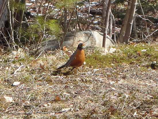
A bird enjoying bare ground
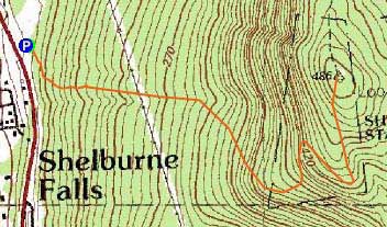

Directions to trailhead: Climbing a hill eastbound on Route 2 after passing the 112 North exit, look for a small paved driveway on the left as the road levels out. The trail starts at the yellow gate.
Back to Massaemett Mountain Profile
|

