Home
States
Colorado
Connecticut
Maine
Massachusetts
New Hampshire
New York
Rhode Island
Utah
Vermont
View All
Lists
NE 4,000 Footers
NE 100 Highest
NH 4,000 Footers
NH 100 Highest
NH 52 With A View
NH Belknap Range
NH Ossipee 10
Links
Trail Conditions
Trip Log
Sunrises
Sunsets
About
|
Mt. Hunger
Ashburnham, MA
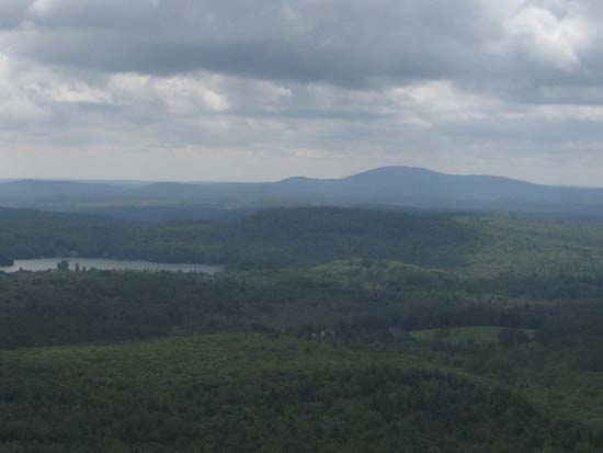
Mt. Hunger as seen from Mt. Watatic
 Summary Summary
Located about Stodge Meadow Pond, Mt. Hunger features directional views from a near summit ledge.
Summit Elevation
1,447 feet
Summit Facilities
None.
Trip Reports:
Click on the date for photos, timestamps, and maps.
More Information
|
