Home
States
Colorado
Connecticut
Maine
Massachusetts
New Hampshire
New York
Rhode Island
Utah
Vermont
View All
Lists
NE 4,000 Footers
NE 100 Highest
NH 4,000 Footers
NH 100 Highest
NH 52 With A View
NH Belknap Range
NH Ossipee 10
Links
Trail Conditions
Trip Log
Sunrises
Sunsets
About
|
Pocumtuck Mountain
Colrain, MA, Heath, MA, and Charlemont, MA
Trailheads, measurements, times, distances, and maps are all approximate and relative to the hike(s) as shown below.
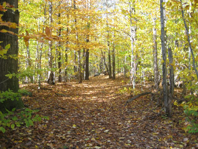
Un-named trail to Pocumtuck summit
Hiking to Pocumtuck from Colrain is a very quiet walk. Despite being in a state forest, the trails aren't heavily traveled, marked, or mapped.
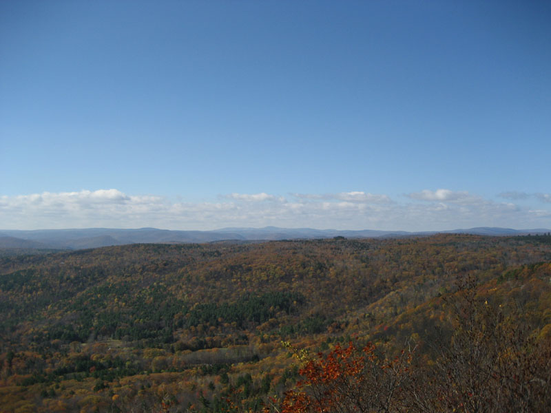
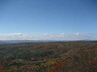
While the views were much better a few decades ago, there are still tremendous views off the ledge on the south side of Pocumtuck.
I also ventured over to the northern knob, which does not offer a view anymore.
| Hike Ratings |
|
Getting To Trailhead: |
Easy |
| Destination: |
Pocumtuck Mountain |
|
Length: |
Moderate |
|
Steepness: |
Moderate |
|
Navigation: |
Difficult |
|
Views: |
Excellent |
|
Crowds: |
Minimal |
|
| Hike Stats |
|
Date Hiked: |
Saturday, October 21, 2006 |
| Hike Commenced: |
11:13 AM |
| Parking Elevation: |
985' |
| Destination: |
Pocumtuck Mountain |
| Ascent Commenced: |
11:14 AM at South Catamount Hill Road trailhead |
| Summit Reached: |
12:18 PM |
| Time Elapsed: |
01:04 |
| Trailhead Elevation: |
990' |
| Summit Elevation: |
1,872' |
| Vertical Gain: |
1,152' |
|
|
| Hike Ended: |
2:01 PM |
| Hike Time Elapsed: |
02:48 |
| Hike Vertical Gain: |
1,617' |
|
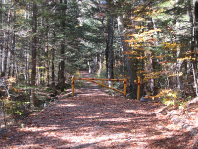
South Catamount Hill Road trailhead
Pocumtuck Mountain summit, looking west at Borden Mountain and Mt. Greylock
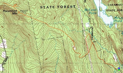

Directions to trailhead: Take Route 112 to North River Road, take a right onto Colrain Road, then take a left onto South Catamount Hill Road. There is some room to park near the gate (do not block the gate or any trailheads).
Back to Pocumtuck Mountain Profile
|