Home
States
Colorado
Connecticut
Maine
Massachusetts
New Hampshire
New York
Rhode Island
Utah
Vermont
View All
Lists
NE 4,000 Footers
NE 100 Highest
NH 4,000 Footers
NH 100 Highest
NH 52 With A View
NH Belknap Range
NH Ossipee 10
Links
Trail Conditions
Trip Log
Sunrises
Sunsets
About
|
Ames Mountain, Currier Hill
Rumney, NH
Trailheads, measurements, times, distances, and maps are all approximate and relative to the hike(s) as shown below.
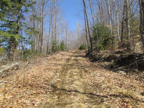
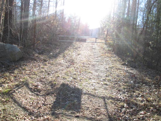
The logging road up Ames Mountain
Route: Logging roads, bushwhacks
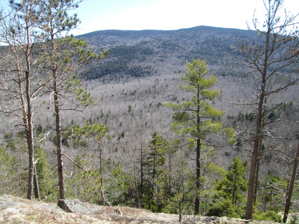
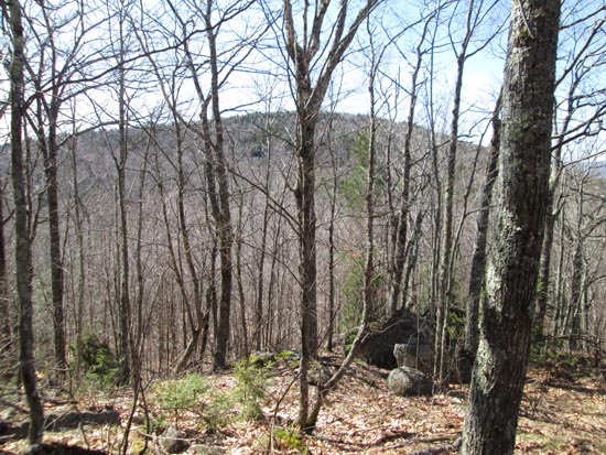
For the ascent, we initially followed a logging road, but left it at a flat, thinking it was going too far north (in hindsight, it was a long switchback). Eventually rejoining the road, we made it to the summit area, from where there was a directional view not too far from the wooded highpoint.
We then retraced our steps on the road for awhile, then bushwhacked toward the col and up Currier in generally open woods. After reaching the highpoint, we descended to the east briefly to some decent directional view ledges.
| Hike Ratings |
|
Getting To Trailhead: |
Easy |
| Destination: |
Ames Mountain |
|
Length: |
Moderate |
|
Steepness: |
Moderate |
|
Navigation: |
Moderate |
|
Views: |
Excellent |
|
Crowds: |
Minimal |
| Destination: |
Currier Hill |
|
Length: |
Moderate |
|
Steepness: |
Moderate |
|
Navigation: |
Difficult |
|
Views: |
Excellent |
|
Crowds: |
Minimal |
|
| Hike Stats |
|
Date Hiked: |
Sunday, April 10, 2016 |
| Parking Elevation: |
630' |
| Destination: |
Ames Mountain |
| Time Elapsed: |
01:09 |
| Trailhead Elevation: |
640' |
| Summit Elevation: |
2,070' |
| Vertical Gain: |
1,050' |
| Destination: |
Currier Hill |
| Time Elapsed: |
00:47 |
| Trailhead Elevation: |
2,070' |
| Summit Elevation: |
1,958' |
| Vertical Gain: |
248' |
|
|
| Hike Time Elapsed: |
03:50 |
| Hike Vertical Gain: |
1,398' |
|
The start of the logging road
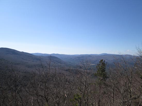
Looking south from Ames Mountain
Looking back toward Ames on the way up Currier Hill

Looking at Carr Mountain from the eastern slope of Currier Hill
Directions to trailhead: A logging road ascends Ames Mountain from East Side Road in Wentworth.
Back to Ames Mountain Profile
Back to Currier Hill Profile
|