Home
States
Colorado
Connecticut
Maine
Massachusetts
New Hampshire
New York
Rhode Island
Utah
Vermont
View All
Lists
NE 4,000 Footers
NE 100 Highest
NH 4,000 Footers
NH 100 Highest
NH 52 With A View
NH Belknap Range
NH Ossipee 10
Links
Trail Conditions
Trip Log
Sunrises
Sunsets
About
|
Bacon Ledge, Round Mountain
Stoddard, NH
Trailheads, measurements, times, distances, and maps are all approximate and relative to the hike(s) as shown below.

The Trout-n-Bacon Trail near Bacon Ledge
Route: Shedd Hill Road, Old Antrim Road, Trout-n-Bacon Trail
In Stoddard, southwestern NH.
If you're an avid collector of ticks, this is a must. Also, if you enjoy wet, grassy snowmobile trails.
The loop includes an extended road walk (about a mile and a half), half of which is on a paved road. Kind of unsavory. Going counterclockwise from Old Antrim, it starts off as a trail, then quickly joins a woods road (muddy) for quite awhile, then becomes a proper trail again (muddy down low) as it climbs Bacon Ledge. It remains a trail (more like a blazed overgrown herd path) until it nears Trout Pond (nice spot, but the logging a few years back sort of takes away from the backcountry feel), at which point you're dumped in a large field, then navigate down to a snowmobile trail (muddy and grassy).
I could see myself doing Bacon Ledge again on its own, as there are multiple directional views, however the rest of the loop may have been a one and done.
| Hike Ratings |
|
Getting To Trailhead: |
Difficult |
| Destination: |
Bacon Ledge |
|
Length: |
Moderate |
|
Steepness: |
Moderate |
|
Navigation: |
Easy |
|
Views: |
Excellent |
|
Crowds: |
Minimal |
| Destination: |
Round Mountain |
|
Length: |
Moderate |
|
Steepness: |
Easy |
|
Navigation: |
Difficult |
|
Views: |
Minimal |
|
Crowds: |
Minimal |
|
| Hike Stats |
|
Date Hiked: |
Wednesday, June 12, 2013 |
| Time to Trailhead: |
00:25 |
| Parking Elevation: |
1,541' |
| Destination: |
Bacon Ledge |
| Time Elapsed: |
00:22 |
| Trailhead Elevation: |
1,350' |
| Summit Elevation: |
1,960' |
| Vertical Gain: |
450' |
| Destination: |
Round Mountain |
| Time Elapsed: |
00:10 |
| Trailhead Elevation: |
1,960' |
| Summit Elevation: |
1,950' |
| Vertical Gain: |
60' |
|
|
| Hike Time Elapsed: |
02:09 |
| Hike Vertical Gain: |
910' |
|

The Trout-n-Bacon Trail trailhead on Old Antrim Road

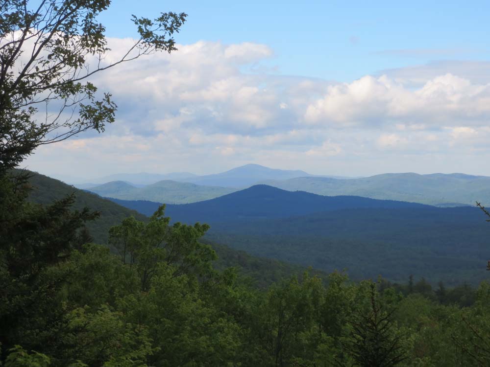
Looking toward Mt. Kearsarge from Bacon Ledge

The overgrown Trout-n-Bacon Trail between Bacon Ledge and Round Mountain

The wooded Round Mountain summit

Trout Pond
 ' '

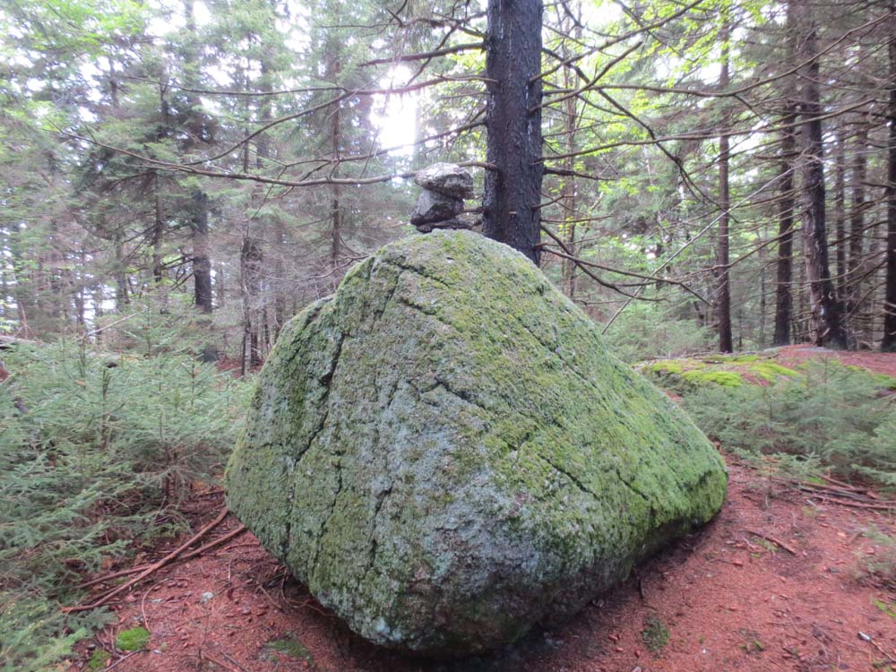
Directions to trailhead: From 9 near Stoddard, take Route 123 north, then take a right onto Shedd Hill Road. After the bridge, bear left to head uphill to the western Trout-n-Bacon Trail trailhead (not signed as such, rather just a gate with a Charles L. Peirce forest sign), or take a right onto Old Antrim Road. The southeastern Trout n Bacon Trail trailhead will be on the left after an old rock foundation, marked with a yellow cairn and a tiny arrow sign, just before a brook. There is limited room to park at either trailhead.
Back to Bacon Ledge Profile
Back to Round Mountain Profile
|