Home
States
Colorado
Connecticut
Maine
Massachusetts
New Hampshire
New York
Rhode Island
Utah
Vermont
View All
Lists
NE 4,000 Footers
NE 100 Highest
NH 4,000 Footers
NH 100 Highest
NH 52 With A View
NH Belknap Range
NH Ossipee 10
Links
Trail Conditions
Trip Log
Sunrises
Sunsets
About
|
Bald Peak
Easton, NH
Trailheads, measurements, times, distances, and maps are all approximate and relative to the hike(s) as shown below.
The Bald Knob Spur
Route: Mt. Kinsman Trail, Bald Knob Spur
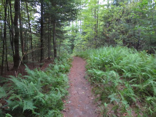
Trail was generally dry with a few minor mud patches in the usual spots. Lots of work done in recent years to mitigate larger muddy areas.
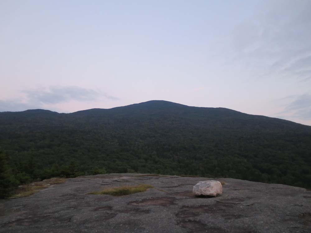
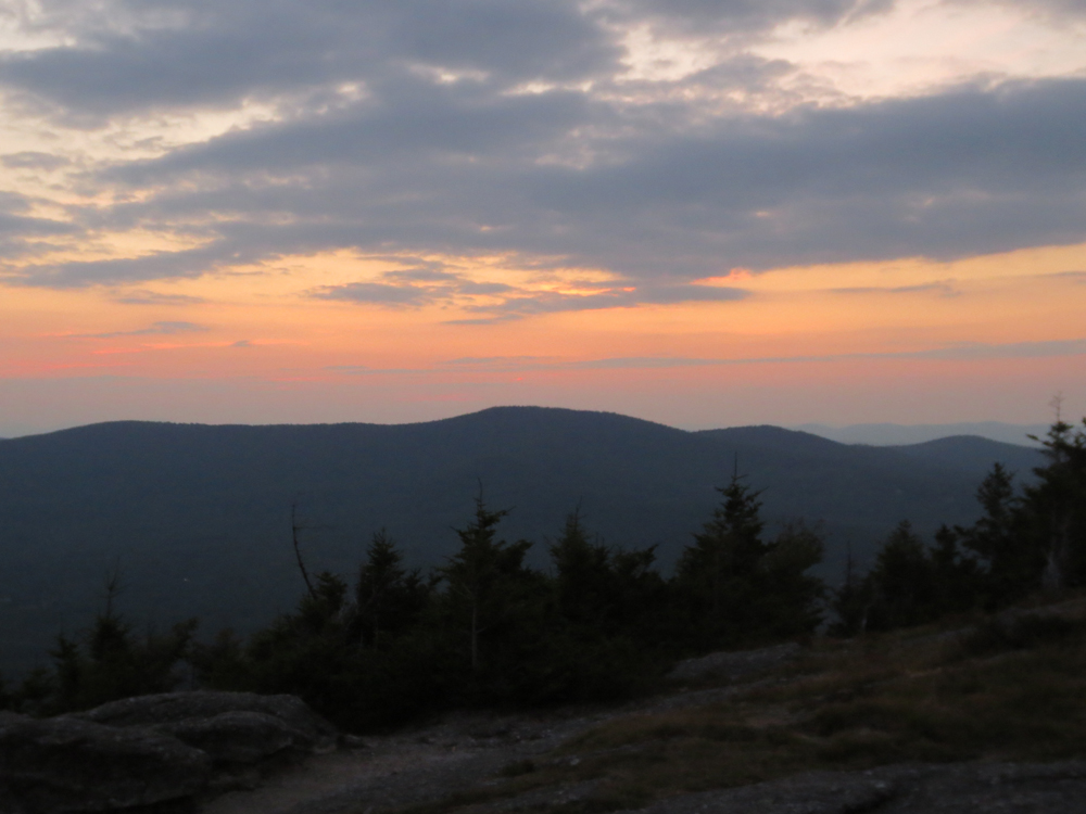
Excellent views from Bald Peak, but clouds and haze blocked out the sunset display.
| Hike Ratings |
|
Getting To Trailhead: |
Easy |
| Destination: |
Bald Peak |
|
Length: |
Moderate |
|
Steepness: |
Moderate |
|
Navigation: |
Easy |
|
Views: |
Excellent |
|
Crowds: |
Minimal |
|
| Hike Stats |
|
Date Hiked: |
Tuesday, August 20, 2013 |
| Parking Elevation: |
1,060' |
| Destination: |
Bald Peak |
| Time Elapsed: |
00:36 |
| Trailhead Elevation: |
1,060' |
| Summit Elevation: |
2,470' |
| Distance: |
2.3 miles |
| Vertical Gain: |
1,495' |
|
|
| Hike Time Elapsed: |
01:29 |
| Hike Distance: |
4.6 miles |
| Hike Vertical Gain: |
1,580' |
|
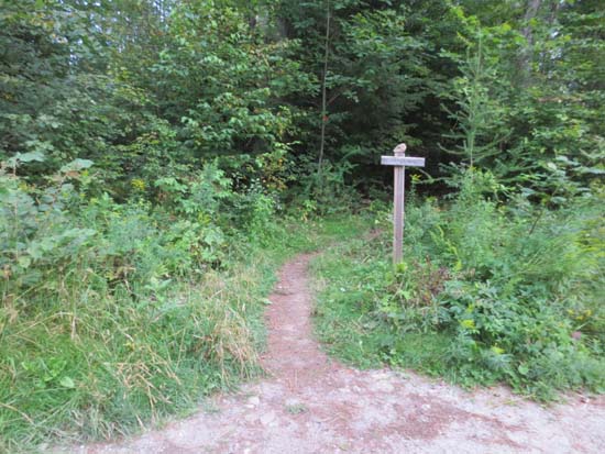
The Mt. Kinsman Trail trailhead
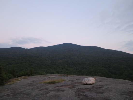
North Kinsman as seen from Bald Peak
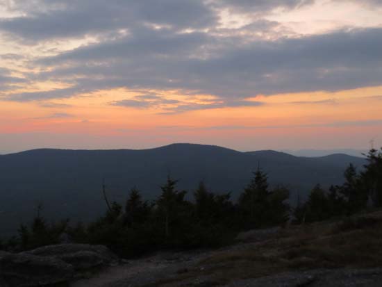
The sunset as seen from Bald Peak
Directions to trailhead: Take Route 112 West from Lincoln to Route 116 North. The short road to the Mt. Kinsman Trail trailhead and parking area will eventually be on the right, just before Tamarack Camp.
Back to Bald Peak Profile
|