Home
States
Colorado
Connecticut
Maine
Massachusetts
New Hampshire
New York
Rhode Island
Utah
Vermont
View All
Lists
NE 4,000 Footers
NE 100 Highest
NH 4,000 Footers
NH 100 Highest
NH 52 With A View
NH Belknap Range
NH Ossipee 10
Links
Trail Conditions
Trip Log
Sunrises
Sunsets
About
|
Black Mountain
Haverhill, NH, Benton, NH
Trailheads, measurements, times, distances, and maps are all approximate and relative to the hike(s) as shown below.

The Black Mountain Trail
Route: Black Mountain Trail
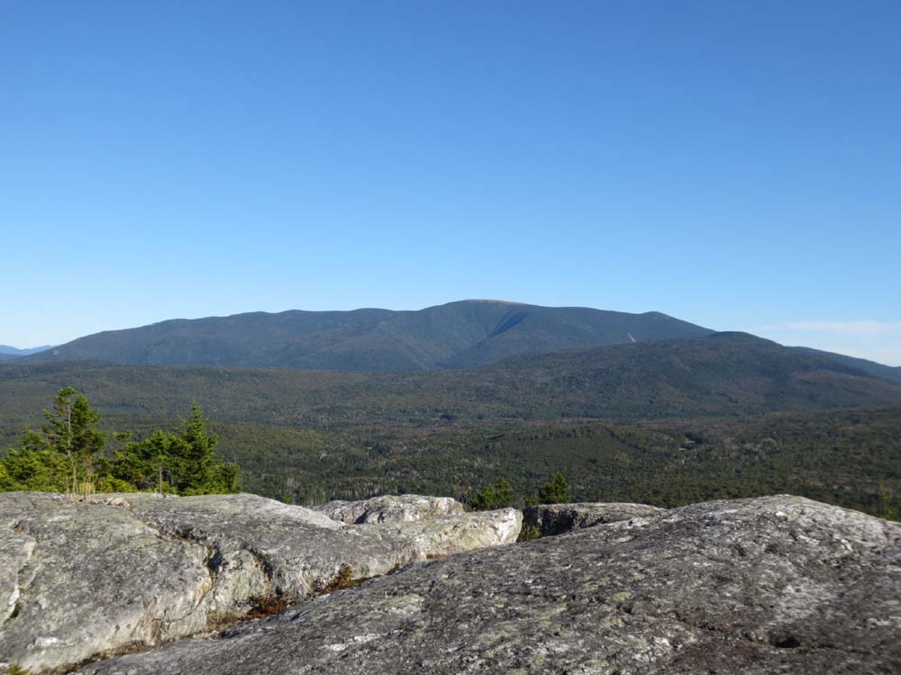
Trail was generally dry and in good shape. Wish more mountain trails in the Whites had footing like this. Excellent views as usual from the summit ledges. Not much to speak of in terms of foliage yet, but saw some colored leaves on the drive in.
Flagging for upcoming logging project is still up, but no signs of any logging yet.
| Hike Ratings |
|
Getting To Trailhead: |
Easy |
| Destination: |
Black Mountain |
|
Length: |
Moderate |
|
Steepness: |
Moderate |
|
Navigation: |
Easy |
|
Views: |
Excellent |
|
Crowds: |
Minimal |
|
| Hike Stats |
|
Date Hiked: |
Friday, September 6, 2013 |
| Parking Elevation: |
1,560' |
| Destination: |
Black Mountain |
| Time Elapsed: |
00:35 |
| Trailhead Elevation: |
1,560' |
| Summit Elevation: |
2,830' |
| Distance: |
2.4 miles |
| Vertical Gain: |
1,604' |
|
|
| Hike Time Elapsed: |
01:23 |
| Hike Vertical Gain: |
1,649' |
|

The Black Mountain Trail trailhead

Looking at Mt. Moosilauke from the Black Mountain ledges
Directions to trailhead: From Route 116 in Benton, take Howe Hill Road south. The Black Mountain Trail trailhead and parking area are located just beyond the last house on the road.
Back to Black Mountain Profile
|