Home
States
Colorado
Connecticut
Maine
Massachusetts
New Hampshire
New York
Rhode Island
Utah
Vermont
View All
Lists
NE 4,000 Footers
NE 100 Highest
NH 4,000 Footers
NH 100 Highest
NH 52 With A View
NH Belknap Range
NH Ossipee 10
Links
Trail Conditions
Trip Log
Sunrises
Sunsets
About
|
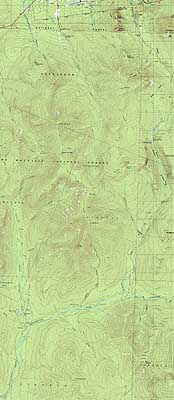
Bondcliff, Mt. Bond, Mt. Bond (West Peak), Mt. Guyot, Zealand Mountain
Lincoln, NH, Bethlehem, NH, Livermore, NH
Trailheads, measurements, times, distances, and maps are all approximate and relative to the hike(s) as shown below.
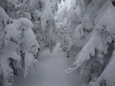
Looking up Wilderness Trail on the way to Bondcliff
Route: Lincoln Woods Trail, Wilderness Trail, Bondcliff Trail, (Bondcliff), Bondcliff Trail, (Mt. Bond), Bondcliff Trail, West Bond Trail, (West Bond), West Bond Trail, Bondcliff Trail, Twinway, (Mt. Guyot), Twinway, spur trail, (Zealand Mountain), spur trail, Twinway, Zealand Trail, Zealand Road,
While the better forecast was for the following day, we decided the forecast for the present day was good enough to get across the Bonds.
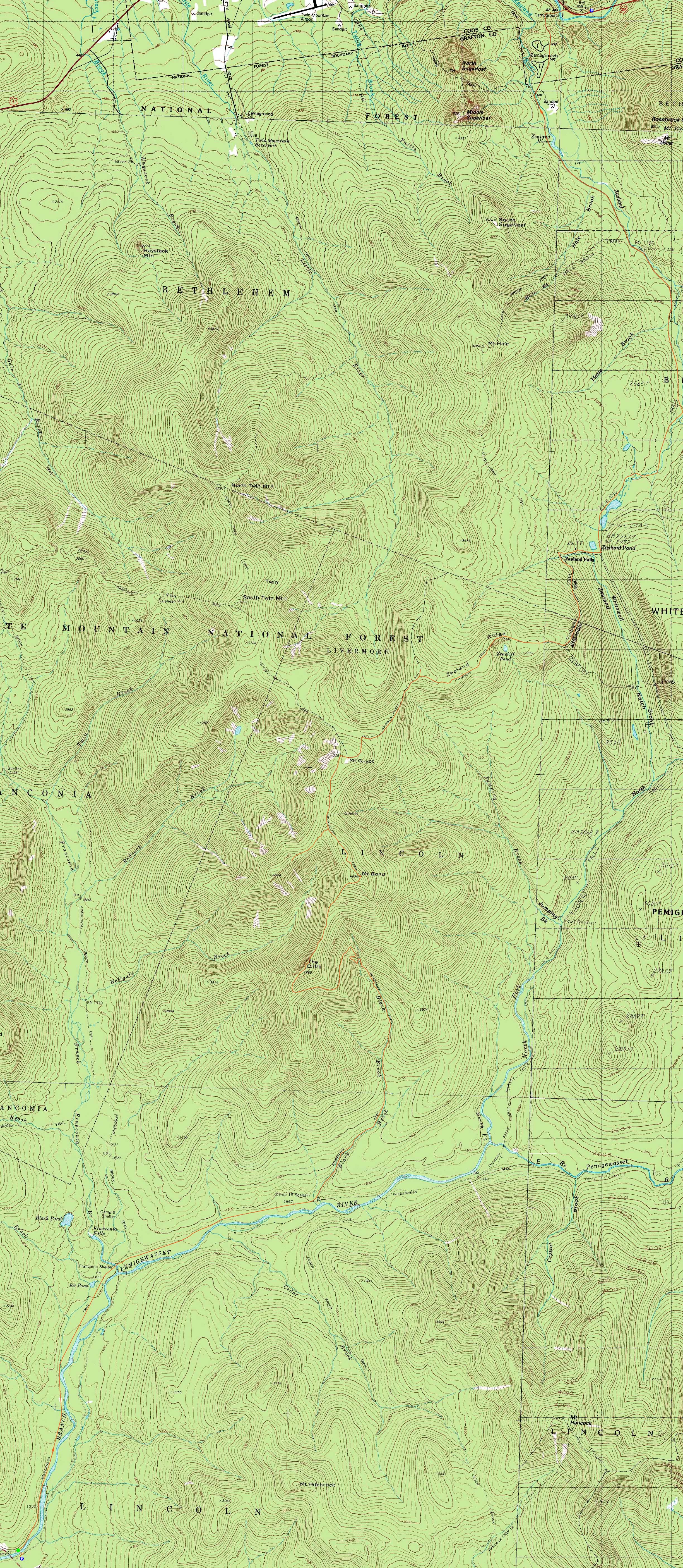
After spotting a vehicle at the US 302 lot, we headed to Lincoln Woods and set foot on the Lincoln Woods Trail around sunrise. Passing the Black Pond Trail, we were on our own, breaking trail in about 2-3" of new snow - nothing that tough.
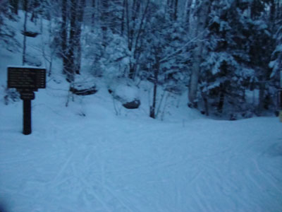
The Bondcliff Trail was in generally good shape, though the lower three water crossings were open. While we had blue sky for the ascent, the summit was in the clouds by the time we arrived. Continuing across the ridge, which was surprisingly covered in snow (it's been bare pretty much every time I've been there), we broke trail up to Mt. Bond - about 6-8" deep.
Once again in the clouds, we didn't linger long. The next stop was West Bond which had some limited views below the clouds.
The largest drifts of the day were encountered as we approached South Guyot. Due to the amount of snow, we were able to cut off the corner to the Twinway junction via a snowfield. Reaching Guyot, we strayed off the trail a bit, as the snow depths had obscured the treeline.
Nearing the col between Guyot and Zealand, we saw the first other people of the day - nice to know that we didn't have to do much more trailbreaking (not that it was overly difficult). Nonetheless, the Zealand summit spur was not broken out, and tracks heading northbound were quickly drifted over. Overall, the section of trail from Guyot to the Zeacliff spur junction was very slow going due to numerous blowdowns and leanover trees.
The descent from the Zeacliff area went fairly quickly - we were soon at the hut, where we took a break just before sunset (no display, due to the clouds). From there, we made it about halfway down the Zealand Trail before needed headlamps. After the Zealand Road and subsequent snowmobile trail walk, the US 302 parking lot was a nice sight to see.
| Hike Ratings |
|
Getting To Trailhead: |
Easy |
| Destination: |
Bondcliff |
|
Length: |
Very Difficult |
|
Steepness: |
Difficult |
|
Navigation: |
Easy |
|
Views: |
Minimal (due to weather) |
|
Crowds: |
Minimal |
| Destination: |
Mt. Bond |
|
Length: |
Very Difficult |
|
Steepness: |
Difficult |
|
Navigation: |
Difficult |
|
Views: |
Minimal (due to weather) |
|
Crowds: |
Minimal |
| Destination: |
Mt. Bond (West Peak) |
|
Length: |
Very Difficult |
|
Steepness: |
Difficult |
|
Navigation: |
Easy |
|
Views: |
Moderate (due to weather) |
|
Crowds: |
Minimal |
| Destination: |
Mt. Guyot |
|
Length: |
Very Difficult |
|
Steepness: |
Difficult |
|
Navigation: |
Difficult |
|
Views: |
Minimal (due to weather) |
|
Crowds: |
Minimal |
| Destination: |
Zealand Mountain |
|
Length: |
Very Difficult |
|
Steepness: |
Difficult |
|
Navigation: |
Difficult |
|
Views: |
Minimal |
|
Crowds: |
Heavy |
|
| Hike Stats |
|
Date Hiked: |
Wednesday, January 20, 2010 |
| Hike Commenced: |
6:43 AM |
| Parking Elevation: |
1,170' |
| Destination: |
Bondcliff |
| Ascent Commenced: |
6:45 AM |
| Summit Reached: |
11:15 AM |
| Time Elapsed: |
04:30 |
| Trailhead Elevation: |
1,170' |
| Summit Elevation: |
4,265' |
| Distance: |
9.1 miles |
| Vertical Gain: |
3,245' |
| Destination: |
Mt. Bond |
| Ascent Commenced: |
11:17 AM |
| Summit Reached: |
12:08 PM |
| Time Elapsed: |
00:51 |
| Trailhead Elevation: |
4,265' |
| Summit Elevation: |
4,698' |
| Distance: |
1.2 miles |
| Vertical Gain: |
718' |
| Destination: |
Mt. Bond (West Peak) |
| Ascent Commenced: |
12:09 PM |
| Summit Reached: |
12:50 PM |
| Time Elapsed: |
00:41 |
| Trailhead Elevation: |
4,698' |
| Summit Elevation: |
4,540' |
| Distance: |
1 mile |
| Vertical Gain: |
420' |
| Destination: |
Mt. Guyot |
| Ascent Commenced: |
12:53 PM |
| Summit Reached: |
1:51 PM |
| Time Elapsed: |
00:58 |
| Trailhead Elevation: |
4,540' |
| Summit Elevation: |
4,580' |
| Distance: |
1.3 miles |
| Vertical Gain: |
510' |
| Destination: |
Zealand Mountain |
| Ascent Commenced: |
1:53 PM |
| Summit Reached: |
2:50 PM |
| Time Elapsed: |
00:57 |
| Trailhead Elevation: |
1,170' |
| Summit Elevation: |
4,260' |
| Vertical Gain: |
320' |
|
|
| Hike Ended: |
6:44 PM |
| Hike Time Elapsed: |
12:01 |
| Hike Vertical Gain: |
5,313' |
|
The Lincoln Woods Trail trailhead
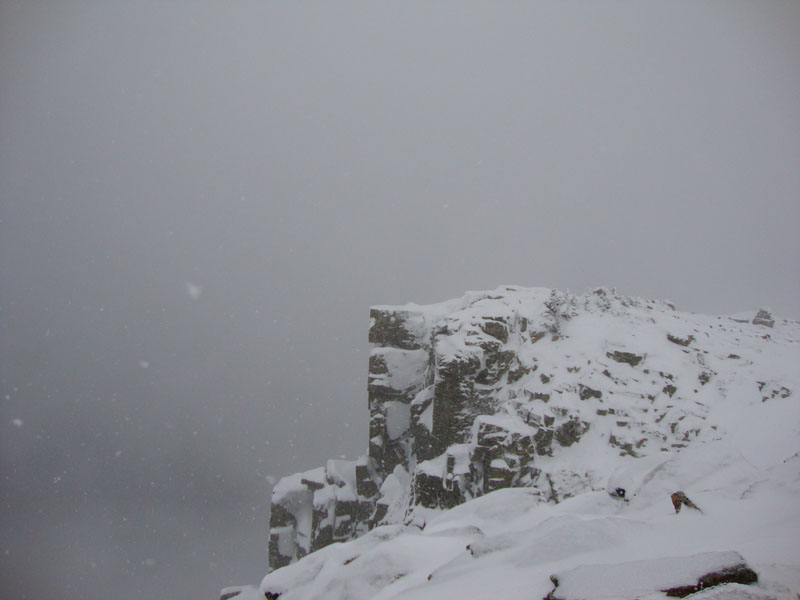
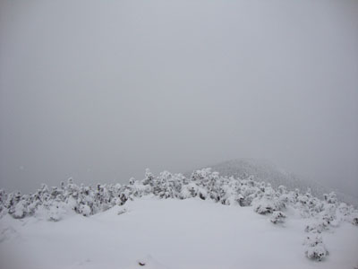
Limited views on Bondcliff

Looking up the Bondcliff Trail on the way to Mt. Bond
Limited views from Mt. Bond
Looking down the Bondcliff Trail on the way to West Bond
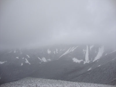
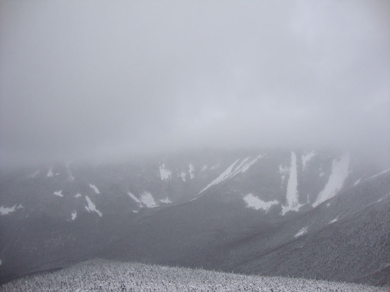
Looking toward South Twin from the West Bond summit
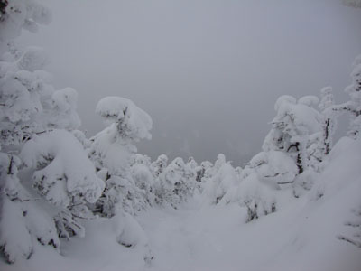
The Bondcliff Trail on the way to Mt. Guyot
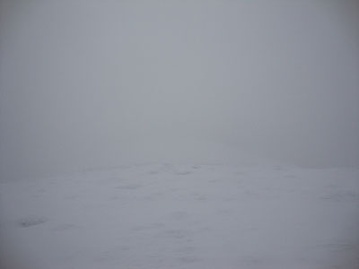
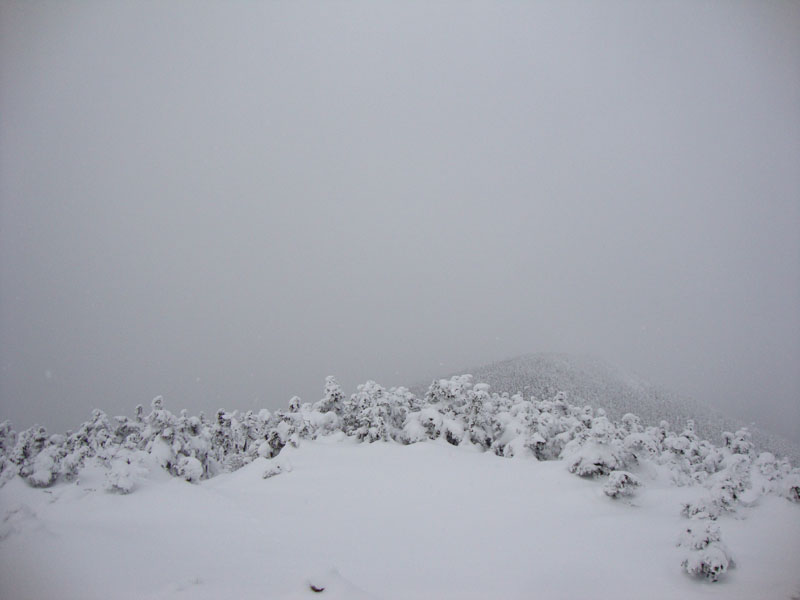
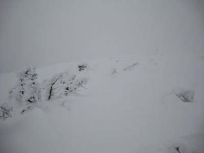
Limited visibility on Mt. Guyot
The Twinway on the way to Zealand Mountain
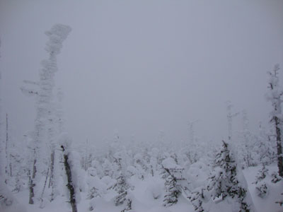
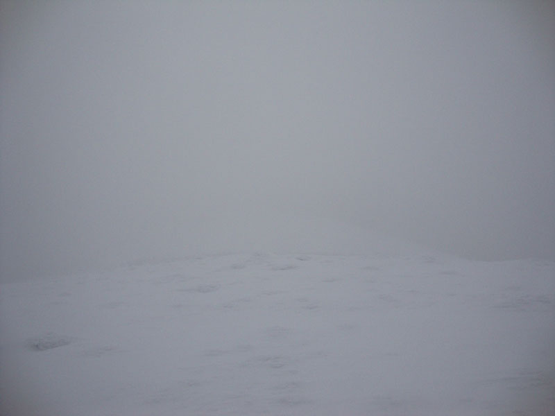
Limited visibility on Zealand Mountain

Directions to trailhead: To get to Lincoln Woods, take Route 112 East from I-93 past Loon to the Lincoln Woods WMNF fee parking area (left side of road). To get to the Zealand parking area in winter (Zealand Road is closed), take US 302 west from Bartlett past Bretton Woods Ski Area. A few minutes after, the Zealand parking lot will be on the right. Zealand Road (gated) is on the left, around the corner.
Back to Bondcliff Profile
Back to Mt. Bond Profile
Back to Mt. Bond (West Peak) Profile
Back to Mt. Guyot Profile
Back to Zealand Mountain Profile
|