Home
States
Colorado
Connecticut
Maine
Massachusetts
New Hampshire
New York
Rhode Island
Utah
Vermont
View All
Lists
NE 4,000 Footers
NE 100 Highest
NH 4,000 Footers
NH 100 Highest
NH 52 With A View
NH Belknap Range
NH Ossipee 10
Links
Trail Conditions
Trip Log
Sunrises
Sunsets
About
|
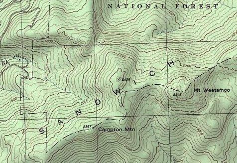
Campton Mountain, Mt. Weetamoo
Campton, NH
Trailheads, measurements, times, distances, and maps are all approximate and relative to the hike(s) as shown below.
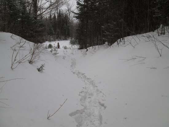
Ascending a logging road
Route: Bushwhacks, logging roads
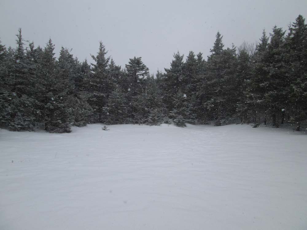
We bushwhacked up from near Reservoir Road, roughly following the forest boundary swath, though we did stray off it after awhile and found some logging roads. Eventually, we bushwhacked up to the ridge, then along it to Campton Mountain. Wooded unmarked highpoint, adjacent to a bog. Possibility for a view through the trees from a little east of there, but hard to tell. With current snowpack, the woods were reasonable.
We then continued along the ridge in reasonable woods, dropping down a few times for open woods. We didn't find any markings on the summit of Weetamoo. Due to the weather, we didn't get to see anything, but it appears there would be westerly views in the current snowpack. There appear to be some ledges at and near the summit, but we didn't investigate too much due to the weather.
Overall, snowpack was probably close to 2 feet down low and 3 feet or more along the ridge. Conditions were subpar, as the breakable crust (about an inch of frozen granular on top of sugar snow) made for slow going. There was also about an inch of new powder that fell this morning. Snow was starting to soften up down low on the way out.
| Hike Ratings |
|
Getting To Trailhead: |
Difficult |
| Destination: |
Campton Mountain |
|
Length: |
Moderate |
|
Steepness: |
Difficult |
|
Navigation: |
Difficult |
|
Views: |
Minimal |
|
Crowds: |
Minimal |
| Destination: |
Mt. Weetamoo |
|
Length: |
Moderate |
|
Steepness: |
Difficult |
|
Navigation: |
Difficult |
|
Views: |
Minimal (due to weather) |
|
Crowds: |
Minimal |
|
| Hike Stats |
|
Date Hiked: |
Saturday, March 28, 2015 |
| Parking Elevation: |
1,520' |
| Destination: |
Campton Mountain |
| Time Elapsed: |
02:03 |
| Trailhead Elevation: |
1,590' |
| Summit Elevation: |
2,387' |
| Vertical Gain: |
847' |
| Destination: |
Mt. Weetamoo |
| Time Elapsed: |
01:32 |
| Trailhead Elevation: |
2,387' |
| Summit Elevation: |
2,548' |
| Vertical Gain: |
361' |
|
|
| Hike Time Elapsed: |
05:54 |
| Hike Time Elapsed: |
1,408 |
|
The marsh adjacent to the summit of Campton Mountain

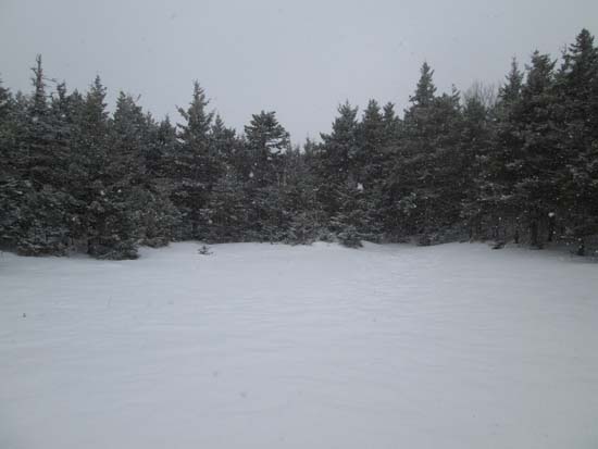
An open glade between the peaks

Fog as seen from Mt. Weetamoo

Directions to trailhead: Reservoir Road in Campton is plowed in winter.
Back to Campton Mountain Profile
Back to Mt. Weetamoo Profile
|