Home
States
Colorado
Connecticut
Maine
Massachusetts
New Hampshire
New York
Rhode Island
Utah
Vermont
View All
Lists
NE 4,000 Footers
NE 100 Highest
NH 4,000 Footers
NH 100 Highest
NH 52 With A View
NH Belknap Range
NH Ossipee 10
Links
Trail Conditions
Trip Log
Sunrises
Sunsets
About
|
Castle Mountain (West Peak)
Stratford, NH
Trailheads, measurements, times, distances, and maps are all approximate and relative to the hike(s) as shown below.
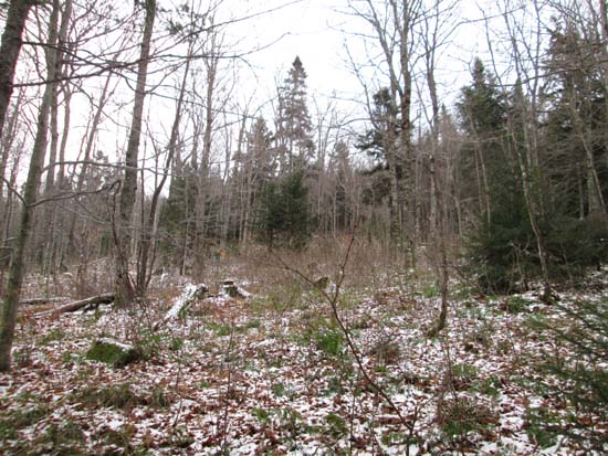
Open woods on the lower shoulder of West Castle
Route: Logging roads, bushwhacks
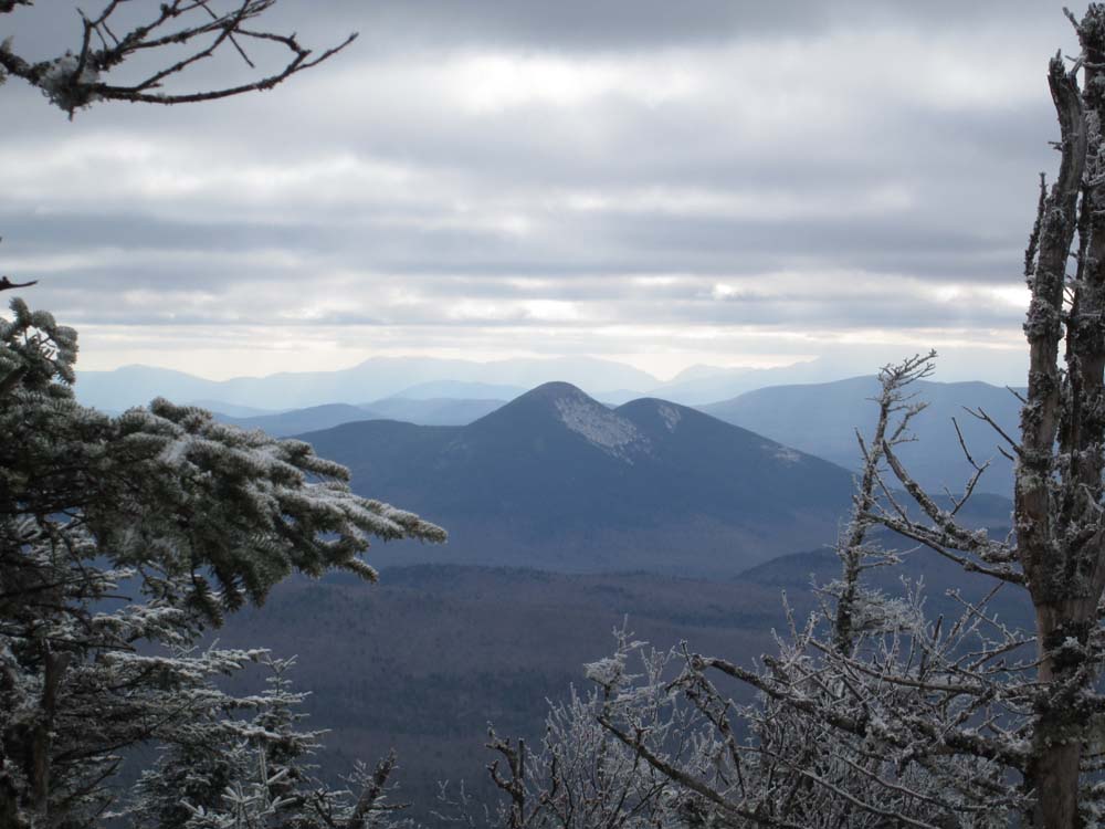
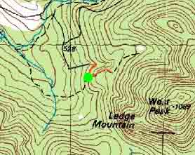
Started with a short road walk up to the gate at the end of Brown Road, then took a left onto the gravel logging road/snowmobile trail. Shortly after passing a small gravel pit, the road takes a left turn and starts to slab. At this point, I ascended into the woods. Open hardwood initially, followed by mixed, and then some thicker spruce with blowdown not too far below the recognized summit. Ground was frozen and there was a dusting of snow. Decent views south through a blowdown patch adjacent to the highpoint.
I initially retraced my steps on the descent, then picked up an old logging road around 2,700 feet (it continues to climb as it goes southwest), then followed that downhill to an active logging operation. Once in there, things looked to be muddy (but ground was frozen). Probably easier and faster to just do the direct bushwhack at this point.
| Hike Ratings |
|
Getting To Trailhead: |
Moderate |
| Destination: |
Castle Mountain (West Peak) |
|
Length: |
Moderate |
|
Steepness: |
Moderate |
|
Navigation: |
Difficult |
|
Views: |
Moderate |
|
Crowds: |
Minimal |
|
| Hike Stats |
|
Date Hiked: |
Saturday, November 9, 2013 |
| Parking Elevation: |
1,820' |
| Destination: |
Castle Mountain (West Peak) |
| Time Elapsed: |
01:20 |
| Trailhead Elevation: |
1,900' |
| Summit Elevation: |
3,590' |
| Vertical Gain: |
1,790' |
|
|
| Hike Time Elapsed: |
02:53 |
| Hike Vertical Gain: |
1,970' |
|
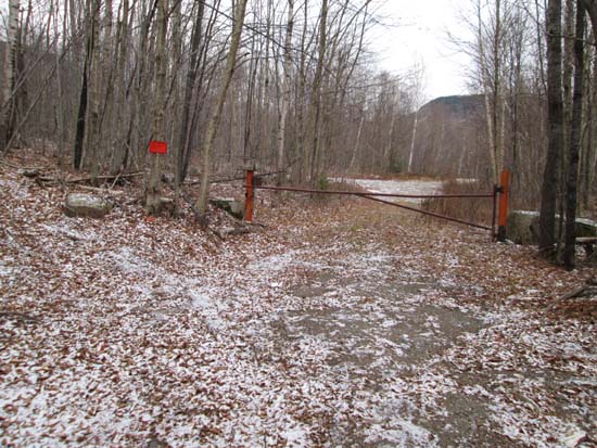
The gate at the far end of Brown Road
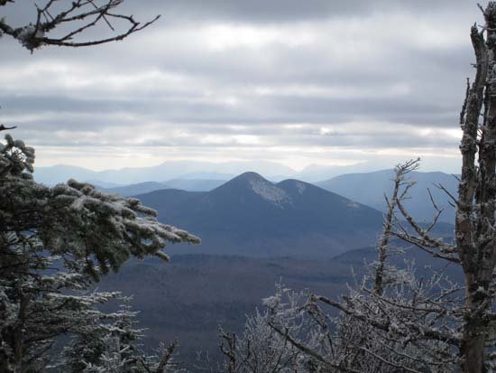
Looking at the Percy Peaks from West Castle

Directions to trailhead: Take US 3 North from North Stratford, then take a right onto Meriden Hill Road. Bear left at a junction (gated road right). Take a right onto Brown Road. Eventually reaching a large field adjacent to some camps, the road takes a sharp left and becomes rough. A fraction of a mile later, the road reaches a gate, where one can walk left onto a gated logging road/snowmobile corridor.
Back to Castle Mountain (West Peak) Profile
|