Home
States
Colorado
Connecticut
Maine
Massachusetts
New Hampshire
New York
Rhode Island
Utah
Vermont
View All
Lists
NE 4,000 Footers
NE 100 Highest
NH 4,000 Footers
NH 100 Highest
NH 52 With A View
NH Belknap Range
NH Ossipee 10
Links
Trail Conditions
Trip Log
Sunrises
Sunsets
About
|
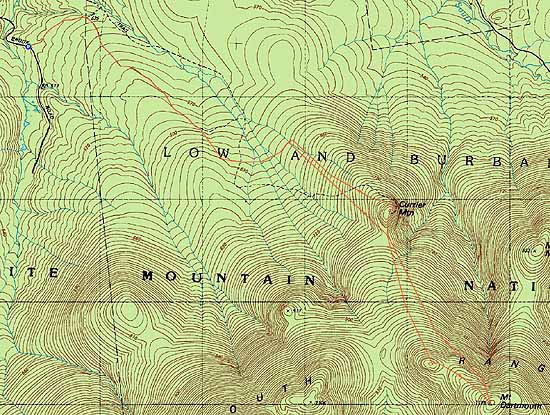
Currier Mountain, Mt. Dartmouth
Carroll, NH, Low and Burbanks Grant, NH
Trailheads, measurements, times, distances, and maps are all approximate and relative to the hike(s) as shown below.
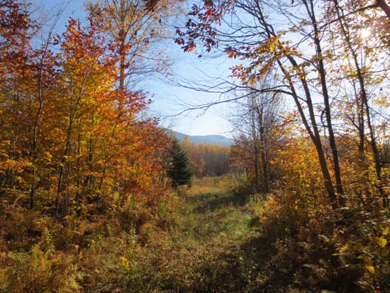
A logging road on the way to Currier Mountain
Route: Logging roads, bushwhack, (Currier Mountain), bushwhack, (Mt. Dartmouth), bushwhack, (Currier Mountain), bushwhack, logging roads
Initial logging road walk was mostly dry with a few minor mud patches. When then went uphill at a large older clearcut, which was rather muddy (on descent, we stayed off to the side in the woods, which were dry). Toward the top of the clearcut, we hopped onto an old logging road and followed it much of the way to the col south of Currier.
While we saw evidence of the old trail, we ended up bushwhacking much of the small cone up Currier (from the south), which had some occasional thick scrub and blowdown. While we could find any sign of the long gone fire tower, we did find some of the communications wire on the north side of the summit. Excellent directional views from the ledges (especially if you drop down maybe 15 vertical feet onto them).
Back in the south col, we slabbed up to Dartmouth, sort of following the ridge. Near the false northwest bump, we started hitting thicker stuff and some blowdown, before things eased up near the recognized highpoint.
For the descent, we dropped down the north slope, then slabbed northwest, running more of a direct line back to Currier. Much better woods. Pretty good going in fact. We then reclimbed Currier (in part to go to the ledges again, now that the sun wasn't directly in front of us, obscuring views), then attempted to follow the old trail that wrapped around the northeast and north, but only had it in places (as evidenced by old footbed and the communications wire). We eventually then just bushwhacked west through mostly open woods and back to the main logging road. While I had heard about a herd path all the way to Currier, I didn't see any evidence of anything as prominent as the bootleg path to The Nubble.
| Hike Ratings |
|
Getting To Trailhead: |
Easy |
| Destination: |
Currier Mountain |
|
Length: |
Moderate |
|
Steepness: |
Difficult |
|
Navigation: |
Very Difficult |
|
Views: |
Excellent |
|
Crowds: |
Minimal |
| Destination: |
Mt. Dartmouth |
|
Length: |
Moderate |
|
Steepness: |
Difficult |
|
Navigation: |
Very Difficult |
|
Views: |
Minimal |
|
Crowds: |
Minimal |
|
| Hike Stats |
|
Date Hiked: |
Sunday, October 12, 2013 |
| Parking Elevation: |
1,660' |
| Destination: |
Currier Mountain |
| Time Elapsed: |
01:37 |
| Trailhead Elevation: |
1,660' |
| Summit Elevation: |
2,790' |
| Vertical Gain: |
1,180' |
| Destination: |
Mt. Dartmouth |
| Time Elapsed: |
01:35 |
| Trailhead Elevation: |
2,790' |
| Summit Elevation: |
3,727' |
| Vertical Gain: |
1,077' |
|
|
| Hike Time Elapsed: |
08:07 |
| Hike Vertical Gain: |
2,457' |
|
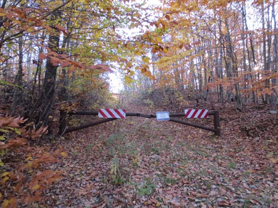
The start of the logging road off Mill Brook Road
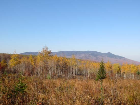
Looking at Cherry Mountain from a logging landing on the way to Currier Mountain
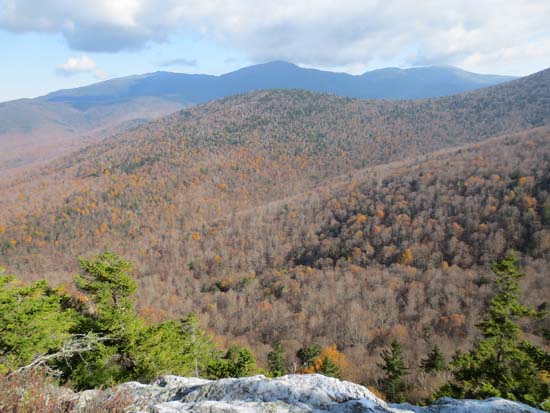
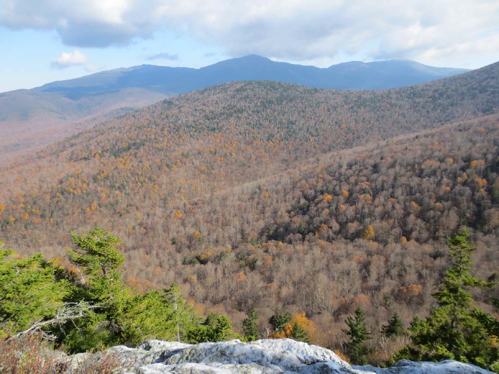
Looking at the Northern Presidentials from the Currier Mountain ledges
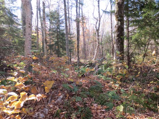
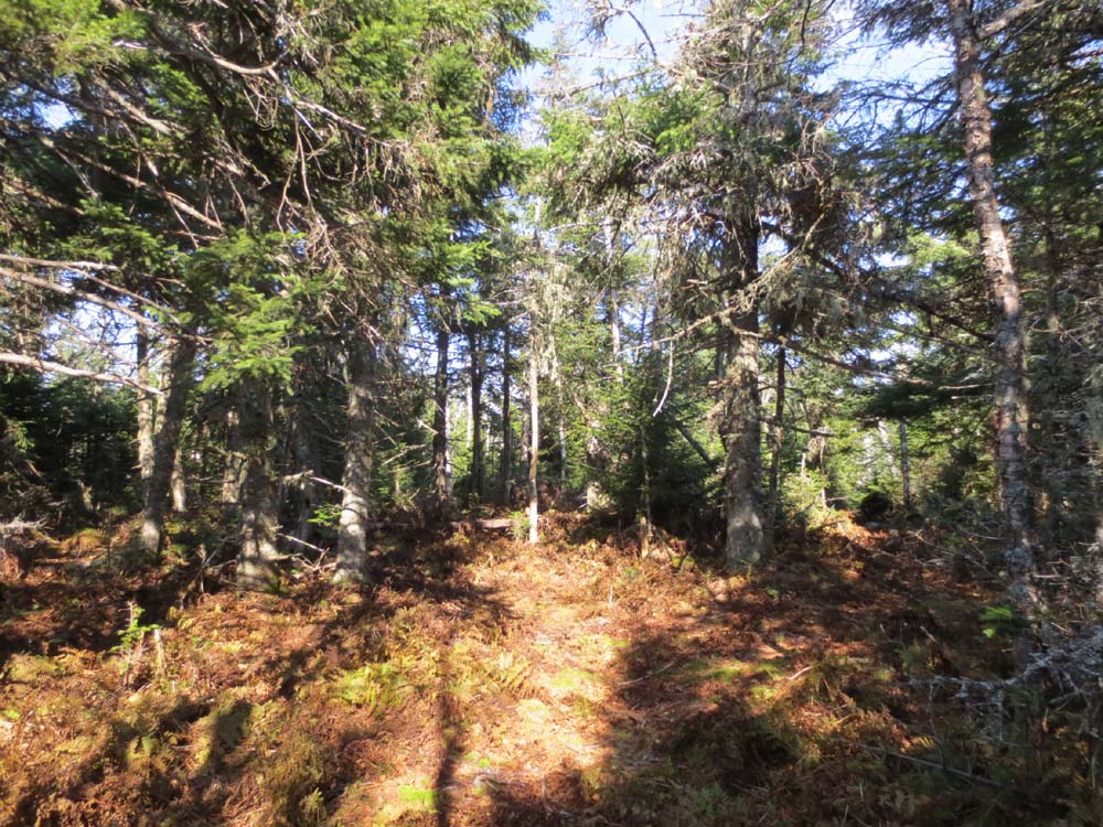
An area of open woods on the way to Mt. Dartmouth
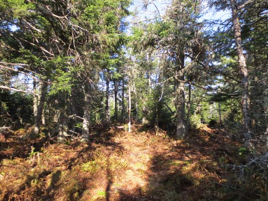
A lack of views from Mt. Dartmouth

Directions to trailhead: From Route 115, take Cherry Mountain Road south, then take a left onto Mill Brook Road. There will eventually be a gated logging road on the left.
Back to Currier Mountain Profile
Back to Mt. Dartmouth Profile
|