Home
States
Colorado
Connecticut
Maine
Massachusetts
New Hampshire
New York
Rhode Island
Utah
Vermont
View All
Lists
NE 4,000 Footers
NE 100 Highest
NH 4,000 Footers
NH 100 Highest
NH 52 With A View
NH Belknap Range
NH Ossipee 10
Links
Trail Conditions
Trip Log
Sunrises
Sunsets
About
|
Dead Water Ridge - Southeast Peak
Stewartstown, NH
Trailheads, measurements, times, distances, and maps are all approximate and relative to the hike(s) as shown below.
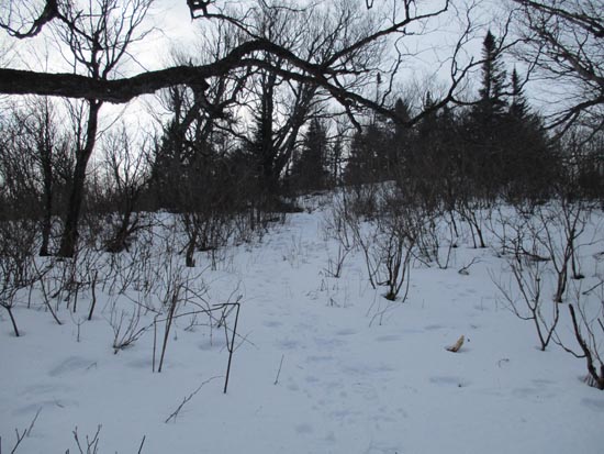
The path to the summit of Southeast Dead Water Ridge
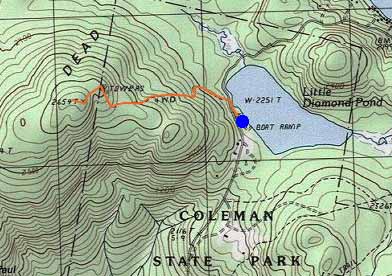
Route: Access road, herd path
From the plowed boat launch, walk briefly north on Diamond Pond Road, then went up an access road to a communications tower. From near the tower, a herd path was followed to the summit.
| Hike Ratings |
|
Getting To Trailhead: |
Easy |
| Destination: |
Dead Water Ridge - Southeast Peak |
|
Length: |
Easy |
|
Steepness: |
Easy |
|
Navigation: |
Moderate |
|
Views: |
Moderate |
|
Crowds: |
Minimal |
|
| Hike Stats |
|
Date Hiked: |
Saturday, February 6, 2016 |
| Parking Elevation: |
2,260' |
| Destination: |
Dead Water Ridge - Southeast Peak |
| Time Elapsed: |
00:25 |
| Trailhead Elevation: |
2,260' |
| Summit Elevation: |
2,659' |
| Vertical Gain: |
405' |
|
|
| Hike Time Elapsed: |
00:56 |
| Hike Vertical Gain: |
410' |
|
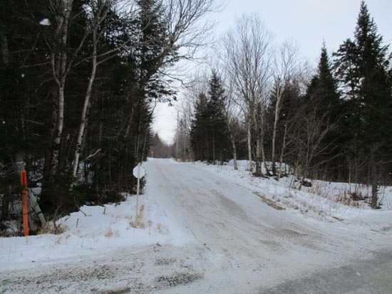
The start of the access road

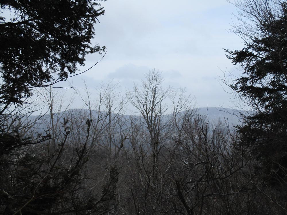
Tumble Dick Mountain and Sugar Hill as seen from near the summit of Southeast Dead Water Ridge

Directions to trailhead: Route 26 East from Colebrook, then Diamond Pond Road. Parking available at boat launch (plowed in winter) on southwest shore of Little Diamond Pond.
Back to Dead Water Ridge - Southeast Peak Profile
|