Home
States
Colorado
Connecticut
Maine
Massachusetts
New Hampshire
New York
Rhode Island
Utah
Vermont
View All
Lists
NE 4,000 Footers
NE 100 Highest
NH 4,000 Footers
NH 100 Highest
NH 52 With A View
NH Belknap Range
NH Ossipee 10
Links
Trail Conditions
Trip Log
Sunrises
Sunsets
About
|
Eagle Cliff
Franconia, NH
Trailheads, measurements, times, distances, and maps are all approximate and relative to the hike(s) as shown below.

Looking up a slide on the way to Eagle Cliff
Route: Greenleaf Trail, bushwhack, (Eagle Cliff), bushwhack, Greenleaf Trail
Starting at the Tramway, we hiked across the flatter portion of the Greenleaf Trail, then turned off it and gained a visual of a chimney/gully of sorts on the northwestern part of Eagle Cliff. Working through open woods, we soon reached a slide and continued uphill on it with decent views into the notch.
At the top of the slide, we hung the contour northwest and soon were approaching the gully we were aiming for. Heading up the slide below it, we were treated with excellent views down the notch and dramatic cliffs. Nearing the top of the chute, there was some scrambling required.
Once on the ridge, we were able to follow either a herd path or the old Eagle Cliff Trail for awhile until it faded out. From there, it was a moderate bushwhack to the true summit, from where we had excellent views in almost every direction.
Continuing a bit south and west, finding some excellent cliff views. After that, we worked back east, then dropped steeply through somewhat thick woods into the back of Eagle Pass, then headed back down the Greenleaf Trail.
| Hike Ratings |
|
Getting To Trailhead: |
Easy |
| Destination: |
Eagle Cliff |
|
Length: |
Moderate |
|
Steepness: |
Very Difficult |
|
Navigation: |
Difficult |
|
Views: |
Excellent |
|
Crowds: |
Minimal |
|
| Hike Stats |
|
Date Hiked: |
Sunday, November 14, 2010 |
| Hike Commenced: |
7:32 AM |
| Parking Elevation: |
1,965' |
| Destination: |
Eagle Cliff |
| Ascent Commenced: |
7:37 AM |
| Summit Reached: |
9:42 AM |
| Time Elapsed: |
02:05 |
| Trailhead Elevation: |
1,980' |
| Summit Elevation: |
3,420' |
| Vertical Gain: |
1,580' |
|
|
| Hike Ended: |
11:41 AM |
| Hike Time Elapsed: |
04:09 |
| Hike Vertical Gain: |
1,655' |
|

The Old Bridle Path trailhead at the back of the parking area

An interesting rock formation

Looking down a chimney on the way to Eagle Cliff

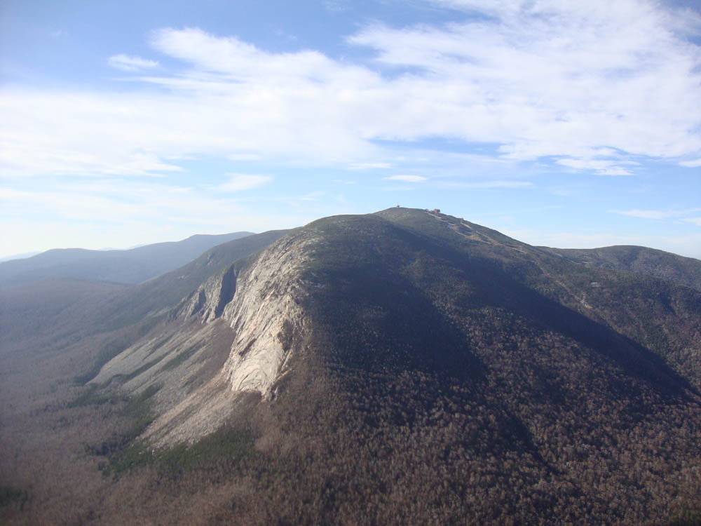
Cannon Mountain as seen from Eagle Cliff


Directions to trailhead: Take I-93 North to the Cannon Mountain Tramway exit, parking in the Tramway parking area. Walk back under the overpass, taking a left and walking partway up the onramp. The Greenleaf Trail trailhead will be on the right.
Back to Eagle Cliff Profile
|