Home
States
Colorado
Connecticut
Maine
Massachusetts
New Hampshire
New York
Rhode Island
Utah
Vermont
View All
Lists
NE 4,000 Footers
NE 100 Highest
NH 4,000 Footers
NH 100 Highest
NH 52 With A View
NH Belknap Range
NH Ossipee 10
Links
Trail Conditions
Trip Log
Sunrises
Sunsets
About
|
Gore Mountain, Mt. Blue, Mt. Blue - North Peak
Stratford, NH, Columbia, NH
Trailheads, measurements, times, distances, and maps are all approximate and relative to the hike(s) as shown below.

The looking down a logging road on the west side of Gore Mountain
Route: Logging roads, bushwhack, (Gore Mountain), bushwhack, (Mt. Blue), herd path, logging roads, herd path, logging roads, herd path, (North Blue), herd path, logging roads
Snow line was at around 2,700 feet. Maybe an inch or two up high.
Followed a series of logging roads much of the way up Gore Mountain from a branch of Brown Road, north of Gore Brook. Pretty mucky in places down low. Had old logging road up to maybe 3,000 feet. Then, some spruce, occasional subpar with snow on the branches. Fortunately the temperature never made it high enough to get the snow wet.
From Gore, we favored the east side of the ridge to Blue (also known as Bunnell Mountain) and eventually hit good moose paths for the final ascent.
From Blue, we went west and almost immediately hit an older logging road, which we followed north. Relatively good going with some nice views in places. As it eventually started to descend, there was a split, at which we went right (northeast). Awhile later, there was another split, where we eventually followed some older skid roads/a herd path down, crossing a newer logging road, and continuing down a herd path to Cleveland Notch, sort of on the eastern side of the meadow.
On the northeastern side of the Notch opening, we found an old woods road, which led much of the way up North Blue. Near a quasi-height of land, a cairn marked a herd path (almost immediately after, we had views to the southeast), which soon led to that recognized summit.
We then doubled back to Cleveland Notch and followed that recently improved logging road back down to the gate where we had spotted, which was maybe a distance of 3-4 miles.
| Hike Ratings |
|
Getting To Trailhead: |
Easy |
| Destination: |
Gore Mountain |
|
Length: |
Moderate |
|
Steepness: |
Difficult |
|
Navigation: |
Very Difficult |
|
Views: |
Minimal |
|
Crowds: |
Minimal |
| Destination: |
Mt. Blue |
|
Length: |
Moderate |
|
Steepness: |
Difficult |
|
Navigation: |
Very Difficult |
|
Views: |
Minimal |
|
Crowds: |
Minimal |
| Destination: |
North Blue |
|
Length: |
Moderate |
|
Steepness: |
Moderate |
|
Navigation: |
Difficult |
|
Views: |
Moderate |
|
Crowds: |
Minimal |
|
| Hike Stats |
|
Date Hiked: |
Wednesday, October 30, 2013 |
| Parking Elevation: |
1,282' |
| Destination: |
Gore Mountain |
| Time Elapsed: |
02:01 |
| Trailhead Elevation: |
1,950' |
| Summit Elevation: |
3,610' |
| Vertical Gain: |
1,700' |
| Destination: |
Mt. Blue |
| Time Elapsed: |
01:11 |
| Trailhead Elevation: |
3,610' |
| Summit Elevation: |
3,723' |
| Vertical Gain: |
423' |
| Destination: |
North Blue |
| Time Elapsed: |
01:24 |
| Trailhead Elevation: |
3,723' |
| Summit Elevation: |
3,190' |
| Vertical Gain: |
500' |
|
|
| Hike Time Elapsed: |
06:40 |
| Hike Vertical Gain: |
2,673' |
|

Starting a roadwalk (right) near a gate on a road beyond Brown Road

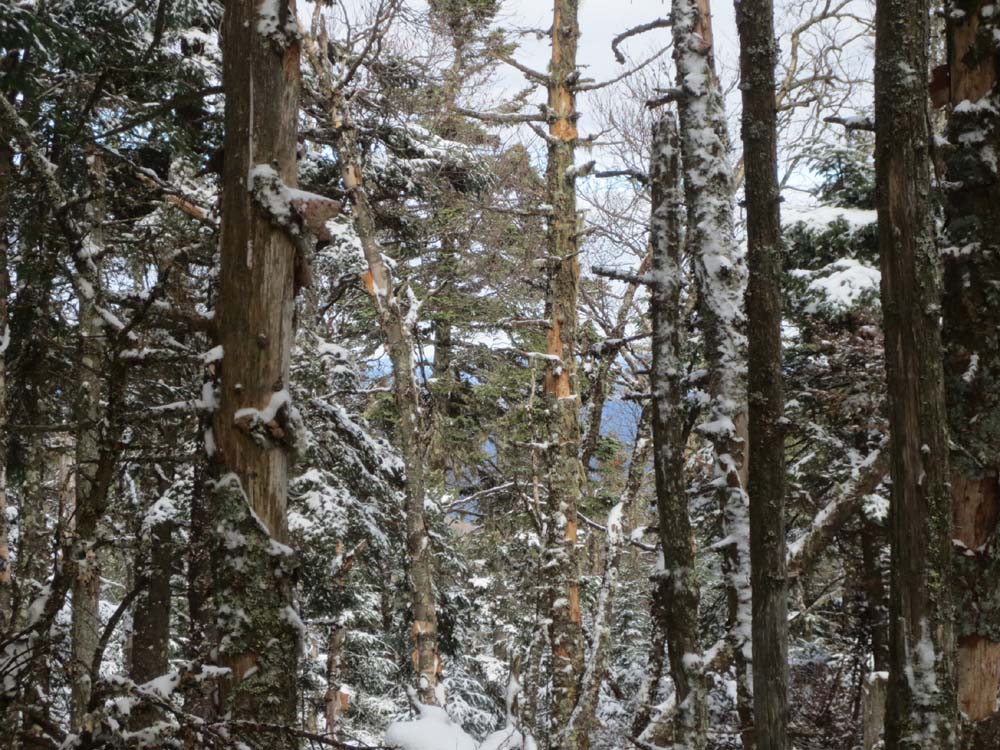
A lack of views on Gore Mountain

Bushwhacking between Gore Mountain and Mt. Blue

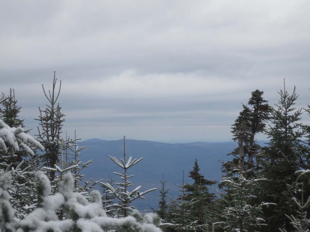
Slight views northwest from Mt. Blue

The old road up North Blue

Cleveland Notch

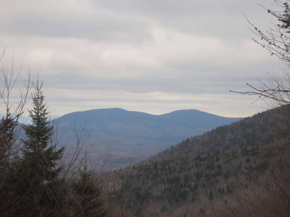
Looking southeast toward Mt. Muise from the old road on North Blue


Directions to trailhead: Take US 3 North from North Stratford, then take a right onto Meriden Hill Road. Bear left at a junction (gated road right). Take a right onto Brown Road. A few minutes later, when Brown Hill Road turns sharply right downhill, bear left. Soon thereafter, take a right. This road generally stays to the north of Gore Brook, however it is not driveable for too long. To get to the western side of Cleveland Notch, return to US 3, head north, then take a right onto Washburn Road. At around 1,350 feet in elevation, bear left, then park near a gate. The gated road continues to Cleveland Notch.
Back to Gore Mountain Profile
Back to Mt. Blue Profile
Back to Mt. Blue - North Peak Profile
|