Home
States
Colorado
Connecticut
Maine
Massachusetts
New Hampshire
New York
Rhode Island
Utah
Vermont
View All
Lists
NE 4,000 Footers
NE 100 Highest
NH 4,000 Footers
NH 100 Highest
NH 52 With A View
NH Belknap Range
NH Ossipee 10
Links
Trail Conditions
Trip Log
Sunrises
Sunsets
About
|
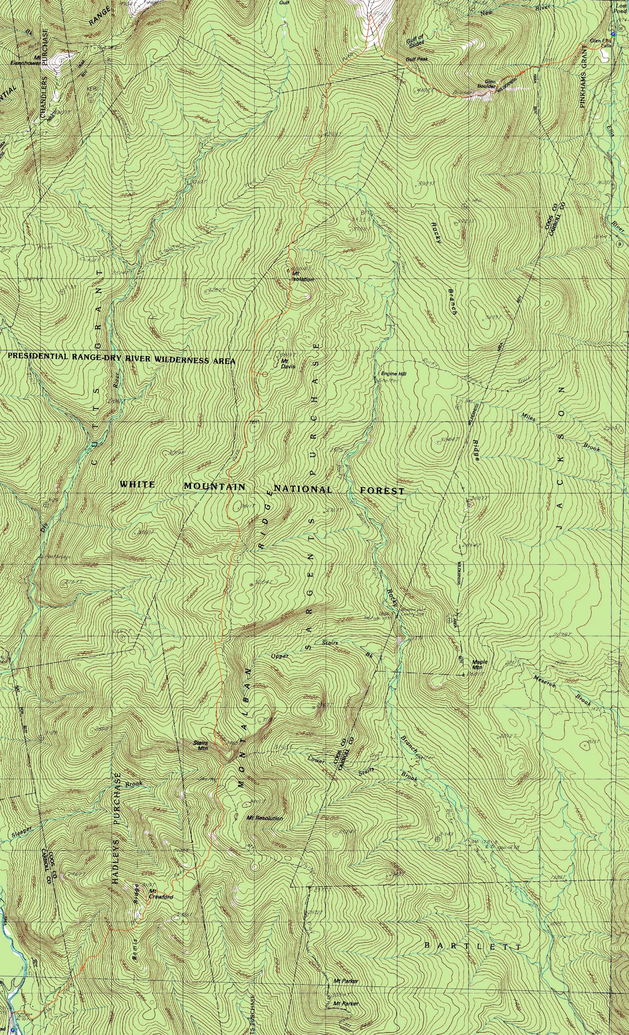
Gulf Peak, Mt. Isolation, Mt. Davis, Stairs Mountain, Mt. Crawford
Pinkham's Grant, Sargent's Purchase, NH, Cutt's Grant, NH, Hadley's Purchase, NH, Hart's Location, NH
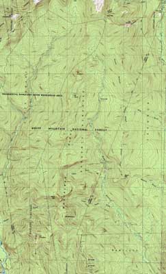
Trailheads, measurements, times, distances, and maps are all approximate and relative to the hike(s) as shown below.
Looking up the Glen Boulder Trail near Glen Boulder
Route: Glen Boulder Trail, (Gulf Peak), Glen Boulder Trail, Davis Path, Isolation Spur, (Mt. Isolation), Isolation Spur, Davis Path, spur trail, (Mt. Davis), spur trail, Davis Path, spur trail, (Stairs Mountain), spur trail, Davis Path, spur trail, (Mt. Crawford), spur trail, Davis Path
Ever since hiking to Stairs Mountain and thoroughly enjoying the Davis Path north of Mt. Crawford, I had a desire to check out the rest of it.
After meeting at the Davis Path parking area on Route 302, we headed up to the Glen Ellis parking area on Route 16. Though the Presidentials were in the clouds, Glen Boulder was in the clear - not a bad sign.
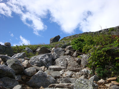
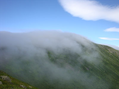
Despite the weeks of near-constant rain, the scrambles on the Glen Boulder Trail were fortunately dry. After taking a break at Glen Boulder, we continued to the summit of Gulf Peak, beyond which fog was lingering. Bitter (for summer anyway) winds forced us to put on our shells as we pushed our way into the mist. While normally the descent of the Davis Path from the Glen Boulder Trail junction is one of my favorite stretches of trail, the wind and limited visibility took away some of the appeal.
Back into the trees, I was shocked to see how wide the Davis Path was - perhaps as a result of ice storm damage, the trail was a perhaps six foot wide swath - a far cry from how I recalled it being. Upon reaching the Isolation Trail junctions, it returned to the width I recalled. After jumping over mud pits and big puddles, we finally reached the spur trail to Mt. Isolation.
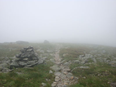
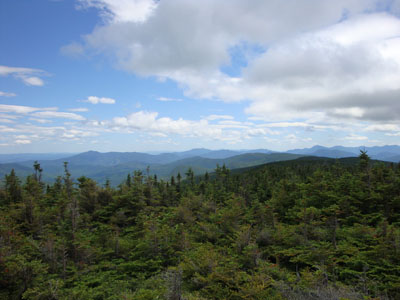
While initially we had very little in way of views, the clouds lifted as we had lunch, revealing the southern-southern Presidentials, as well as the Sandwich Range and the North Conway-area peaks.
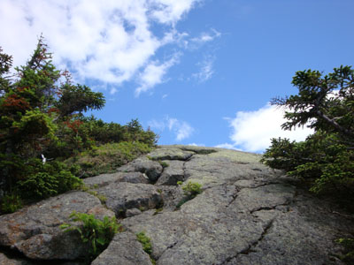
Our next stop was Mt. Davis. Back on the Davis Path, we continued to dodge mud pits as we worked our way to the next spur path. Reaching it, we were soon scrambling up the rock slabs - a bit slippery after the recent wet weather. While we were tempted to go to the true summit of Davis, the sea of thick spruce between it and the spur trail, as well as the prospect of a lot more southbound hiking remaining, convinced us to be satisfied enough with the tremendous 360 degree views offered from the 'fake' summit.
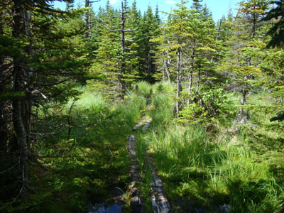
The Davis Path between Davis and Stairs seemed to go on forever - the mud pits certainly didn't help things go by quickly. There were some nice areas, however, such as small quasi-meadows and interesting cols.
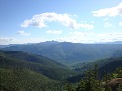
The views from the top of the giant stairs of Stairs Mountain were tremendous - the best of the day thus far, thanks to the continually improving weather. After taking a leisurely break, we set off for Mt. Crawford, once again jumping over pooled water and mud pits.
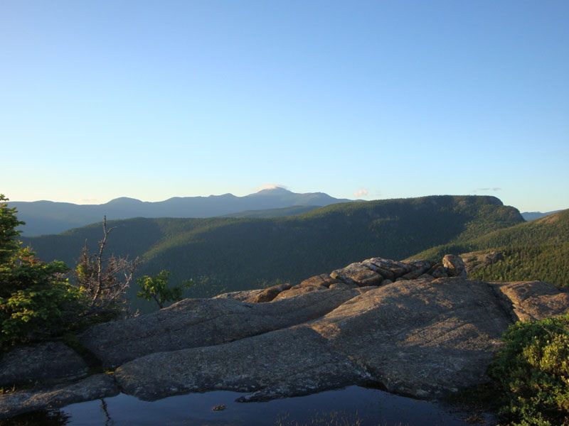
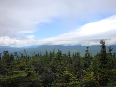
The views from Mt. Crawford were probably the best of the day, as the clouds had lifted off all visible peaks (with the exception of Mt. Washington). Early evening sun provided very interesting shadows, thus only enhancing the views.
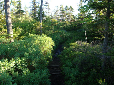
Still ahead of us was the rough descent of the Davis Path below Mt. Crawford - while not as rough as I remembered (perhaps some more trailwork had been done), it was nonetheless a bit painful at the end of the day. Reaching the suspension bridge a little bit after the sunset, the parking lot was a welcome sight for sore feet.
| Hike Ratings |
|
Getting To Trailhead: |
Easy |
| Destination: |
Gulf Peak (Slide Peak) |
|
Length: |
Moderate |
|
Steepness: |
Very Difficult |
|
Navigation: |
Easy |
|
Views: |
Excellent |
|
Crowds: |
Minimal |
| Destination: |
Mt. Isolation |
|
Length: |
Difficult |
|
Steepness: |
Difficult |
|
Navigation: |
Moderate |
|
Views: |
Excellent |
|
Crowds: |
Moderate |
| Destination: |
Mt. Davis |
|
Length: |
Difficult |
|
Steepness: |
Very Difficult |
|
Navigation: |
Easy |
|
Views: |
Excellent |
|
Crowds: |
Minimal |
| Destination: |
Stairs Mountain |
|
Length: |
Very Difficult |
|
Steepness: |
Difficult |
|
Navigation: |
Moderate |
|
Views: |
Excellent |
|
Crowds: |
Minimal |
| Destination: |
Mt. Crawford |
|
Length: |
Very Difficult |
|
Steepness: |
Difficult |
|
Navigation: |
Easy |
|
Views: |
Excellent |
|
Crowds: |
Minimal |
|
| Hike Stats |
|
Date Hiked: |
Sunday, July 5, 2009 |
| Hike Commenced: |
8:01 AM |
| Parking Elevation: |
1,975' |
| Destination: |
Gulf Peak (Slide Peak) |
| Ascent Commenced: |
8:01 AM |
| Summit Reached: |
10:38 AM |
| Time Elapsed: |
02:37 |
| Trailhead Elevation: |
1,975' |
| Summit Elevation: |
4,806' |
| Distance: |
2.6 miles |
| Vertical Gain: |
2,851' |
| Destination: |
Mt. Isolation |
| Ascent Commenced: |
10:44 AM |
| Summit Reached: |
1:06 PM |
| Time Elapsed: |
02:22 |
| Trailhead Elevation: |
4,806' |
| Summit Elevation: |
4,004 |
| Distance: |
3.4 miles |
| Vertical Gain: |
808' |
| Destination: |
Mt. Davis |
| Ascent Commenced: |
1:43 PM |
| Summit Reached: |
2:33 PM |
| Time Elapsed: |
00:50 |
| Trailhead Elevation: |
4,004' |
| Summit Elevation: |
3,815 |
| Distance: |
1.4 miles |
| Vertical Gain: |
365' |
| Destination: |
Stairs Mountain |
| Ascent Commenced: |
2:48 PM |
| Summit Reached: |
5:34 PM |
| Time Elapsed: |
02:46 |
| Trailhead Elevation: |
3,815' |
| Summit Elevation: |
3,463 |
| Distance: |
4.5 miles |
| Vertical Gain: |
853' |
| Destination: |
Mt. Crawford |
| Ascent Commenced: |
6:09 PM |
| Summit Reached: |
7:32 PM |
| Time Elapsed: |
01:23 |
| Trailhead Elevation: |
3,463' |
| Summit Elevation: |
3,119' |
| Distance: |
2.7 miles |
| Vertical Gain: |
720' |
|
|
| Hike Ended: |
9:14 PM |
| Hike Time Elapsed: |
13:13 |
| Hike Vertical Gain: |
5,617' |
|
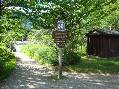
The Glen Boulder Trail trailhead at the Glen Ellis Falls parking area
Looking toward Boott Spur from Gulf Peak
Looking down the Davis Path on the way to Mt. Isolation
Looking at Mt. Jackson from Mt. Isolation
Looking up the spur trail to the Mt. Davis viewpoint
Looking south from the Mt. Davis viewpoint
The Davis Path on the way to Stairs Mountain
Looking at Bemis and Carrigain from the Stairs Mountain vista
The Davis Path on the way to Mt. Crawford
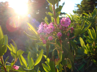
Sheep laurel near the summit of Mt. Crawford

Looking at Stairs Mountain and Mt. Washington from Mt. Crawford

Directions to trailhead: Take Route 16 North from Jackson. The Glen Ellis Falls WMNF fee parking area will be on the left, before the height of land. The Glen Boulder Trail trailhead is located next to the restrooms. The Davis Path parking area is located west of Sawyer River Road on Route 302.
Back to Gulf Peak Profile
Back to Mt. Isolation Profile
Back to Mt. Davis Profile
Back to Stairs Mountain Profile
Back to Mt. Crawford Profile
|