Home
States
Colorado
Connecticut
Maine
Massachusetts
New Hampshire
New York
Rhode Island
Utah
Vermont
View All
Lists
NE 4,000 Footers
NE 100 Highest
NH 4,000 Footers
NH 100 Highest
NH 52 With A View
NH Belknap Range
NH Ossipee 10
Links
Trail Conditions
Trip Log
Sunrises
Sunsets
About
|
Howe Peak
Shelburne, NH
Trailheads, measurements, times, distances, and maps are all approximate and relative to the hike(s) as shown below.
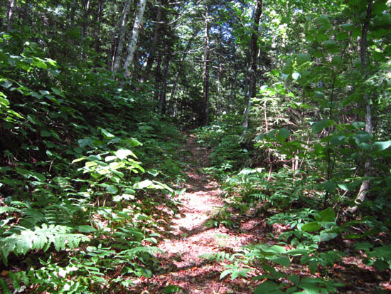
Looking up the Shelburne Trail
Route: Shelburne Trail, bushwhack
First part of the Shelburne Trail was a gravel road walk, followed by a regular trail. From the col, we followed the ridge, occasionally picking up the abandoned Kenduskeag Trail segment. Some boggy areas, some ledgy areas with cairns.
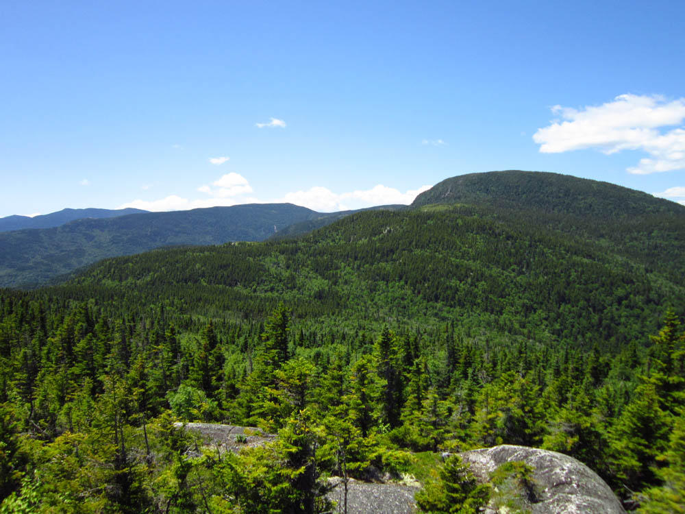
Excellent views from the ledges at and around the summit of Howe Peak. Plenty of black flies too.
| Hike Ratings |
|
Getting To Trailhead: |
Easy |
| Destination: |
Howe Peak |
|
Length: |
Moderate |
|
Steepness: |
Difficult |
|
Navigation: |
Difficult |
|
Views: |
Excellent |
|
Crowds: |
Minimal |
|
| Hike Stats |
|
Date Hiked: |
Sunday, June 24, 2012 |
| Parking Elevation: |
850' |
| Destination: |
Howe Peak |
| Time Elapsed: |
03:03 |
| Trailhead Elevation: |
850' |
| Summit Elevation: |
2,966' |
| Vertical Gain: |
2,266' |
|
|
| Hike Time Elapsed: |
05:56 |
| Hike Vertical Gain: |
2,416' |
|
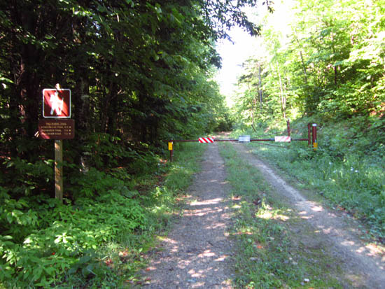
The Shelburne Trail trailhead
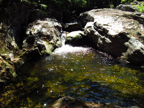
A pool near the logging road portion of the Shelburne Trail
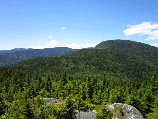
Looking at the Moriahs from near the summit of Howe Peak
Directions to trailhead: Take US 2 east from Gorham and the Appalachian Trail. The forest road leading to the Shelburne Trail will eventually be on the right with a hiker sign. There is a small parking lot at the trailhead gate.
Back to Howe Peak Profile
|