Home
States
Colorado
Connecticut
Maine
Massachusetts
New Hampshire
New York
Rhode Island
Utah
Vermont
View All
Lists
NE 4,000 Footers
NE 100 Highest
NH 4,000 Footers
NH 100 Highest
NH 52 With A View
NH Belknap Range
NH Ossipee 10
Links
Trail Conditions
Trip Log
Sunrises
Sunsets
About
|
Hoyt Hill
Orange, NH
Trailheads, measurements, times, distances, and maps are all approximate and relative to the hike(s) as shown below.
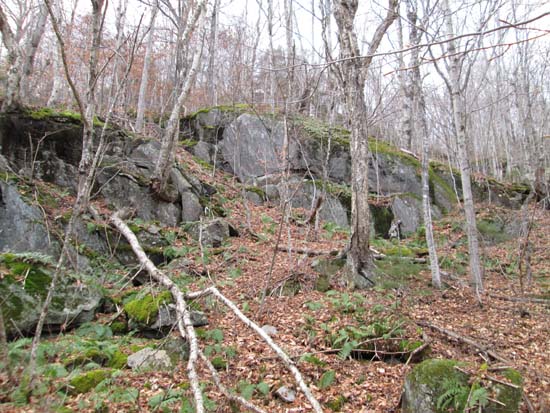
Bushwhacking up the northeast face of Hoyt Hill
Route: Bushwhack
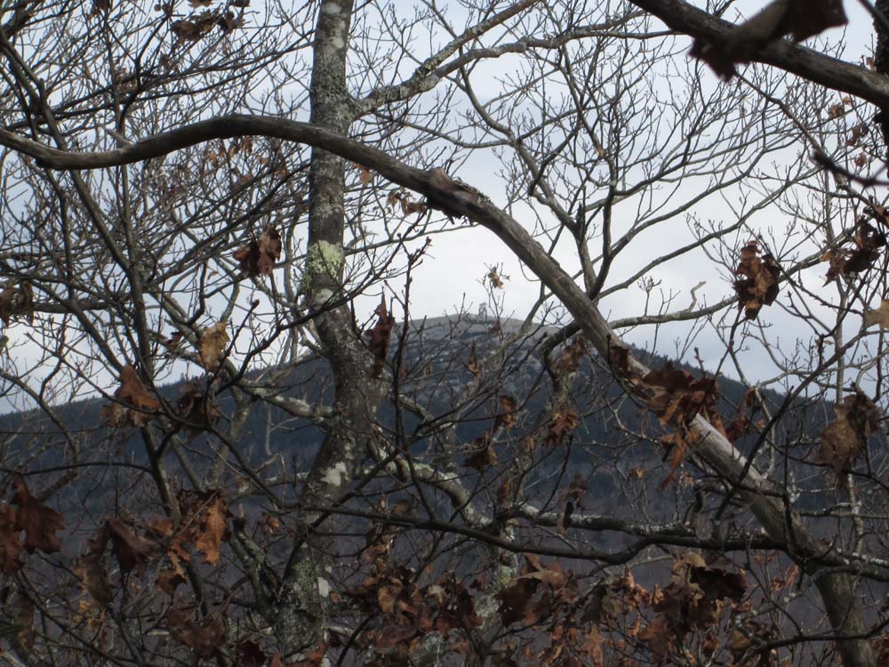
Relatively quick bushwhack up to Hoyt Hill (located southwest of Mt. Cardigan) in snow free and generally dry conditions. Had to wrap around a few cliff bands, but otherwise it was pretty straight forward. Some views through the trees from near the summit, but nothing open view-wise (some open meadows on the ridge). We didn't venture down to the southern peak, so it's possible there could be a view down there.
| Hike Ratings |
|
Getting To Trailhead: |
Moderate |
| Destination: |
Hoyt Hill |
|
Length: |
Moderate |
|
Steepness: |
Difficult |
|
Navigation: |
Difficult |
|
Views: |
Minimal |
|
Crowds: |
Minimal |
|
| Hike Stats |
|
Date Hiked: |
Sunday, November 9, 2014 |
| Parking Elevation: |
1,650' |
| Destination: |
Hoyt Hill |
| Time Elapsed: |
01:17 |
| Trailhead Elevation: |
1,650' |
| Summit Elevation: |
2,034' |
| Vertical Gain: |
434' |
|
|
| Hike Time Elapsed: |
02:41 |
| Hike Vertical Gain: |
504' |
|
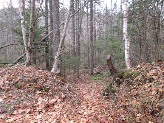
Leaving Burnt Hill Road
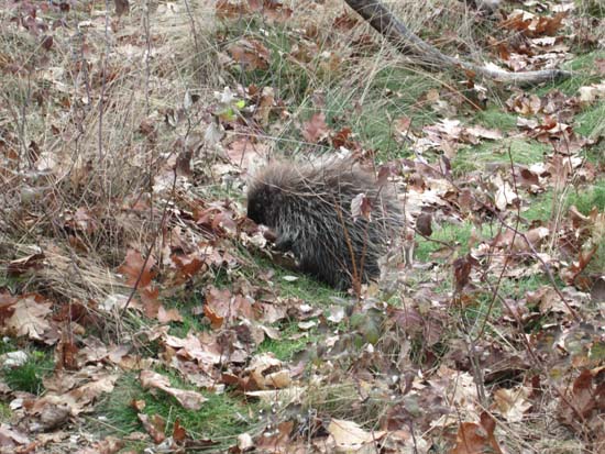
Porcupine near the summit

Looking at Mt. Cardigan from near the summit of Hoyt Hill


Directions to trailhead: There are multiple pull offs on Burnt Hill Road southeast of the Mt. Cardigan West Ridge Trail parking lot.
Back to Hoyt Hill Profile
|