Home
States
Colorado
Connecticut
Maine
Massachusetts
New Hampshire
New York
Rhode Island
Utah
Vermont
View All
Lists
NE 4,000 Footers
NE 100 Highest
NH 4,000 Footers
NH 100 Highest
NH 52 With A View
NH Belknap Range
NH Ossipee 10
Links
Trail Conditions
Trip Log
Sunrises
Sunsets
About
|
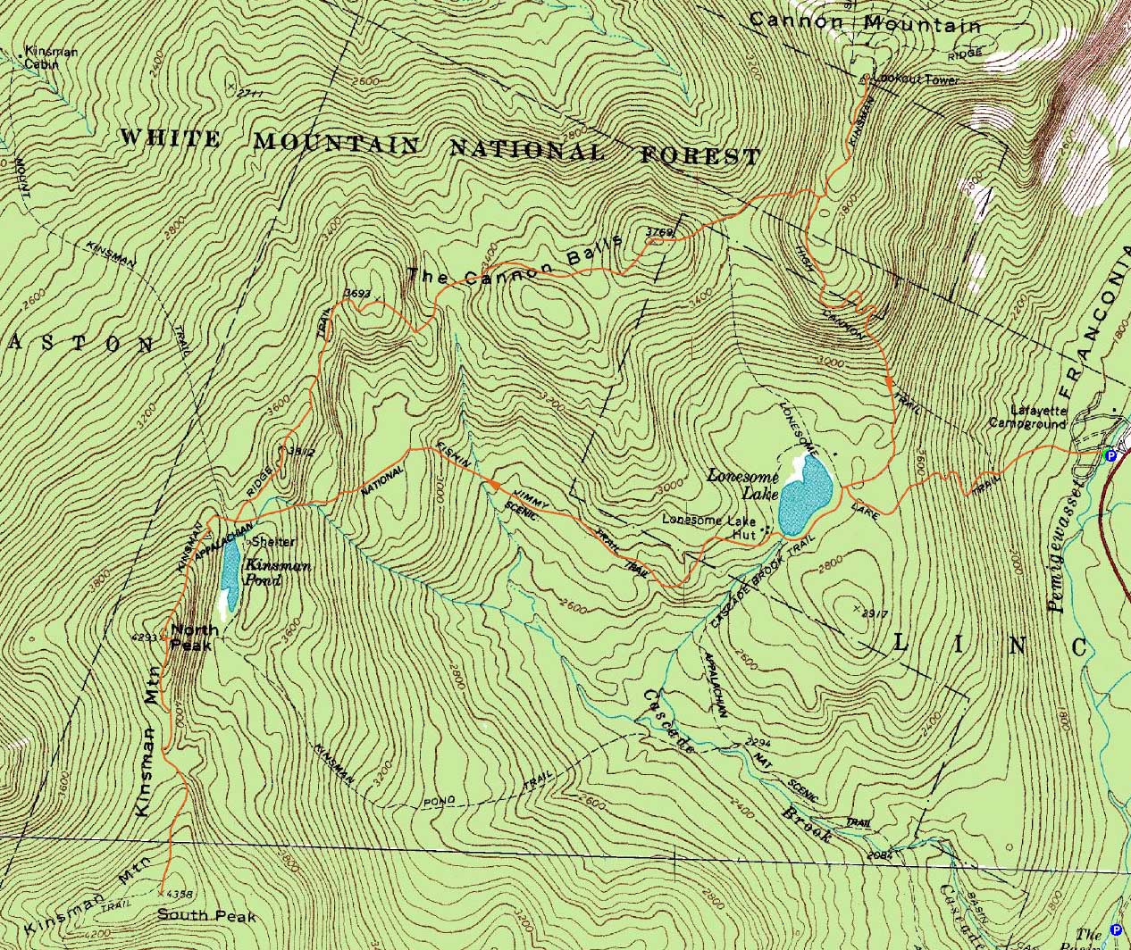
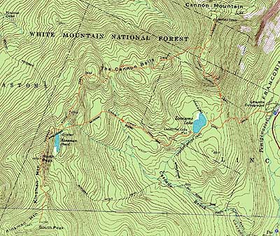
Kinsman Mountain (North Peak), Kinsman Mountain (South Peak), Northeast Cannonball, Cannon Mountain
Easton, NH, Lincoln, NH, Franconia, NH
Trailheads, measurements, times, distances, and maps are all approximate and relative to the hike(s) as shown below.
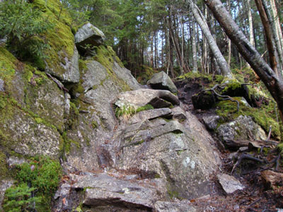
Looking up the Fishin' Jimmy Trail
Route: Lonesome Lake Trail, Cascade Brook Trail, Fishin' Jimmy Trail, Kinsman Ridge Trail, (North Kinsman), Kinsman Ridge Trail, (South Kinsman), Kinsman Ridge Trail, (North Kinsman Trail), Kinsman Ridge Trail, (Northeast Cannonball), Kinsman Ridge Trail, (Cannon Mountain), Kinsman Ridge Trail, Hi Cannon Trail, Dodge Cutoff, Lonesome Lake Trail
After heavy rains the morning before, the forecast was looking good. While the trails were a bit wet during the ascent, the sun was starting to break through the clouds. Having not been on the Fishin' Jimmy Trail in a few years, I had forgotten about the steep ledge portions of it - not too much fun when wet!
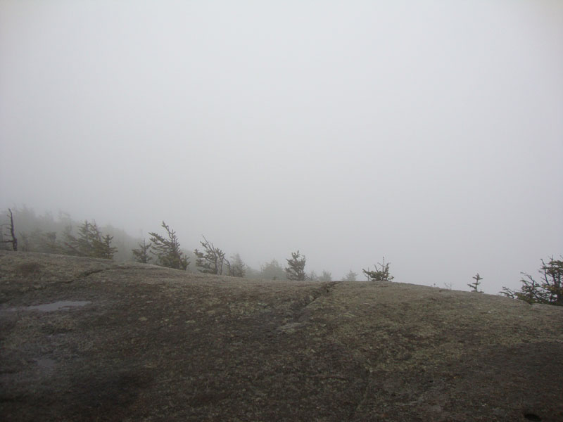
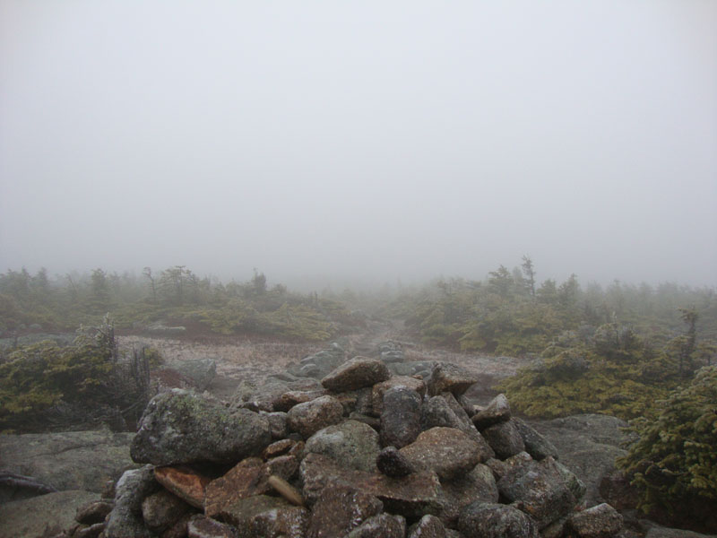
Nearing North Kinsman, there was a bit of rime ice - and a whole lot of cloud. Continuing to South Kinsman, the summit was covered in a fine ice glaze. Once again, still in a cloud.
Now heading northbound through the Cannonballs, I kept my eye open for any hint of the former Mt. Kinsman Ski Trail. With not too many details of the trail available, I believe I found a few possibilities. Beyond that, the trail dragged on through numerous ups and downs, prior to reaching the clouded in Northeast Cannonball highpoint.
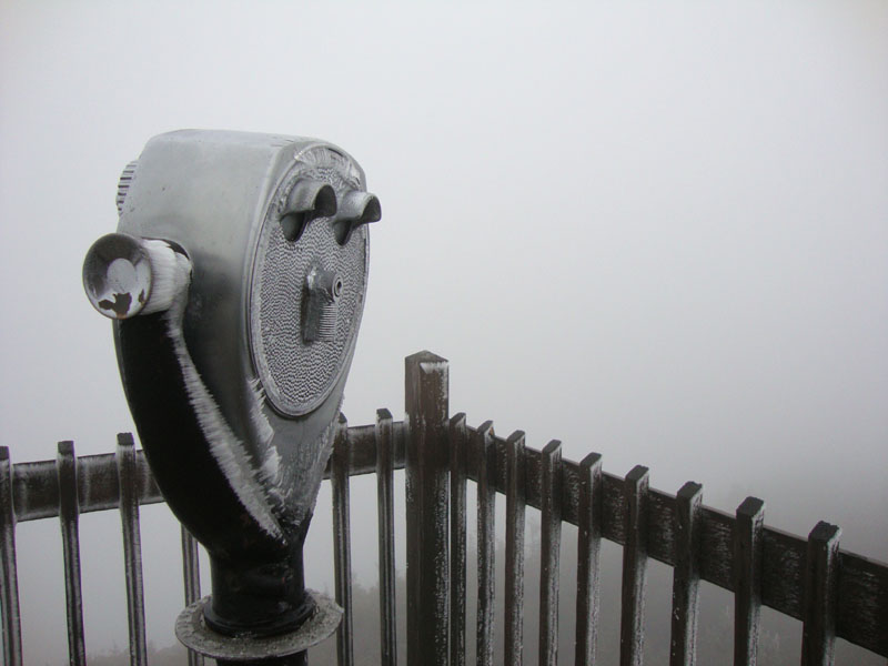
In the col between Northeast Cannonball and Cannon Mountain, I could see the valley below was sunny - perhaps things would lift by the time I reached the summit of Cannon. Not the case, though.
For the descent, I took the Hi Cannon Trail - and emerged below the clouds after a fraction of a mile, getting some nice views from the many ledges on the trail. Below there, I took a right onto the Dodge Cutoff. After the nasty, rocky, and eroded nature of the Hi Cannon Trail, the Dodge Cutoff was a dream. Though not well marked, I was able to follow it with reasonable ease back to Lonesome Lake. From there, it was a bland walk back to Lafayette Place.
| Hike Ratings |
|
Getting To Trailhead: |
Easy |
| Destination: |
Kinsman Mountain (North Peak) |
|
Length: |
Moderate |
|
Steepness: |
Very Difficult |
|
Navigation: |
Moderate |
|
Views: |
Minimal (due to weather) |
|
Crowds: |
Minimal |
| Destination: |
Kinsman Mountain (South Peak) |
|
Length: |
Moderate |
|
Steepness: |
Difficult |
|
Navigation: |
Easy |
|
Views: |
Minimal (due to weather) |
|
Crowds: |
Minimal |
| Destination: |
Kinsman Mountain (North Peak) |
|
Length: |
Moderate |
|
Steepness: |
Difficult |
|
Navigation: |
Moderate |
|
Views: |
Minimal (due to weather) |
|
Crowds: |
Heavy |
| Destination: |
Northeast Cannonball |
|
Length: |
Moderate |
|
Steepness: |
Very Difficult |
|
Navigation: |
Easy |
|
Views: |
Minimal (due to weather) |
|
Crowds: |
Minimal |
| Destination: |
Cannon Mountain |
|
Length: |
Difficult |
|
Steepness: |
Very Difficult |
|
Navigation: |
Easy |
|
Views: |
Minimal (due to weather) |
|
Crowds: |
Moderate |
|
| Hike Stats |
|
Date Hiked: |
Saturday, November 21, 2009 |
| Hike Commenced: |
8:22 AM |
| Parking Elevation: |
1,750' |
| Destination: |
Kinsman Mountain (North Peak) |
| Ascent Commenced: |
8:22 AM |
| Summit Reached: |
10:35 AM |
| Time Elapsed: |
02:13 |
| Trailhead Elevation: |
1,750' |
| Summit Elevation: |
4,293' |
| Vertical Gain: |
2,738' |
| Destination: |
Kinsman Mountain (South Peak) |
| Ascent Commenced: |
10:36 AM |
| Summit Reached: |
11:07 AM |
| Time Elapsed: |
00:31 |
| Trailhead Elevation: |
4,293' |
| Summit Elevation: |
4,358' |
| Distance: |
.9 mile |
| Vertical Gain: |
373' |
| Destination: |
Kinsman Mountain (North Peak) |
| Ascent Commenced: |
11:07 AM |
| Summit Reached: |
11:45 PM |
| Time Elapsed: |
00:38 |
| Trailhead Elevation: |
4,358' |
| Summit Elevation: |
4,293' |
| Distance: |
.9 mile |
| Vertical Gain: |
308' |
| Destination: |
Northeast Cannonball |
| Ascent Commenced: |
11:47 AM |
| Summit Reached: |
1:30 PM |
| Time Elapsed: |
01:43 |
| Trailhead Elevation: |
4,293' |
| Summit Elevation: |
3,769' |
| Vertical Gain: |
991' |
| Destination: |
Cannon Mountain |
| Ascent Commenced: |
1:35 PM |
| Summit Reached: |
2:14 PM |
| Time Elapsed: |
00:39 |
| Trailhead Elevation: |
3,769' |
| Summit Elevation: |
4,100' |
| Vertical Gain: |
735' |
|
|
| Hike Ended: |
4:12 PM |
| Hike Time Elapsed: |
7:50 |
| Hike Vertical Gain: |
5,285' |
|
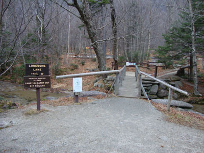
The Lonesome Lake Trail trailhead at Lafayette Place
Fog as seen from North Kinsman
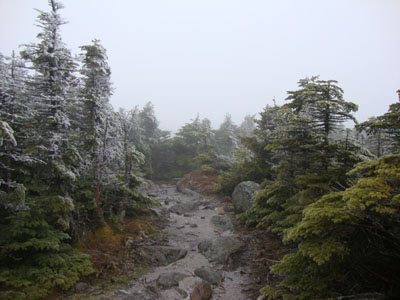
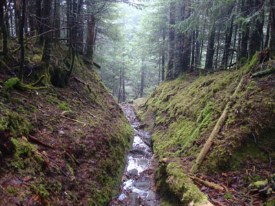
The Kinsman Ridge Trail between the Kinsmans
Fog as seen from South Kinsman
The Kinsman Ridge Trail between North Kinsman and Northeast Cannonball
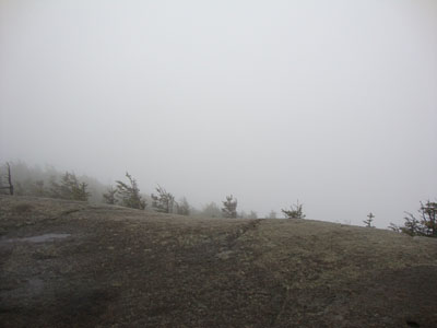
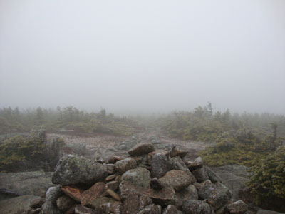
Fog as seen from Northeast Cannonball
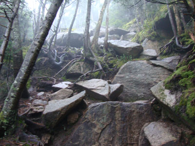
The nasty, eroded ascent of Cannon Mountain on the Kinsman Ridge Trail
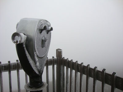
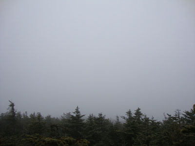
Fog as seen from Cannon Mountain
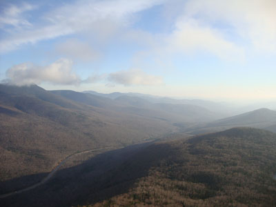
Views emerge from the Hi Cannon Trail

Directions to trailhead: Take I-93 South to the Lafayette Place exit. The Lonesome Lake Trail starts on the foot bridge at the hiker parking lot.
Back to Kinsman Mountain (North Peak) Profile
Back to Kinsman Mountain (South Peak) Profile
Back to Northeast Cannonball Profile
Back to Cannon Mountain Profile
|