Home
States
Colorado
Connecticut
Maine
Massachusetts
New Hampshire
New York
Rhode Island
Utah
Vermont
View All
Lists
NE 4,000 Footers
NE 100 Highest
NH 4,000 Footers
NH 100 Highest
NH 52 With A View
NH Belknap Range
NH Ossipee 10
Links
Trail Conditions
Trip Log
Sunrises
Sunsets
About
|
Magalloway Mountain
Pittsburg, NH
Trailheads, measurements, times, distances, and maps are all approximate and relative to the hike(s) as shown below.

The Coot Trail
Route: Coot Trail
A slight dusting of snow on the trail and superb views from the fire tower.
| Hike Ratings |
|
Getting To Trailhead: |
Moderate |
| Destination: |
Magalloway Mountain |
|
Length: |
Moderate |
|
Steepness: |
Difficult |
|
Navigation: |
Easy |
|
Views: |
Excellent |
|
Crowds: |
Easy |
|
| Hike Stats |
|
Date Hiked: |
Sunday, November 6, 2011 |
| Parking Elevation: |
2,600' |
| Destination: |
Magalloway Mountain |
| Time Elapsed: |
00:21 |
| Trailhead Elevation: |
2,600' |
| Summit Elevation: |
3,384' |
| Vertical Gain: |
804' |
|
|
| Hike Time Elapsed: |
00:50 |
| Hike Vertical Gain: |
824' |
|

The Coot trailhead at the end of the logging road

Looking toward Grafton Notch from the Magalloway Mountain fire tower

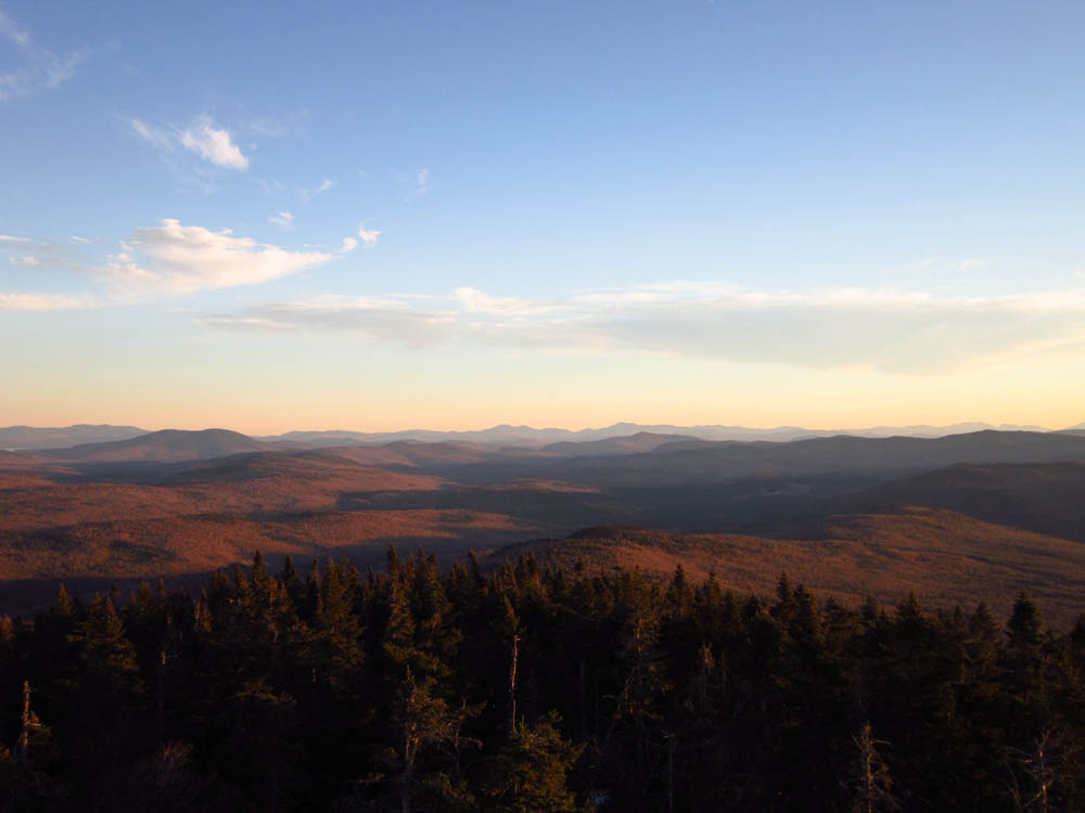
Pre-sunset colors as seen from the Magalloway Mountain fire tower


Directions to trailhead: The Coot Trail starts at the end of a logging road accessible from Magalloway Road. The Bobcat Trail starts just before the Coot Trail.
Back to Magalloway Mountain Profile
|