Home
States
Colorado
Connecticut
Maine
Massachusetts
New Hampshire
New York
Rhode Island
Utah
Vermont
View All
Lists
NE 4,000 Footers
NE 100 Highest
NH 4,000 Footers
NH 100 Highest
NH 52 With A View
NH Belknap Range
NH Ossipee 10
Links
Trail Conditions
Trip Log
Sunrises
Sunsets
About
|
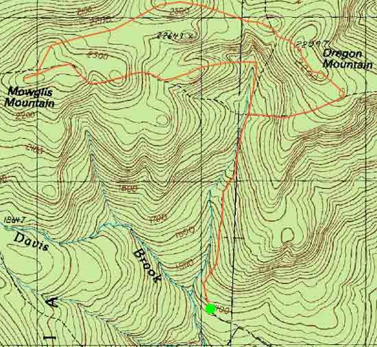
Mowglis Mountain, Oregon Mountain
Alexandria, NH
Trailheads, measurements, times, distances, and maps are all approximate and relative to the hike(s) as shown below.
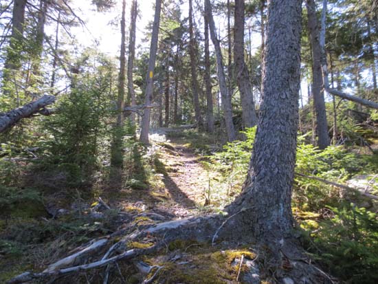
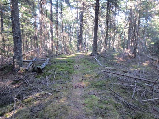
The Elwell Traill on the way to Mowglis Mountain
Route: Old Dicey Road, Elwell Trail, (Mowglis Mountain), Oregon Mountain Trail, (Oregon Mountain), Oregon Mountain Trail, Elwell Trail, Old Dicey Road
Old Dicey Road was generally dry and dusty, except for a mucky section prior to the top of it. Weird to see an SUV abandoned on it with up-to-date license plate stickers and smashed out windows.
Elwell Trail from the road to Mowglis was fairly well marked and generally dry. Some views via an adjacent logging cut prior to the summit.
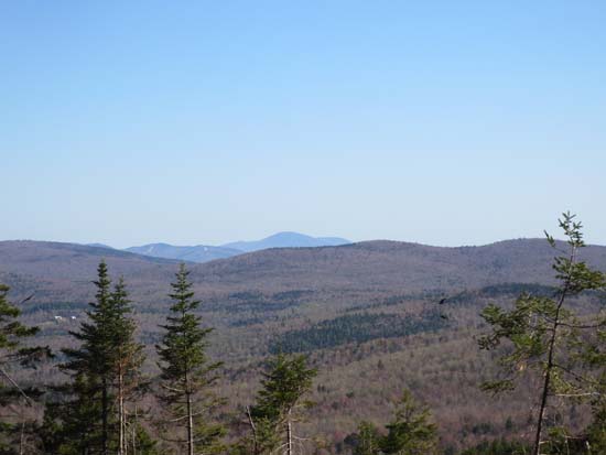
Oregon Mountain Trail was a little more vague, but could be followed with caution. Found a northern view via a little bump a few minutes east of Mowglis. No views from Oregon Mountain proper, but a directional view from the southeastern summit of Oregon Mountain. Back on the Elwell Trail westbound, pretty well marked. Kind of neat to hear the howling wolves, lower on the mountain.
| Hike Ratings |
|
Getting To Trailhead: |
Moderate |
| Destination: |
Mowglis Mountain |
|
Length: |
Moderate |
|
Steepness: |
Difficult |
|
Navigation: |
Easy |
|
Views: |
Moderate |
|
Crowds: |
Minimal |
| Destination: |
Oregon Mountain |
|
Length: |
Moderate |
|
Steepness: |
Difficult |
|
Navigation: |
Moderate |
|
Views: |
Minimal |
|
Crowds: |
Minimal |
|
| Hike Stats |
|
Date Hiked: |
Monday, May 6, 2013 |
| Parking Elevation: |
1,400' |
| Destination: |
Mowglis Mountain |
| Time Elapsed: |
01:31 |
| Trailhead Elevation: |
1,400' |
| Summit Elevation: |
2,370' |
| Vertical Gain: |
1,110' |
| Destination: |
Oregon Mountain |
| Time Elapsed: |
00:26 |
| Trailhead Elevation: |
2,370' |
| Summit Elevation: |
2,239' |
| Vertical Gain: |
259' |
|
|
| Hike Time Elapsed: |
03:47 |
| Hike Vertical Gain: |
1,469' |
|

Old Dicey Road just past the Back 80 Trail junction
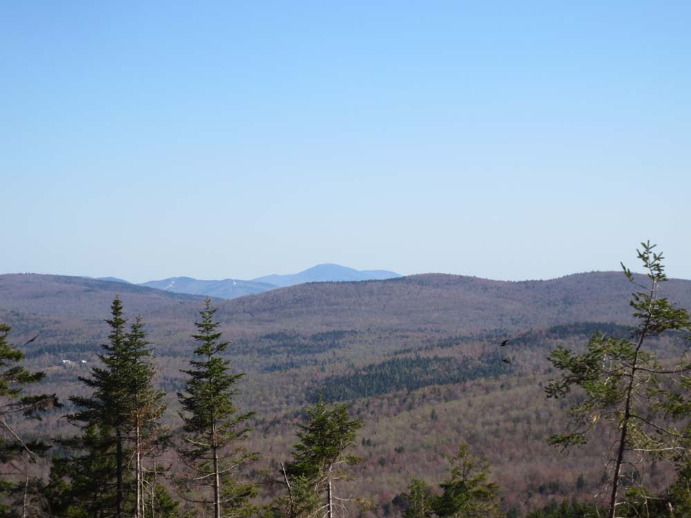
Looking south toward Mt. Kearsarge from near the summit of Mowglis Mountain
The Oregon Mountain Trail to Oregon Mountain

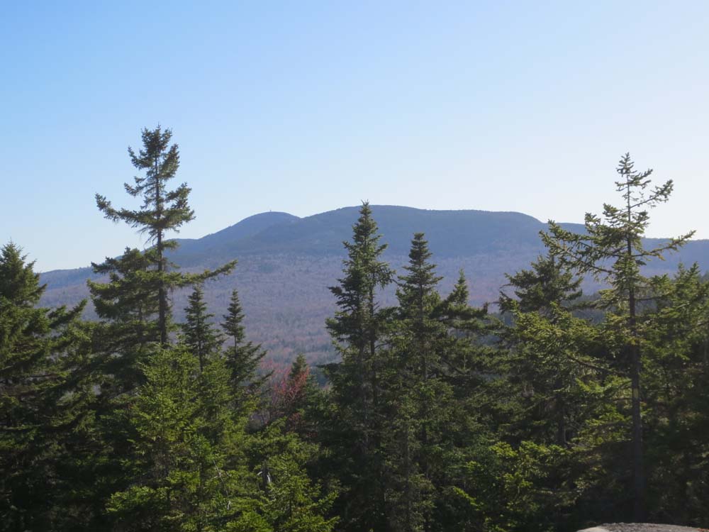
Mt. Cardigan and the Firescrew as seen from the southeast peak of Oregon Mountain

Directions to trailhead: From Bristol, take Route 3A North briefly, then take a left onto Bristol Hill Road. Eventually bear left onto Plummer Hill Road, then take a left onto Thissell Road, then take a right onto Town Pond Road. Town Pond Road eventually joins Mt. Cardigan Road. Bear sharp right at the Shem Valley Road junction, staying on the main road which becomes Brook Road. Shortly thereafter, take a left onto River Road (aka Welton Falls Road). Stay on the main road until reaching the Cream Hill Road turnoff. Rather than bear right onto Cream Hill Road, continue straight onto what becomes Old Dicey Road. As of spring 2013, one could continue over a Kennedy-esque bridge and drive up to the Back 80 Trail trailhead without much difficulty. Where the Back 80 Trail goes straight on a logging road, the Old Dicey Road bears right and uphill.
Back to Mowglis Mountain Profile
Back to Oregon Mountain Profile
|