Home
States
Colorado
Connecticut
Maine
Massachusetts
New Hampshire
New York
Rhode Island
Utah
Vermont
View All
Lists
NE 4,000 Footers
NE 100 Highest
NH 4,000 Footers
NH 100 Highest
NH 52 With A View
NH Belknap Range
NH Ossipee 10
Links
Trail Conditions
Trip Log
Sunrises
Sunsets
About
|
Mt. Garfield, Garfield Ridge (West Peak), Garfield Ridge (East Peak), Galehead Mountain
Bethlehem, NH, Franconia, NH
Trailheads, measurements, times, distances, and maps are all approximate and relative to the hike(s) as shown below.
The abandoned Garfield Pond Trail
Route: Gale River Road, logging road, snowmobile trail, Garfield Trail, Garfield Pond Trail, (Garfield Pond), Garfield Ridge Trail, (Mt. Garfield), Garfield Ridge Trail, bushwhack, (Garfield Ridge West Peak), bushwhack, Garfield Ridge Trail, bushwhack, (Garfield Ridge East Peak), bushwhack, Garfield Ridge Trail, Frost Trail, (Galehead Mountain), Frost Trail, Garfield Ridge Trail, Gale River Trail
With an excellent day forecasted, it seemed like an excellent opportunity to do some exploring whilst hiking Garfield and Galehead.
After parking at the Gale River Road parking area, I jogged west on Gale River Road for about ten minutes, then picked up my backpack (that I had stashed prior to parking) and headed up the logging road and old snowmobile trail, reaching the Garfield Trail (between the two water crossings) in a little less than a half hour (not including the roadwalk).
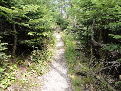
The brisk, lower 50s temperatures to start the day made for smooth sailing up the Garfield Trail. Reaching the top switchback, I stepped into the woods where I suspected the Garfield Pond Trail went and, sure enough, found a very obvious footbed.
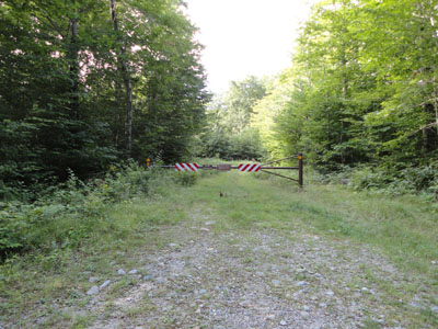
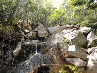
The trail was generally easy to follow (a few blowdowns in some places), though it was a bit obscure as I neared the pond. The pond itself was quite nice, though not as quiet as I would have suspected, since the Appalachian Trail passes so close to the southern shore.
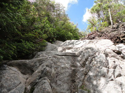
From there, I headed up the Garfield Ridge Trail to Mt. Garfield, climbing up some interesting minor scrambles.
Upon reaching Mt. Garfield, I had lunch and took an extended break on a lower ledge whilst crowds poured in around the old summit foundation.
Our next stop after Mt. Garfield was the west peak of Garfield Ridge. After passing the Franconia Brook Trail junction, the Garfield Ridge Trail started climbing again. Reaching somewhat of a straight away and seeing the trail was going to level off, we bushwhacked south through moderately thick woods, passing a few rocks on the east side that looked like highpoints. We found the recognized higher ground a bit beyond these. Just to the east of this, we found some views of South Twin on top of a rock.
We followed a more easterly route back to the Garfield Ridge Trail, pushing through some young spruce - a bit easier than the ascent.
The next stop was the east peak of Garfield Ridge. After dropping into the col between the peaks on the Garfield Ridge Trail, we eventually reached the ledgy areas near the height of land (near where the trail takes a sharp turn and starts to drop down toward the Gale River Trail). Between the ledgy areas, we pushed into the spruce and soon found ourselves in an open wooded area, where there appeared to be perhaps one or two higher points (but no register).
After giving up the search for the highpoint, we headed out to the vast open ledges/cliffs. Sure enough, the search in the wooded area wasn't necessary, as the side of the ledges/woods turned out to be the recognized highpoint. The cliffs provided superb views from north of the Twins to Mt. Garfield.
For the return bushwhack, we favored a bit west and found ourselves in thicker junk for longer, popping out just below the tricky diagonal ledgy area.
Continuing onward, we reached the hut, dropped our packs, and headed to Galehead and back. Since it was late in the day, there weren't any baked goods left to purchase. After a bit of a break, we headed down the Gale River Trail (the planned reroute hadn't yet been opened and didn't appear to be started either) to the parking lot.
| Hike Ratings |
|
Getting To Trailhead: |
Difficult |
| Destination: |
Mt. Garfield |
|
Length: |
Moderate |
|
Steepness: |
Very Difficult |
|
Navigation: |
Difficult |
|
Views: |
Excellent |
|
Crowds: |
Heavy |
| Destination: |
Garfield Ridge - West Peak |
|
Length: |
Difficult |
|
Steepness: |
Very Difficult |
|
Navigation: |
Difficult |
|
Views: |
Moderate |
|
Crowds: |
Moderate |
| Destination: |
Garfield Ridge - East Peak |
|
Length: |
Difficult |
|
Steepness: |
Difficult |
|
Navigation: |
Difficult |
|
Views: |
Excellent |
|
Crowds: |
Minimal |
| Destination: |
Galehead Mountain |
|
Length: |
Difficult |
|
Steepness: |
Difficult |
|
Navigation: |
Difficult |
|
Views: |
Excellent |
|
Crowds: |
Heavy |
|
| Hike Stats |
|
Date Hiked: |
Saturday, August 7, 2010 |
| Hike Commenced: |
8:17 AM |
| Parking Elevation: |
1,610' |
| Destination: |
Mt. Garfield |
| Ascent Commenced: |
8:27 AM |
| Summit Reached: |
11:11 AM |
| Time Elapsed: |
02:44 |
| Trailhead Elevation: |
1,650' |
| Summit Elevation: |
4,500' |
| Vertical Gain: |
3,120' |
| Destination: |
Garfield Ridge - West Peak |
| Ascent Commenced: |
12:16 PM |
| Summit Reached: |
1:12 PM |
| Time Elapsed: |
00:56 |
| Trailhead Elevation: |
4,500' |
| Summit Elevation: |
3,667' |
| Vertical Gain: |
297' |
| Destination: |
Garfield Ridge - East Peak |
| Ascent Commenced: |
1:20 PM |
| Summit Reached: |
2:16 PM |
| Time Elapsed: |
00:56 |
| Trailhead Elevation: |
3,667' |
| Summit Elevation: |
3,590' |
| Vertical Gain: |
410' |
| Destination: |
Galehead Mountain |
| Ascent Commenced: |
2:34 PM |
| Summit Reached: |
3:34 PM |
| Time Elapsed: |
01:00 |
| Trailhead Elevation: |
3,590' |
| Summit Elevation: |
4,024' |
| Vertical Gain: |
794' |
|
|
| Hike Ended: |
6:20 PM |
| Hike Time Elapsed: |
10:03 |
| Hike Vertical Gain: |
4,916' |
|
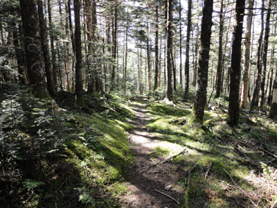
The beginning of the logging road off Gale River Road
Looking across Garfield Pond at the Franconia Ridge

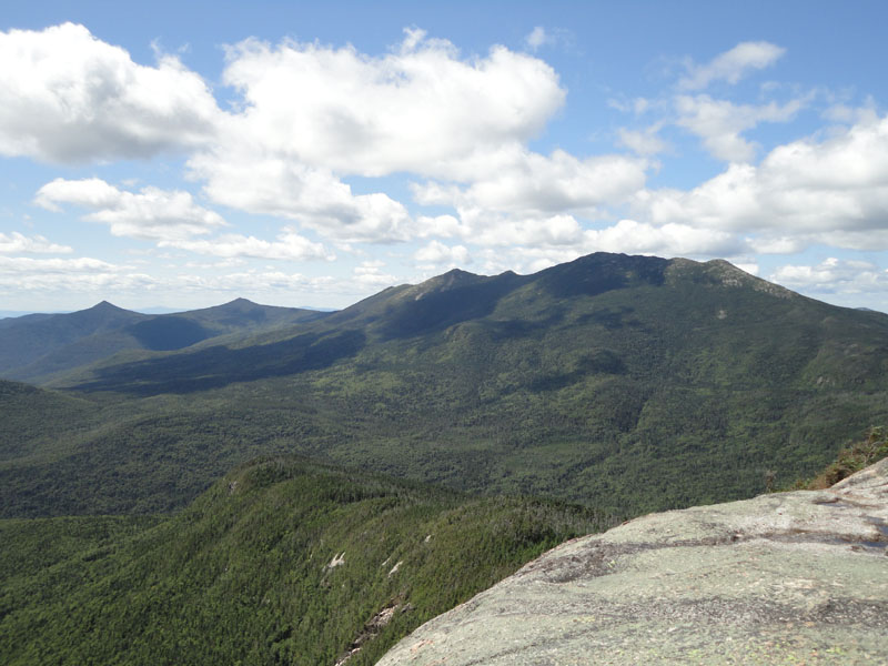
Looking at Fraconia Ridge from Mt. Garfield
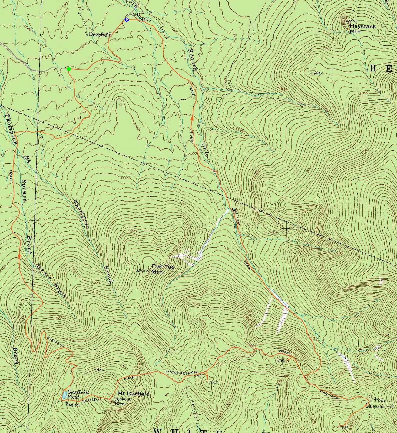
The Garfield Ridge Trail below the campsite, on the way to West Garfield Ridge

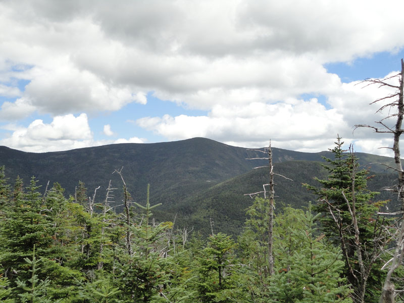
Looking at South Twin from near the summit of Garfield Ridge West Peak
The Garfield Ridge Trail between the West and East Peaks of Garfield Ridge

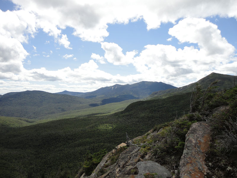
Looking at the Franconia Ridge and Mt. Garfield from near the summit of Garfield Ridge East Peak
The Garfield Ridge Trail on the way to Galehead Mountain

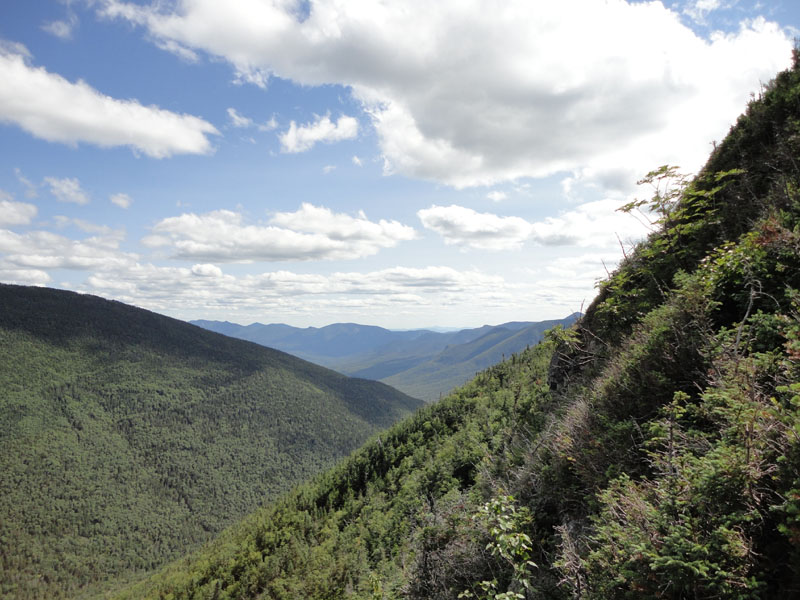
Looking through the Pemi from the Galehead Mountain viewpoint


Directions to trailhead: Take US 3 South from US 302. Take a left for the Gale River camping/hiking area. Shortly after, bear left at the fork in the road. Continue down the road, then take a right at the hiker sign. The WMNF fee parking area is on the left. Continue down Gale River Road. After some twists and turns, Gale River Road has a long straight stretch. Halfway down this stretch, there is a gated woods road on the left, which can be used to access the Garfield Trail.
Back to Mt. Garfield Profile
Back to Garfield Ridge (West Peak) Profile
Back to Garfield Ridge (East Peak) Profile
Back to Galehead Mountain Profile
|