Home
States
Colorado
Connecticut
Maine
Massachusetts
New Hampshire
New York
Rhode Island
Utah
Vermont
View All
Lists
NE 4,000 Footers
NE 100 Highest
NH 4,000 Footers
NH 100 Highest
NH 52 With A View
NH Belknap Range
NH Ossipee 10
Links
Trail Conditions
Trip Log
Sunrises
Sunsets
About
|
Mt. Hayes
Gorham, NH, Shelburne, NH
Trailheads, measurements, times, distances, and maps are all approximate and relative to the hike(s) as shown below.
Looking up the Mahoosuc Trail
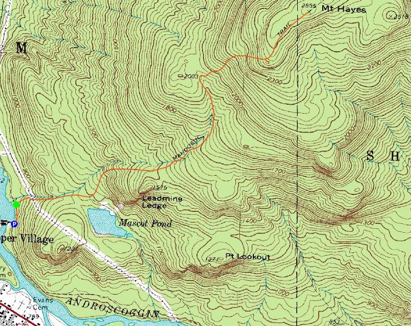
Route: Hogan Road, Mahoosuc Trail, (Mt. Hayes), Mahoosuc Trail, Hogan Road
Mt. Hayes had been on my radar for quite some time. For whatever reason, I had never ended up hiking it. Thus, with the south facing slope, I decided to give it a try.
It was quite an adventure in trying to get to the trailhead - the dirt road went from bumpy to muddy to snowy to partially washed out (ie deep water bars and exposed culverts). I nearly turned back at one point, thinking I must have missed the trailhead.
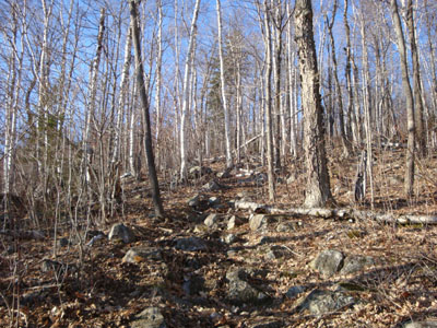
After finally reaching the third dam, I parked and continued up the road, soon reaching the trailhead. The first portion of the trail was fairly dry and gradual. Beyond a spur trail to a pond, things picked up a bit and became somewhat muddy and wet in places. While the footing down low was decent, there was some rocky footing as I climbed.
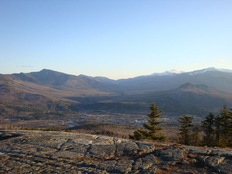
Soon after passing a spur path to a spring, constant snowcover started. Passing a really nice view ledge, I continued along the ridge to the highpoint. While there weren't any real views from it, the views from said ledge 10 minutes away were tremendous. After reaching the summit, I returned to the view ledge. The scenery was amazing, ranging from points in Maine to the Pliny area. Of particular note were the views of the Carters and Presidentials.
With the sun working its way down and the winds picking up, I didn't loiter for long. Fortunately, I was able to make it back to the trailhead without needing to pull out a headlamp.
| Hike Ratings |
|
Getting To Trailhead: |
Moderate |
| Destination: |
Mt. Hayes |
|
Length: |
Moderate |
|
Steepness: |
Difficult |
|
Navigation: |
Easy |
|
Views: |
Excellent |
|
Crowds: |
Minimal |
|
| Hike Stats |
|
Date Hiked: |
Monday, April 13, 2009 |
| Hike Commenced: |
5:24 PM |
| Parking Elevation: |
800' |
| Destination: |
Mt. Hayes |
| Ascent Commenced: |
5:26 PM |
| Summit Reached: |
6:31 PM |
| Time Elapsed: |
01:05 |
| Trailhead Elevation: |
820' |
| Summit Elevation: |
2,555' |
| Distance: |
2.4 miles |
| Vertical Gain: |
1,785' |
|
|
| Hike Ended: |
7:38 PM |
| Hike Time Elapsed: |
02:14 |
| Hike Distance: |
5 miles |
| Hike Vertical Gain: |
1,855' |
|
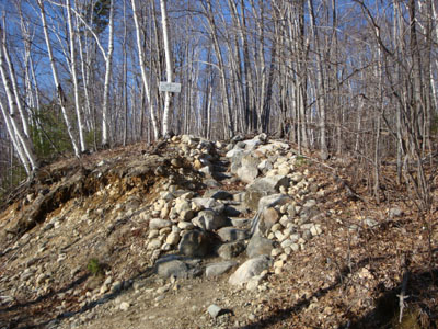
The Mahoosuc Trail trailhead
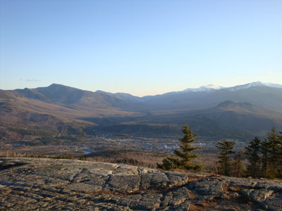
Looking at Pinkham Notch, surrounded by the Carters and Presidentials, from the southern ledges of Mt. Hayes
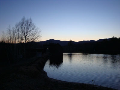
The last minutes of light near the trailhead
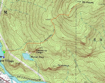

Directions to trailhead: Take US 2 East from Gorham. Take a left onto North Road. After crossing the river adajcent to the first dam, take a left onto Hogan Road. Bear left at any junctions on this rough dirt road (with the exception of when passing the second dam, bear right). Shortly after passing under high tension wires, the third dam will be reached. Park on the right side of the road adjacent to that facility. The Mahoosuc Trail trailhead will be a short walk up the road, on the right.
Back to Mt. Hayes Profile
|