Home
States
Colorado
Connecticut
Maine
Massachusetts
New Hampshire
New York
Rhode Island
Utah
Vermont
View All
Lists
NE 4,000 Footers
NE 100 Highest
NH 4,000 Footers
NH 100 Highest
NH 52 With A View
NH Belknap Range
NH Ossipee 10
Links
Trail Conditions
Trip Log
Sunrises
Sunsets
About
|
Mt. Jackson
Carroll, NH, Hart's Location, NH, Bean's Grant, NH
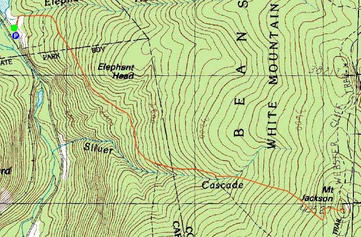
Trailheads, measurements, times, distances, and maps are all approximate and relative to the hike(s) as shown below.
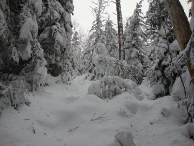
Looking up the Jackson branch of the Webster-Jackson Trail
Route: Webster-Jackson Trail
Plan B for the day was to try and get in a quick hike up Mt. Jackson, prior to hiking Mt. Moriah. Reaching the mostly unplowed Jackson-Webster parking area on US 302, I set foot up a fairly well packed trail, which had been recently devasted by the heavy snowfall and subsequent windy weather. While I was able to bareboot up to Bugle Cliff (while ducking under or stepping over numerous blowdowns), I soon switched over to snowshoes. Reaching the split of the trails, the bareboot tracks ended.
Breaking through 1-3 feet of dense powder was taxing - one foot would sink perhaps three inches whilst the other would sink two feet. Needless to say, along with the sea of blowdowns and hangers, it was slow going. On top of that, my re-injured knee was less than happy with conditions.
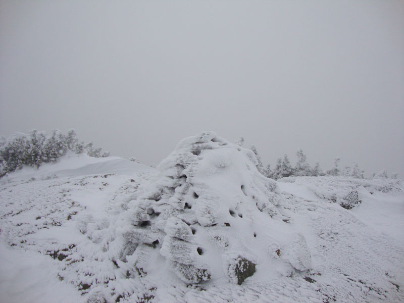
Nearing the socked in summit, I dropped pack and continued up on my snowshoes. With no views and some brisk wind, I didn't linger long. For the descent, I passed dozens of hikers, whilst removing as many blowdowns as I could in a reasonable amount of time.
| Hike Ratings |
|
Getting To Trailhead: |
Easy |
| Destination: |
Mt. Jackson |
|
Length: |
Moderate |
|
Steepness: |
Difficult |
|
Navigation: |
Easy |
|
Views: |
Excellent |
|
Crowds: |
Minimum |
|
| Hike Stats |
|
Date Hiked: |
Sunday, November 29, 2009 |
| Hike Commenced: |
6:46 AM |
| Parking Elevation: |
1,900' |
| Destination: |
Mt. Jackson |
| Ascent Commenced: |
6:47 AM |
| Summit Reached: |
9:41 AM |
| Time Elapsed: |
02:54 |
| Trailhead Elevation: |
1,905' |
| Summit Elevation: |
4,052' |
| Distance: |
2.6 miles |
| Vertical Gain: |
2,322' |
|
|
| Hike Ended: |
11:13 AM |
| Hike Time Elapsed: |
04:27 |
| Hike Distance: |
5.2 miles |
| Hike Vertical Gain: |
2,512' |
|
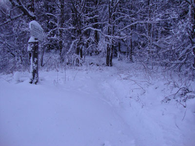
Webster-Jackson Trail trailhead on Route 302
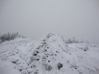
Looking at clouds from Mt. Jackson
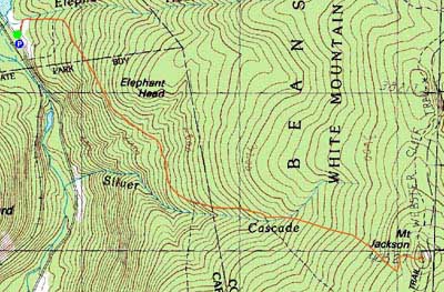

Directions to trailhead: Take Route 302 West from Bartlett into Carroll. There is a small parking lot on the left side of the road. Trailhead is located on the right side of the road, just after the parking lot and just before Saco Lake.
Back to Mt. Jackson Profile
|