Home
States
Colorado
Connecticut
Maine
Massachusetts
New Hampshire
New York
Rhode Island
Utah
Vermont
View All
Lists
NE 4,000 Footers
NE 100 Highest
NH 4,000 Footers
NH 100 Highest
NH 52 With A View
NH Belknap Range
NH Ossipee 10
Links
Trail Conditions
Trip Log
Sunrises
Sunsets
About
|
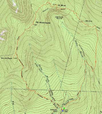
Mt. Jim, Mt. Blue, Mt. Moosilauke, Mt. Moosilauke (South Peak)
Woodstock, NH, Benton, NH
Trailheads, measurements, times, distances, and maps are all approximate and relative to the hike(s) as shown below.
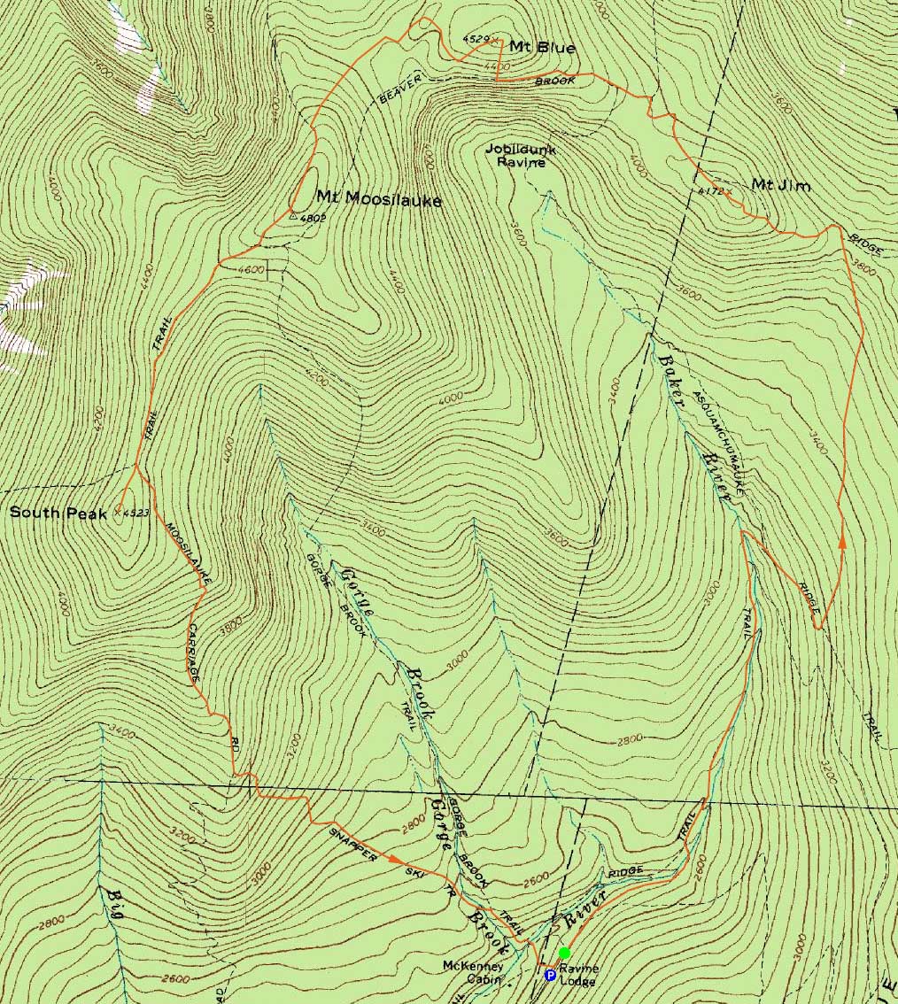
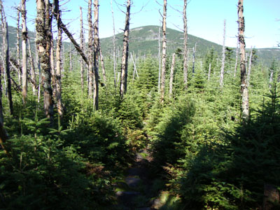
The Asquam-Ridge Trail on the way to Mt. Jim
Route: Asquam Ridge Trail, herd path, (Mt. Jim), herd path, Asquam Ridge Trail, Beaver Brook Trail, bushwhack, (Mt. Blue), bushwhack, Beaver Brook Trail, (Mt. Moosilauke), Carriage Road, South Peak spur trail, (Mt. Moosilauke - South Peak), South Peak spur trail, Carriage Road, Snapper Trail, Gorge Brook Trail
Lucking out with some drier than expected weather after Hurricane Danny moved on, we headed up the Asquam-Ridge Trail. The trail was generally pretty gradual all the way to the Beaver Brook Trail, with decent, though somewhat rocky, footing. Stopping at Mt. Jim, we took a short herd path to the right (north) to the wooded highpoint.
Our next stop was Mt. Blue. We made the mistake of bushwhacking it from the south - after passing through some steep and thick spruce woods, we eventually reached the flat summit area. I suspect the cannister isn't quite at the highpoint. There were a few halfway decent views from blowdown areas near the summit. Heading back to the trail, we bushwhacked to the west and hit much better woods and a shorter overall route.
Heading to the summit of Moosilauke, blue skies were giving way to clouds. Nonetheless, the views were still decent - and a heck of a lot better than expect when the forecast had earlier stated rain.
The final peak of the day was the South Peak. The views from here were great once again.
For the descent, we headed down the Snapper Trail, which was kind to somewhat tired feet and legs.
| Hike Ratings |
|
Getting To Trailhead: |
Easy |
| Destination: |
Mt. Jim |
|
Length: |
Moderate |
|
Steepness: |
Moderate |
|
Navigation: |
Easy |
|
Views: |
Minimal |
|
Crowds: |
Heavy |
| Destination: |
Mt. Blue |
|
Length: |
Moderate |
|
Steepness: |
Very Difficult |
|
Navigation: |
Difficult |
|
Views: |
Excellent |
|
Crowds: |
Heavy |
| Destination: |
Mt. Moosilauke |
|
Length: |
Moderate |
|
Steepness: |
Difficult |
|
Navigation: |
Difficult |
|
Views: |
Excellent |
|
Crowds: |
Heavy |
| Destination: |
Mt. Moosilauke (South Peak) |
|
Length: |
Moderate |
|
Steepness: |
Moderate |
|
Navigation: |
Easy |
|
Views: |
Excellent |
|
Crowds: |
Heavy |
|
| Hike Stats |
|
Date Hiked: |
Sunday, August 30, 2009 |
| Hike Commenced: |
9:05 AM |
| Parking Elevation: |
2,440' |
| Destination: |
Mt. Jim |
| Ascent Commenced: |
9:05 AM |
| Summit Reached: |
10:38 AM |
| Time Elapsed: |
01:33 |
| Trailhead Elevation: |
2,460' |
| Summit Elevation: |
4,172' |
| Vertical Gain: |
1,732' |
| Destination: |
Mt. Blue |
| Ascent Commenced: |
10:54 AM |
| Summit Reached: |
11:35 AM |
| Time Elapsed: |
00:41 |
| Trailhead Elevation: |
4,172' |
| Summit Elevation: |
4,529' |
| Vertical Gain: |
569' |
| Destination: |
Mt. Moosilauke |
| Ascent Commenced: |
11:49 AM |
| Summit Reached: |
12:48 PM |
| Time Elapsed: |
00:59 |
| Trailhead Elevation: |
4,529' |
| Summit Elevation: |
4,802' |
| Vertical Gain: |
482' |
| Destination: |
Mt. Moosilauke (South Peak) |
| Ascent Commenced: |
1:14 PM |
| Summit Reached: |
1:41 PM |
| Time Elapsed: |
00:27 |
| Trailhead Elevation: |
4,802' |
| Summit Elevation: |
4,523' |
| Vertical Gain: |
103' |
|
|
| Hike Ended: |
3:44 PM |
| Hike Time Elapsed: |
06:39 |
| Hike Vertical Gain: |
3,066' |
|
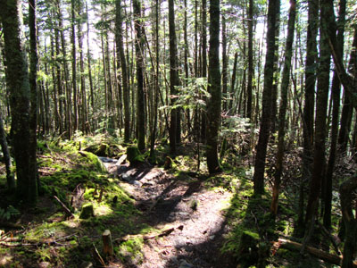
The trailhead at the end of Ravine Lodge Road
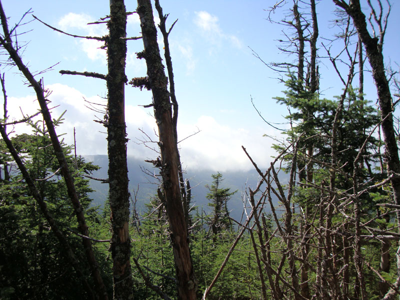
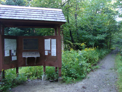
A slight view through the trees from near Mt. Jim
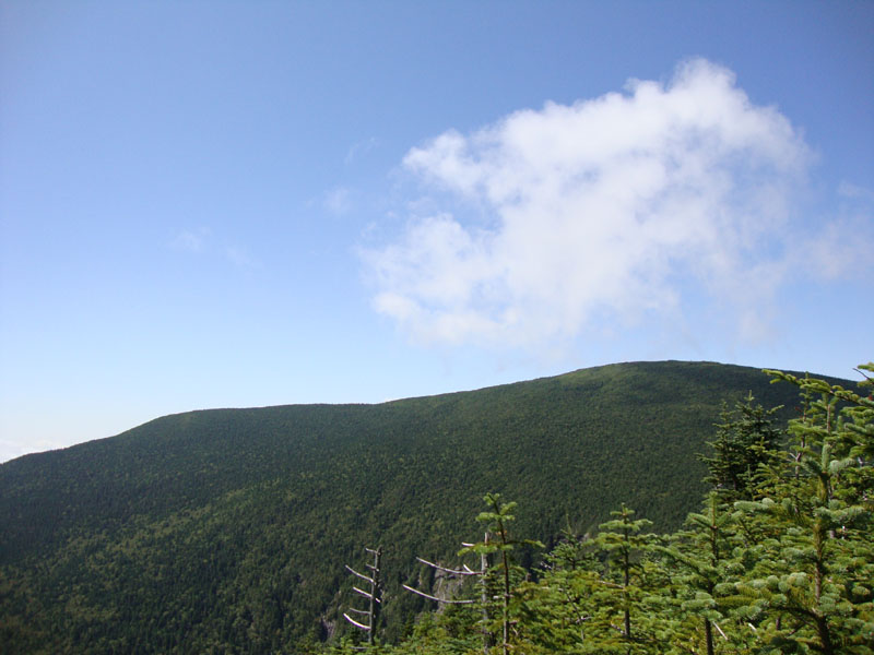
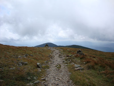
The Asquam-Ridge Trail with Mt. Blue on the horizon
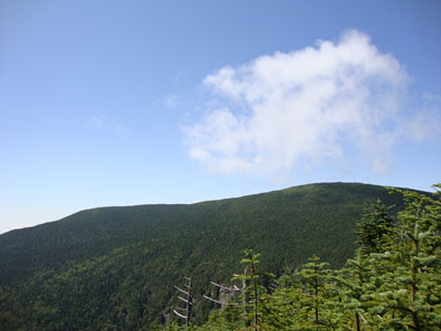
Looking at Mt. Moosilauke from near the summit of Mt. Blue
Heading up the Beaver Brook Trail on the way to Mt. Moosilauke
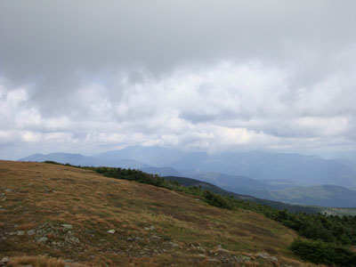
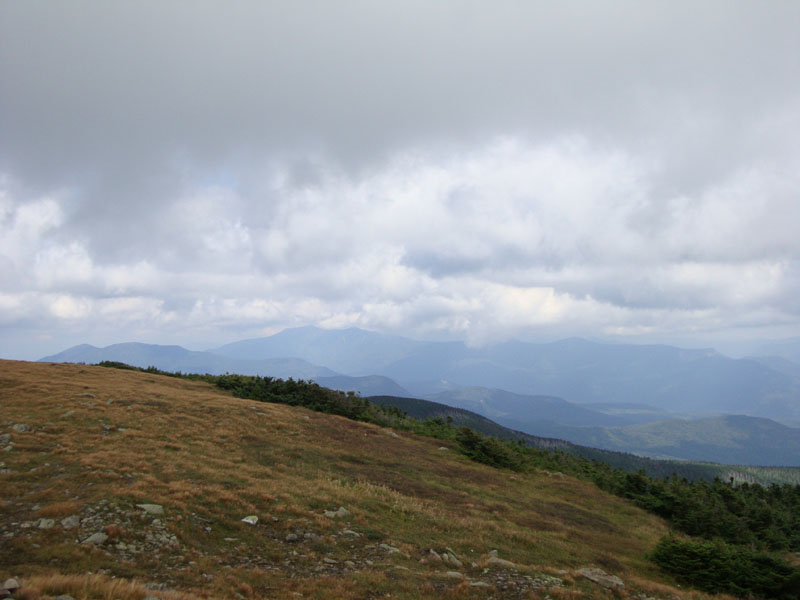
Looking at the Kinsmans and Franconias from near the summit of Mt. Moosilauke
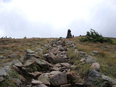
The Carriage Road on the way to Mt. Moosilauke's South Peak
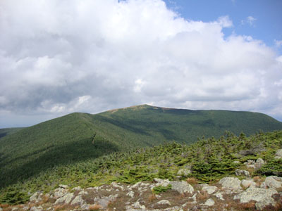
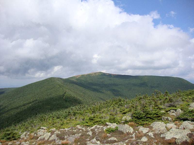
Looking at Mt. Moosilauke from Mt. Moosilauke's South Peak

Directions to trailhead: Take Route 112 West to Route 118 south/west. Ravine Road will be on the right shortly after the height of land. Go down this dirt road and bear right. Limited parking available on the side of the road. The Asquam-Ridge Trail starts at the kiosk at the end of the road.
Back to Mt. Jim Profile
Back to Mt. Blue Profile
Back to Mt. Moosilauke Profile
Back to Mt. Moosilauke (South Peak) Profile
|