Home
States
Colorado
Connecticut
Maine
Massachusetts
New Hampshire
New York
Rhode Island
Utah
Vermont
View All
Lists
NE 4,000 Footers
NE 100 Highest
NH 4,000 Footers
NH 100 Highest
NH 52 With A View
NH Belknap Range
NH Ossipee 10
Links
Trail Conditions
Trip Log
Sunrises
Sunsets
About
|
Mt. Lowell
Livermore, NH, Lincoln, NH
Trailheads, measurements, times, distances, and maps are all approximate and relative to the hike(s) as shown below.
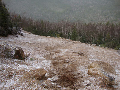
Looking down a small slide on the way up Mt. Lowell
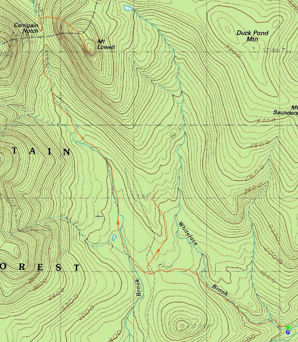
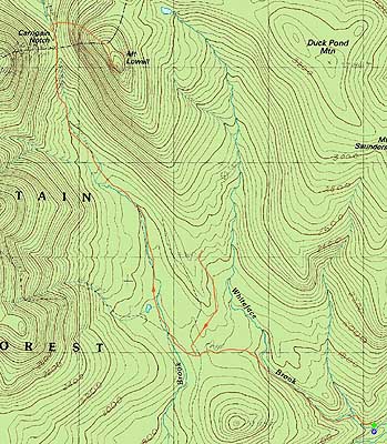
Route: Signal Ridge Trail, Carrigain Notch Trail, bushwhack, (Mt. Lowell), bushwhack, logging roads, Signal Ridge Trail
Mt. Lowell and Mt. Anderson seemed to be a decent choice with a deteriorating forecast. Though forecasted to be sunny in the morning, it started snowing almost immediately. While the first set of crossings was hoppable, the first crossing on the Carrigain Notch Trail was running high.
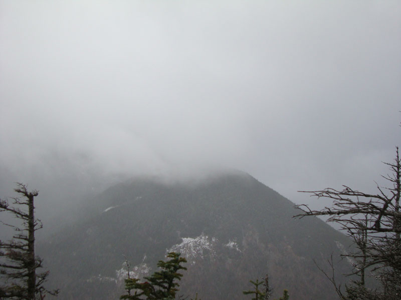
Shortly after passing over the height of land in Carrigain Notch, we headed off the trail and uphill toward the Lowell-Anderson col though less than optimal steep softwoods with some blowdowns. More favorable woods tended to pull us to Lowell and eventually across a small slide. After passing through a nice quasi-alpine zone on a plateau, we continued uphill to the recognized highpoint. Just west of the highpoint was what looked to be a nice vista that would look at Carrigain and Vose Spur, as well as into the Pemi - except, due to the snow, visibility was limited.
With the less than optimal woods and cold winds, we decided to skip Mt. Anderson and instead head down in search of Duck Pond, hoping we'd find better woods. The descent off Lowell was steep and nasty, as we had to skirt around some cliffs. Nearing the valley, we had to climb over a subridge in nasty woods - blowdowns and thick spruce patches with marshy areas in between. Eventually reaching Whiteface Brook, we headed upstream for a bit, but found no easy path or clear logging road. Not a fan of my footwear choice for climbing up a brookbed, I opted to stop a few minutes short of Duck Pond.
After regrouping, we headed down the brook, looking for some sort of path. While we found the occasional muddy logging road or moose path, it was usually short lived. Until reaching hardwoods perhaps around 2,400 feet, we had to deal with lots of spruce (under a mixed hardwood canopy) and blowdowns. Eventually finding the hardwoods, we soon reached a decent old logging road (occasionally choked with spruce) and followed it out to the Signal Ridge Trail, just a bit prior to the Carrigain Notch Trail junction.
| Hike Ratings |
|
Getting To Trailhead: |
Easy |
| Destination: |
Mt. Lowell |
|
Length: |
Moderate |
|
Steepness: |
Very Difficult |
|
Navigation: |
Difficult |
|
Views: |
Moderate (due to weather) |
|
Crowds: |
Moderate |
|
| Hike Stats |
|
Date Hiked: |
Saturday, October 30, 2010 |
| Hike Commenced: |
8:09 AM |
| Parking Elevation: |
1,370' |
| Destination: |
Mt. Lowell |
| Ascent Commenced: |
8:10 AM |
| Summit Reached: |
11:35 AM |
| Time Elapsed: |
03:25 |
| Trailhead Elevation: |
1,370' |
| Summit Elevation: |
3,740' |
| Vertical Gain: |
2,520' |
|
|
| Hike Ended: |
4:56 PM |
| Hike Time Elapsed: |
08:47 |
| Hike Vertical Gain: |
2,920' |
|
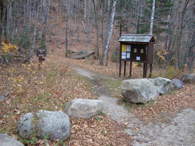
Signal Ridge Trail trailhead on Sawyer River Road
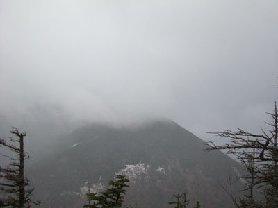
Looking at Vose Spur from near the summit of Mt. Lowell
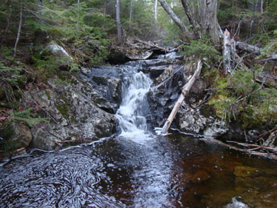
The upper Whiteface Brook below Duck Pond

Directions to trailhead: Take Route 302 West from Bartlett to Sawyer River Road. WMNF fee parking lot is a few minutes up the dirt road on the left. Trailhead is across the road.
Back to Mt. Lowell Profile
|