Home
States
Colorado
Connecticut
Maine
Massachusetts
New Hampshire
New York
Rhode Island
Utah
Vermont
View All
Lists
NE 4,000 Footers
NE 100 Highest
NH 4,000 Footers
NH 100 Highest
NH 52 With A View
NH Belknap Range
NH Ossipee 10
Links
Trail Conditions
Trip Log
Sunrises
Sunsets
About
|
Mt. Martha
Carroll, NH
Trailheads, measurements, times, distances, and maps are all approximate and relative to the hike(s) as shown below.
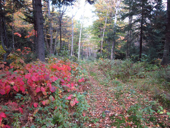
Looking up the Cherry Mountain Trail
Route: Cherry Mountain Trail
Generally gradual grades with decent footing, along with early fall foliage, made for a nice trail jog.
| Hike Ratings |
|
Getting To Trailhead: |
Easy |
| Destination: |
Mt. Martha |
|
Length: |
Moderate |
|
Steepness: |
Moderate |
|
Navigation: |
Easy |
|
Views: |
Excellent |
|
Crowds: |
Minimal |
|
| Hike Stats |
|
Date Hiked: |
Wednesday, September 28, 2011 |
| Parking Elevation: |
2,190' |
| Destination: |
Mt. Martha |
| Time Elapsed: |
00:59 |
| Trailhead Elevation: |
2,190' |
| Summit Elevation: |
3,573' |
| Vertical Gain: |
1,533' |
|
|
| Hike Time Elapsed: |
01:56 |
| Hike Vertical Gain: |
1,683' |
|
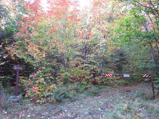
The Cherry Mountain Trail trailhead
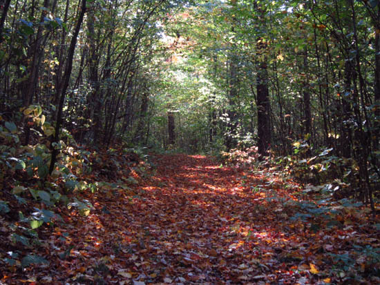
Looking down the Cherry Mountain Trail

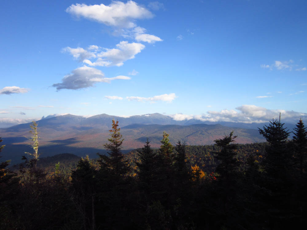
Looking at the Presidentials from Mt. Martha
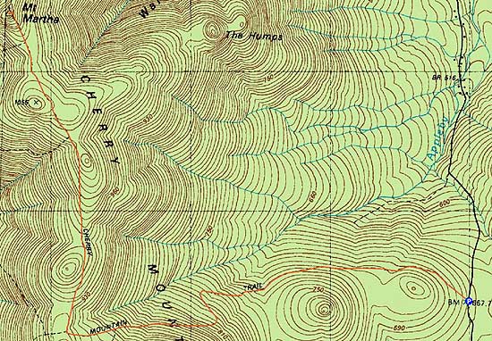

Directions to trailhead: From US 302 near Bretton Woods, take Cherry Mountain Road north. The Cherry Mountain Trail will eventually be on the left, near a height of land, with a small parking lot on the right.
Back to Mt. Martha Profile
|