Home
States
Colorado
Connecticut
Maine
Massachusetts
New Hampshire
New York
Rhode Island
Utah
Vermont
View All
Lists
NE 4,000 Footers
NE 100 Highest
NH 4,000 Footers
NH 100 Highest
NH 52 With A View
NH Belknap Range
NH Ossipee 10
Links
Trail Conditions
Trip Log
Sunrises
Sunsets
About
|
Mt. Pemigewasset
Lincoln, NH
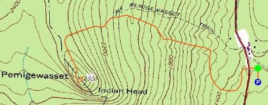
Trailheads, measurements, times, distances, and maps are all approximate and relative to the hike(s) as shown below.
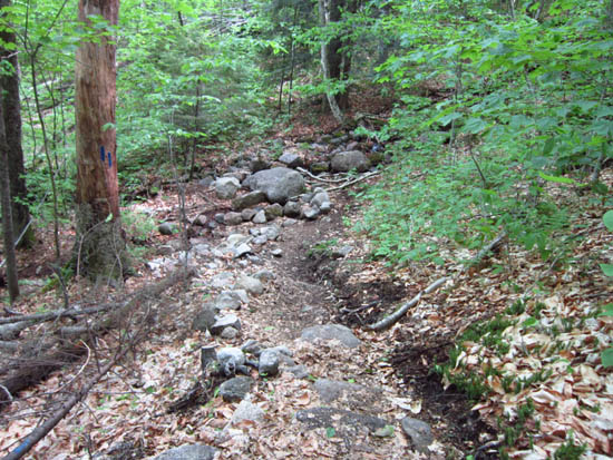
The Mt. Pemigewasset Trail
Route: Bike path, Mt. Pemigewasset Trail, (Mt. Pemigewasset), Mt. Pemigewasset Trail, bike path
Trail in decent shape, bugs not too bad.
| Hike Ratings |
|
Getting To Trailhead: |
Easy |
| Destination: |
Mt. Pemigewasset |
|
Length: |
Moderate |
|
Steepness: |
Moderate |
|
Navigation: |
Easy |
|
Views: |
Excellent |
|
Crowds: |
Minimal |
|
| Hike Stats |
|
Date Hiked: |
Thursday, May 24, 2012 |
| Parking Elevation: |
1,350' |
| Destination: |
Mt. Pemigewasset |
| Time Elapsed: |
00:52 |
| Trailhead Elevation: |
1,370' |
| Summit Elevation: |
2,557' |
| Distance: |
1.8 miles |
| Vertical Gain: |
1,277' |
|
|
| Hike Time Elapsed: |
02:04 |
| Hike Distance: |
3.6 miles |
| Hike Vertical Gain: |
1,387' |
|
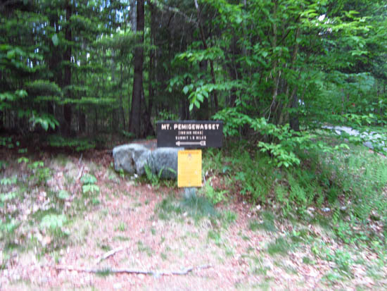
The Mt. Pemigewasset Trail trailhead on the bike path

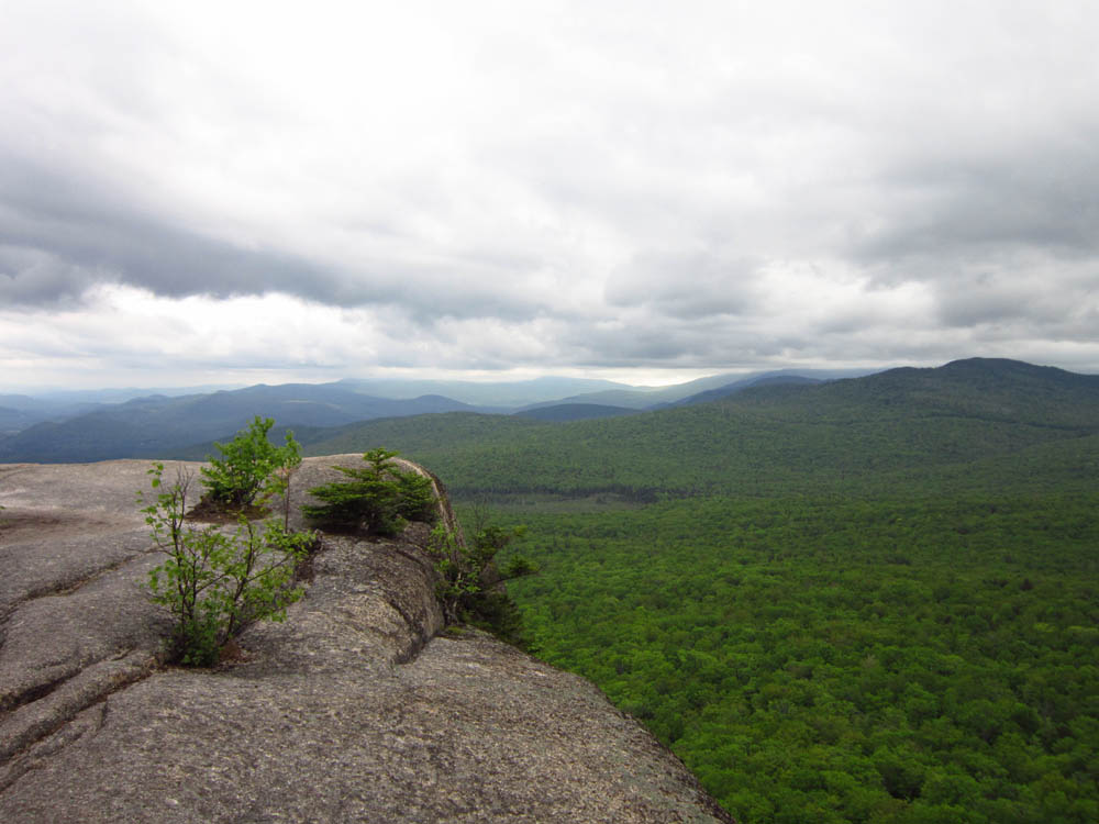
Looking toward Mt. Moosilauke from Mt. Pemigewasset

Directions to trailhead: Take Route 3 North to the Flume Visitor Center. The bike path to the trailhead is next to the furthest north row of parking spaces. Head north on the bike path - the Mt. Pemigewasset Trail trailhead is on the left shortly thereafter.
Back to Mt. Pemigewasset Profile
|